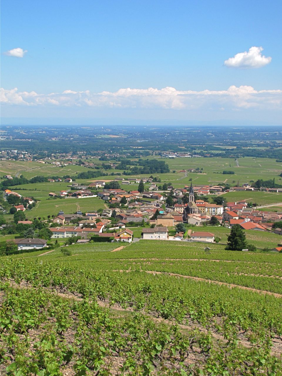
Chiroubles (Chiroubles)

- commune in Rhône, France
- Country:

- Postal Code: 69115
- Coordinates: 46° 10' 50" N, 4° 39' 56" E


- GPS tracks (wikiloc): [Link]
- Area: 7.32 sq km
- Population: 410
- Wikipedia en: wiki(en)
- Wikipedia: wiki(fr)
- Wikidata storage: Wikidata: Q775150
- Wikipedia Commons Category: [Link]
- Freebase ID: [/m/03w9gjr]
- GeoNames ID: Alt: [6450740]
- SIREN number: [216900589]
- BnF ID: [15272146q]
- INSEE municipality code: 69058
Shares border with regions:


Avenas
- commune in Rhône, France
- Country:
- Postal Code: 69430
- Coordinates: 46° 11' 41" N, 4° 36' 18" E
- GPS tracks (wikiloc): [Link]
- Area: 9.49 sq km
- Population: 123


Villié-Morgon
- commune in Rhône, France
- Country:
- Postal Code: 69910
- Coordinates: 46° 9' 44" N, 4° 40' 50" E
- GPS tracks (wikiloc): [Link]
- Area: 18.74 sq km
- Population: 2108
- Web site: [Link]

Fleurie
- commune in Rhône, France
- Country:
- Postal Code: 69820
- Coordinates: 46° 11' 32" N, 4° 41' 51" E
- GPS tracks (wikiloc): [Link]
- Area: 13.94 sq km
- Population: 1248
- Web site: [Link]


Vauxrenard
- commune in Rhône, France
- Country:
- Postal Code: 69820
- Coordinates: 46° 12' 34" N, 4° 38' 39" E
- GPS tracks (wikiloc): [Link]
- Area: 19.19 sq km
- Population: 320