Chouday (Chouday)

- commune in Indre, France
- Country:

- Postal Code: 36100
- Coordinates: 46° 54' 38" N, 2° 3' 54" E


- GPS tracks (wikiloc): [Link]
- Area: 30 sq km
- Population: 148
- Wikipedia en: wiki(en)
- Wikipedia: wiki(fr)
- Wikidata storage: Wikidata: Q1071901
- Wikipedia Commons Category: [Link]
- Freebase ID: [/m/03nvbp4]
- GeoNames ID: Alt: [6448596]
- SIREN number: [213600521]
- BnF ID: [15257356c]
- INSEE municipality code: 36052
Shares border with regions:


Ségry
- commune in Indre, France
- Country:
- Postal Code: 36100
- Coordinates: 46° 53' 26" N, 2° 4' 57" E
- GPS tracks (wikiloc): [Link]
- Area: 33.06 sq km
- Population: 526


Saint-Aubin
- commune in Indre, France
- Country:
- Postal Code: 36100
- Coordinates: 46° 51' 5" N, 2° 1' 27" E
- GPS tracks (wikiloc): [Link]
- Area: 28.32 sq km
- Population: 185


Saint-Ambroix
- commune in Cher, France
- Country:
- Postal Code: 18290
- Coordinates: 46° 55' 54" N, 2° 7' 13" E
- GPS tracks (wikiloc): [Link]
- Area: 31.22 sq km
- Population: 374
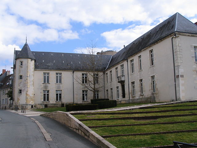

Issoudun
- commune in Indre, France
- Country:
- Postal Code: 36100
- Coordinates: 46° 56' 53" N, 1° 59' 36" E
- GPS tracks (wikiloc): [Link]
- AboveSeaLevel: 129 м m
- Area: 36.6 sq km
- Population: 12029
- Web site: [Link]