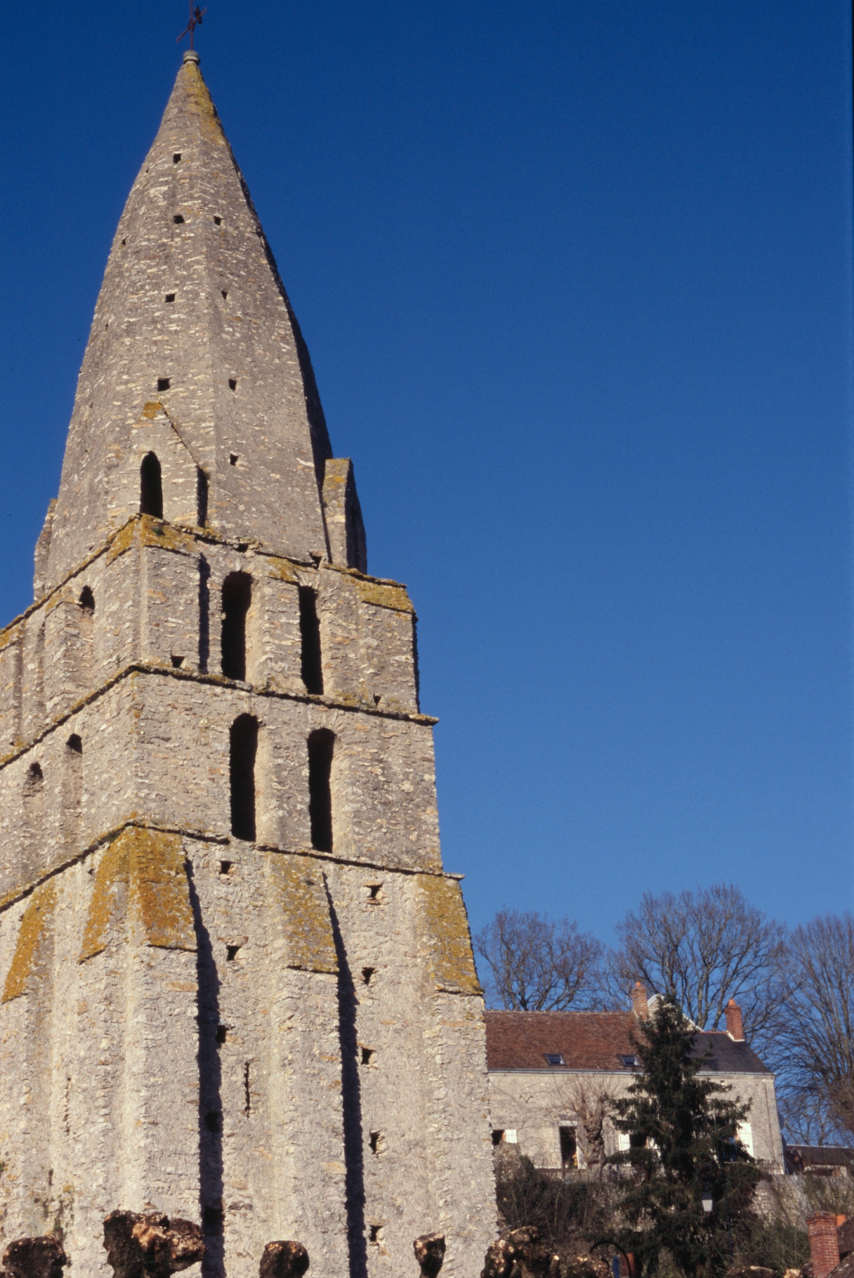
Cigogné (Cigogné)

- commune in Indre-et-Loire, France
- Country:

- Postal Code: 37310
- Coordinates: 47° 15' 35" N, 0° 55' 50" E


- GPS tracks (wikiloc): [Link]
- Area: 21.79 sq km
- Population: 434
- Web site: http://www.communedecigogne.fr
- Wikipedia en: wiki(en)
- Wikipedia: wiki(fr)
- Wikidata storage: Wikidata: Q737792
- Wikipedia Commons Category: [Link]
- Freebase ID: [/m/03nvfjy]
- GeoNames ID: Alt: [6448687]
- SIREN number: [213700750]
- BnF ID: [152576268]
- INSEE municipality code: 37075
Shares border with regions:


Chédigny
- commune in Indre-et-Loire, France
- Country:
- Postal Code: 37310
- Coordinates: 47° 12' 36" N, 0° 59' 58" E
- GPS tracks (wikiloc): [Link]
- Area: 23.17 sq km
- Population: 567
- Web site: [Link]

Courçay
- commune in Indre-et-Loire, France
- Country:
- Postal Code: 37310
- Coordinates: 47° 15' 2" N, 0° 52' 33" E
- GPS tracks (wikiloc): [Link]
- Area: 24.77 sq km
- Population: 814
- Web site: [Link]


Athée-sur-Cher
- commune in Indre-et-Loire, France
- Country:
- Postal Code: 37270
- Coordinates: 47° 19' 15" N, 0° 54' 56" E
- GPS tracks (wikiloc): [Link]
- Area: 34.47 sq km
- Population: 2674
- Web site: [Link]


Sublaines
- commune in Indre-et-Loire, France
- Country:
- Postal Code: 37310
- Coordinates: 47° 15' 52" N, 0° 59' 28" E
- GPS tracks (wikiloc): [Link]
- Area: 14.44 sq km
- Population: 200


Bléré
- commune in Indre-et-Loire, France
- Country:
- Postal Code: 37150
- Coordinates: 47° 19' 31" N, 0° 59' 23" E
- GPS tracks (wikiloc): [Link]
- Area: 30.8 sq km
- Population: 5312
- Web site: [Link]

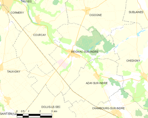
Reignac-sur-Indre
- commune in Indre-et-Loire, France
- Country:
- Postal Code: 37310
- Coordinates: 47° 13' 56" N, 0° 55' 0" E
- GPS tracks (wikiloc): [Link]
- Area: 22.44 sq km
- Population: 1183
- Web site: [Link]