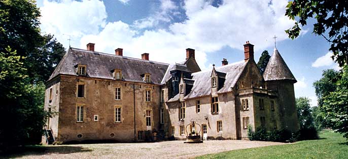
Cizely (Cizely)

- commune in Nièvre, France
- Country:

- Postal Code: 58270
- Coordinates: 46° 59' 19" N, 3° 29' 3" E


- GPS tracks (wikiloc): [Link]
- Area: 7.1 sq km
- Population: 65
- Wikipedia en: wiki(en)
- Wikipedia: wiki(fr)
- Wikidata storage: Wikidata: Q635504
- Wikipedia Commons Category: [Link]
- Freebase ID: [/m/03qfccw]
- GeoNames ID: Alt: [6450004]
- SIREN number: [215800780]
- BnF ID: [152663430]
- PACTOLS thesaurus ID: [pcrtW3piYXPJBb]
- INSEE municipality code: 58078
Shares border with regions:


Frasnay-Reugny
- commune in Nièvre, France
- Country:
- Postal Code: 58270
- Coordinates: 46° 59' 53" N, 3° 30' 36" E
- GPS tracks (wikiloc): [Link]
- Area: 13.62 sq km
- Population: 84

Saint-Benin-d'Azy
- commune in Nièvre, France
- Country:
- Postal Code: 58270
- Coordinates: 46° 59' 58" N, 3° 23' 34" E
- GPS tracks (wikiloc): [Link]
- Area: 35.8 sq km
- Population: 1286


Anlezy
- commune in Nièvre, France
- Country:
- Postal Code: 58270
- Coordinates: 46° 57' 25" N, 3° 30' 21" E
- GPS tracks (wikiloc): [Link]
- Area: 21.13 sq km
- Population: 256


Billy-Chevannes
- commune in Nièvre, France
- Country:
- Postal Code: 58270
- Coordinates: 47° 0' 53" N, 3° 27' 14" E
- GPS tracks (wikiloc): [Link]
- Area: 23.76 sq km
- Population: 340