Claveisolles (Claveisolles)

- commune in Rhône, France
- Country:

- Postal Code: 69870
- Coordinates: 46° 6' 0" N, 4° 29' 38" E


- GPS tracks (wikiloc): [Link]
- Area: 28.33 sq km
- Population: 662
- Wikipedia en: wiki(en)
- Wikipedia: wiki(fr)
- Wikidata storage: Wikidata: Q1157990
- Wikipedia Commons Category: [Link]
- Freebase ID: [/m/03ql6kt]
- GeoNames ID: Alt: [3024722]
- SIREN number: [216900605]
- BnF ID: [15272148d]
- INSEE municipality code: 69060
Shares border with regions:


Vaux-en-Beaujolais
- commune in Rhône, France
- Country:
- Postal Code: 69460
- Coordinates: 46° 3' 22" N, 4° 35' 31" E
- GPS tracks (wikiloc): [Link]
- Area: 17.74 sq km
- Population: 1078
- Web site: [Link]


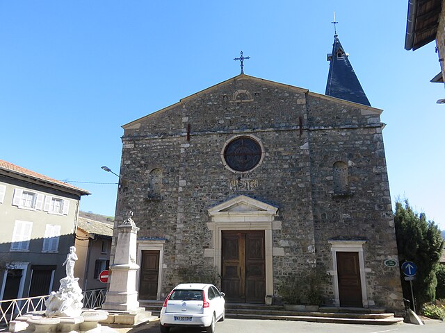
Saint-Nizier-d'Azergues
- commune in Rhône, France
- Country:
- Postal Code: 69870
- Coordinates: 46° 5' 15" N, 4° 27' 57" E
- GPS tracks (wikiloc): [Link]
- Area: 24.23 sq km
- Population: 773
- Web site: [Link]

Poule-les-Écharmeaux
- commune in Rhône, France
- Country:
- Postal Code: 69870
- Coordinates: 46° 8' 56" N, 4° 27' 26" E
- GPS tracks (wikiloc): [Link]
- Area: 31.23 sq km
- Population: 1095
- Web site: [Link]


Le Perréon
- commune in Rhône, France
- Country:
- Postal Code: 69460
- Coordinates: 46° 3' 47" N, 4° 36' 2" E
- GPS tracks (wikiloc): [Link]
- Area: 14.58 sq km
- Population: 1554


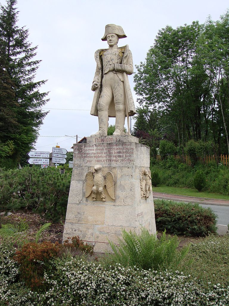
Lamure-sur-Azergues
- commune in Rhône, France
- Country:
- Postal Code: 69870
- Coordinates: 46° 3' 45" N, 4° 29' 31" E
- GPS tracks (wikiloc): [Link]
- Area: 15.61 sq km
- Population: 1048
- Web site: [Link]


Saint-Didier-sur-Beaujeu
- commune in Rhône, France
- Country:
- Postal Code: 69430
- Coordinates: 46° 9' 25" N, 4° 32' 47" E
- GPS tracks (wikiloc): [Link]
- Area: 14.62 sq km
- Population: 620

Marchampt
- commune in Rhône, France
- Country:
- Postal Code: 69430
- Coordinates: 46° 6' 45" N, 4° 34' 17" E
- GPS tracks (wikiloc): [Link]
- Area: 17.74 sq km
- Population: 448