Lamure-sur-Azergues (Lamure-sur-Azergues)

- commune in Rhône, France
- Country:

- Postal Code: 69870
- Coordinates: 46° 3' 45" N, 4° 29' 31" E


- GPS tracks (wikiloc): [Link]
- Area: 15.61 sq km
- Population: 1048
- Web site: http://www.lamuresurazergues.com
- Wikipedia en: wiki(en)
- Wikipedia: wiki(fr)
- Wikidata storage: Wikidata: Q1445012
- Wikipedia Commons Category: [Link]
- Freebase ID: [/m/03ql6qm]
- GeoNames ID: Alt: [6441692]
- SIREN number: [216901074]
- BnF ID: [15272195x]
- WOEID: [601091]
- INSEE municipality code: 69107
Shares border with regions:


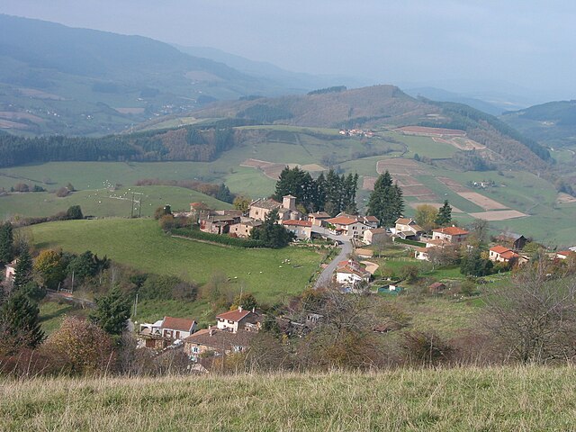
Claveisolles
- commune in Rhône, France
- Country:
- Postal Code: 69870
- Coordinates: 46° 6' 0" N, 4° 29' 38" E
- GPS tracks (wikiloc): [Link]
- Area: 28.33 sq km
- Population: 662


Vaux-en-Beaujolais
- commune in Rhône, France
- Country:
- Postal Code: 69460
- Coordinates: 46° 3' 22" N, 4° 35' 31" E
- GPS tracks (wikiloc): [Link]
- Area: 17.74 sq km
- Population: 1078
- Web site: [Link]


Saint-Nizier-d'Azergues
- commune in Rhône, France
- Country:
- Postal Code: 69870
- Coordinates: 46° 5' 15" N, 4° 27' 57" E
- GPS tracks (wikiloc): [Link]
- Area: 24.23 sq km
- Population: 773
- Web site: [Link]

Grandris
- commune in Rhône, France
- Country:
- Postal Code: 69870
- Coordinates: 46° 2' 16" N, 4° 28' 31" E
- GPS tracks (wikiloc): [Link]
- Area: 15.22 sq km
- Population: 1145
- Web site: [Link]

Chambost-Allières
- commune in Rhône, France
- Country:
- Postal Code: 69870
- Coordinates: 46° 1' 6" N, 4° 29' 55" E
- GPS tracks (wikiloc): [Link]
- Area: 14.14 sq km
- Population: 820

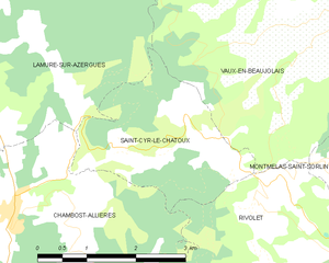
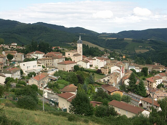
Saint-Cyr-le-Chatoux
- commune in Rhône, France
- Country:
- Postal Code: 69870
- Coordinates: 46° 1' 35" N, 4° 33' 23" E
- GPS tracks (wikiloc): [Link]
- Area: 6.28 sq km
- Population: 138
- Web site: [Link]