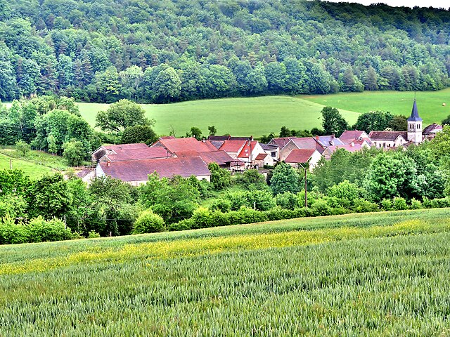
Colmier-le-Haut (Colmier-le-Haut)

- commune in Haute-Marne, France
- Country:

- Postal Code: 52160
- Coordinates: 47° 46' 51" N, 4° 57' 57" E


- GPS tracks (wikiloc): [Link]
- Area: 19.35 sq km
- Population: 52
- Wikipedia en: wiki(en)
- Wikipedia: wiki(fr)
- Wikidata storage: Wikidata: Q1101598
- Wikipedia Commons Category: [Link]
- Freebase ID: [/m/03ntr0p]
- Freebase ID: [/m/03ntr0p]
- GeoNames ID: Alt: [6436142]
- GeoNames ID: Alt: [6436142]
- SIREN number: [215200999]
- SIREN number: [215200999]
- BnF ID: [152633887]
- BnF ID: [152633887]
- INSEE municipality code: 52138
- INSEE municipality code: 52138
Shares border with regions:


Buxerolles
- commune in Côte-d'Or, France
- Country:
- Postal Code: 21290
- Coordinates: 47° 48' 26" N, 4° 55' 56" E
- GPS tracks (wikiloc): [Link]
- Area: 11.97 sq km
- Population: 28


Colmier-le-Bas
- commune in Haute-Marne, France
- Country:
- Postal Code: 52160
- Coordinates: 47° 46' 18" N, 4° 57' 9" E
- GPS tracks (wikiloc): [Link]
- Area: 5.95 sq km
- Population: 23

Germaines
- commune in Haute-Marne, France
- Country:
- Postal Code: 52160
- Coordinates: 47° 47' 55" N, 5° 1' 56" E
- GPS tracks (wikiloc): [Link]
- Area: 8.69 sq km
- Population: 32


Arbot
- commune in Haute-Marne, France
- Country:
- Postal Code: 52160
- Coordinates: 47° 51' 1" N, 5° 0' 34" E
- GPS tracks (wikiloc): [Link]
- Area: 13.15 sq km
- Population: 73


Villars-Santenoge
- commune in Haute-Marne, France
- Country:
- Postal Code: 52160
- Coordinates: 47° 44' 23" N, 4° 59' 31" E
- GPS tracks (wikiloc): [Link]
- AboveSeaLevel: 374 м m
- Area: 19.95 sq km
- Population: 93


Auberive
- commune in Haute-Marne, France
- Country:
- Postal Code: 52160
- Coordinates: 47° 47' 13" N, 5° 3' 43" E
- GPS tracks (wikiloc): [Link]
- Area: 70.64 sq km
- Population: 193


Chambain
- commune in Côte-d'Or, France
- Country:
- Postal Code: 21290
- Coordinates: 47° 47' 53" N, 4° 55' 15" E
- GPS tracks (wikiloc): [Link]
- Area: 9.75 sq km
- Population: 39