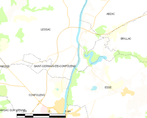
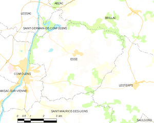
Confolens (Confolens)
- commune in Charente, France
- Country:

- Postal Code: 16500
- Coordinates: 46° 0' 49" N, 0° 40' 20" E


- GPS tracks (wikiloc): [Link]
- AboveSeaLevel: 152 м m
- Area: 18.96 sq km
- Population: 2640
- Web site: http://www.mairie-confolens.fr
- Wikipedia en: wiki(en)
- Wikipedia: wiki(fr)
- Wikidata storage: Wikidata: Q217155
- Wikipedia Commons Category: [Link]
- Freebase ID: [/m/08rgsl]
- Freebase ID: [/m/08rgsl]
- GeoNames ID: Alt: [3023919]
- GeoNames ID: Alt: [3023919]
- BnF ID: [152485459]
- BnF ID: [152485459]
- VIAF ID: Alt: [168376695]
- VIAF ID: Alt: [168376695]
- GND ID: Alt: [4085316-0]
- GND ID: Alt: [4085316-0]
- Library of Congress authority ID: Alt: [n90680624]
- Library of Congress authority ID: Alt: [n90680624]
- INSEE municipality code: 16106
- INSEE municipality code: 16106
Shares border with regions:


Brillac
- commune in Charente, France
- Country:

- Postal Code: 16500
- Coordinates: 46° 3' 38" N, 0° 46' 39" E


- GPS tracks (wikiloc): [Link]
- Area: 42.41 sq km
- Population: 676


Ansac-sur-Vienne
- commune in Charente, France
- Country:

- Postal Code: 16500
- Coordinates: 45° 59' 35" N, 0° 38' 49" E


- GPS tracks (wikiloc): [Link]
- Area: 30.79 sq km
- Population: 839


Saint-Maurice-des-Lions
- commune in Charente, France
- Country:

- Postal Code: 16500
- Coordinates: 45° 57' 54" N, 0° 42' 7" E


- GPS tracks (wikiloc): [Link]
- Area: 50.08 sq km
- Population: 886


Hiesse
- commune in Charente, France
- Country:

- Postal Code: 16490
- Coordinates: 46° 3' 22" N, 0° 35' 29" E


- GPS tracks (wikiloc): [Link]
- Area: 24.75 sq km
- Population: 245


Saint-Germain-de-Confolens
- former commune in Charente, France
- Country:

- Postal Code: 16500
- Coordinates: 46° 3' 11" N, 0° 41' 4" E


- GPS tracks (wikiloc): [Link]
- Area: 4.67 sq km
- Population: 71


Lessac
- commune in Charente, France
- Country:

- Postal Code: 16500
- Coordinates: 46° 4' 7" N, 0° 40' 32" E


- GPS tracks (wikiloc): [Link]
- Area: 34.14 sq km
- Population: 555


Esse
- commune in Charente, France
- Country:

- Postal Code: 16500
- Coordinates: 46° 1' 57" N, 0° 43' 17" E


- GPS tracks (wikiloc): [Link]
- Area: 30.37 sq km
- Population: 506
