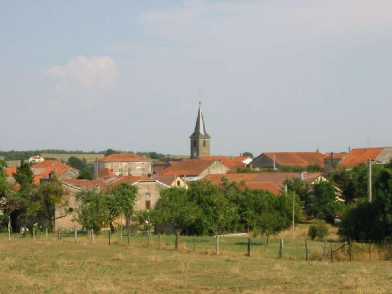
Contrexéville (Contrexéville)

- commune in Vosges, France
- Country:

- Postal Code: 88140
- Coordinates: 48° 11' 4" N, 5° 53' 44" E


- GPS tracks (wikiloc): [Link]
- AboveSeaLevel: 344 м m
- Area: 14.96 sq km
- Population: 3259
- Web site: http://www.vittel-contrexeville.fr/contrexeville.html
- Wikipedia en: wiki(en)
- Wikipedia: wiki(fr)
- Wikidata storage: Wikidata: Q633628
- Wikipedia Commons Gallery: [Link]
- Wikipedia Commons Category: [Link]
- Freebase ID: [/m/046yzb]
- Freebase ID: [/m/046yzb]
- GeoNames ID: Alt: [3023808]
- GeoNames ID: Alt: [3023808]
- SIREN number: [218801140]
- SIREN number: [218801140]
- BnF ID: [15279042r]
- BnF ID: [15279042r]
- VIAF ID: Alt: [133679140]
- VIAF ID: Alt: [133679140]
- Library of Congress authority ID: Alt: [n89139603]
- Library of Congress authority ID: Alt: [n89139603]
- PACTOLS thesaurus ID: [pcrtgPFRTjIxWv]
- PACTOLS thesaurus ID: [pcrtgPFRTjIxWv]
- INSEE municipality code: 88114
- INSEE municipality code: 88114
Shares border with regions:


Mandres-sur-Vair
- commune in Vosges, France
- Country:
- Postal Code: 88800
- Coordinates: 48° 13' 26" N, 5° 53' 33" E
- GPS tracks (wikiloc): [Link]
- Area: 11.93 sq km
- Population: 461


Vittel
- commune in Vosges, France
- Country:
- Postal Code: 88800
- Coordinates: 48° 12' 6" N, 5° 56' 58" E
- GPS tracks (wikiloc): [Link]
- AboveSeaLevel: 335 м m
- Area: 24.13 sq km
- Population: 5213
- Web site: [Link]


Norroy
- commune in Vosges, France
- Country:
- Postal Code: 88800
- Coordinates: 48° 12' 56" N, 5° 55' 12" E
- GPS tracks (wikiloc): [Link]
- Area: 7.22 sq km
- Population: 228


Suriauville
- commune in Vosges, France
- Country:
- Postal Code: 88140
- Coordinates: 48° 10' 6" N, 5° 51' 48" E
- GPS tracks (wikiloc): [Link]
- Area: 13.44 sq km
- Population: 217

Dombrot-le-Sec
- commune in Vosges, France
- Country:
- Postal Code: 88140
- Coordinates: 48° 8' 44" N, 5° 54' 37" E
- GPS tracks (wikiloc): [Link]
- Area: 18.89 sq km
- Population: 376


Bulgnéville
- commune in Vosges, France
- Country:
- Postal Code: 88140
- Coordinates: 48° 12' 26" N, 5° 50' 5" E
- GPS tracks (wikiloc): [Link]
- Area: 13.33 sq km
- Population: 1517
- Web site: [Link]


Lignéville
- commune in Vosges, France
- Country:
- Postal Code: 88800
- Coordinates: 48° 9' 57" N, 5° 57' 5" E
- GPS tracks (wikiloc): [Link]
- Area: 12.53 sq km
- Population: 313