Corcieux (Corcieux)
- commune in Vosges, France
- Country:

- Postal Code: 88430
- Coordinates: 48° 10' 20" N, 6° 52' 46" E


- GPS tracks (wikiloc): [Link]
- Area: 17.4 sq km
- Population: 1550
- Web site: http://www.corcieux.fr
- Wikipedia en: wiki(en)
- Wikipedia: wiki(fr)
- Wikidata storage: Wikidata: Q832301
- Wikipedia Commons Category: [Link]
- Freebase ID: [/m/03qgvhb]
- Freebase ID: [/m/03qgvhb]
- GeoNames ID: Alt: [3023709]
- GeoNames ID: Alt: [3023709]
- SIREN number: [218801157]
- SIREN number: [218801157]
- BnF ID: [152790433]
- BnF ID: [152790433]
- VIAF ID: Alt: [158407629]
- VIAF ID: Alt: [158407629]
- Library of Congress authority ID: Alt: [n90702151]
- Library of Congress authority ID: Alt: [n90702151]
- WOEID: [586958]
- WOEID: [586958]
- INSEE municipality code: 88115
- INSEE municipality code: 88115
Shares border with regions:


Arrentès-de-Corcieux
- commune in Vosges, France
- Country:

- Postal Code: 88430
- Coordinates: 48° 8' 42" N, 6° 51' 52" E


- GPS tracks (wikiloc): [Link]
- Area: 17 sq km
- Population: 174


Anould
- commune in Vosges, France
- Country:

- Postal Code: 88650
- Coordinates: 48° 11' 8" N, 6° 56' 44" E


- GPS tracks (wikiloc): [Link]
- Area: 24.23 sq km
- Population: 3355
- Web site: [Link]


La Houssière
- commune in Vosges, France
- Country:

- Postal Code: 88430
- Coordinates: 48° 11' 43" N, 6° 51' 14" E


- GPS tracks (wikiloc): [Link]
- Area: 19.54 sq km
- Population: 598


La Chapelle-devant-Bruyères
- commune in Vosges, France
- Country:

- Postal Code: 95780
- Coordinates: 48° 11' 7" N, 6° 47' 18" E


- GPS tracks (wikiloc): [Link]
- AboveSeaLevel: 453 м m
- Area: 20.23 sq km
- Population: 592


Gerbépal
- commune in Vosges, France
- Country:

- Postal Code: 88430
- Coordinates: 48° 9' 0" N, 6° 55' 19" E


- GPS tracks (wikiloc): [Link]
- Area: 19.18 sq km
- Population: 583
- Web site: [Link]


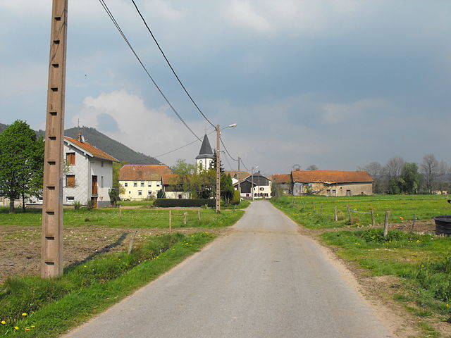
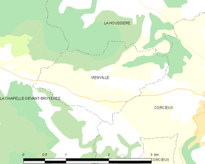
Vienville
- commune in Vosges, France
- Country:

- Postal Code: 88430
- Coordinates: 48° 10' 28" N, 6° 49' 49" E


- GPS tracks (wikiloc): [Link]
- Area: 3.38 sq km
- Population: 129
