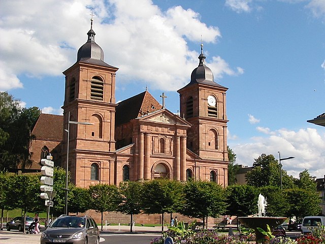
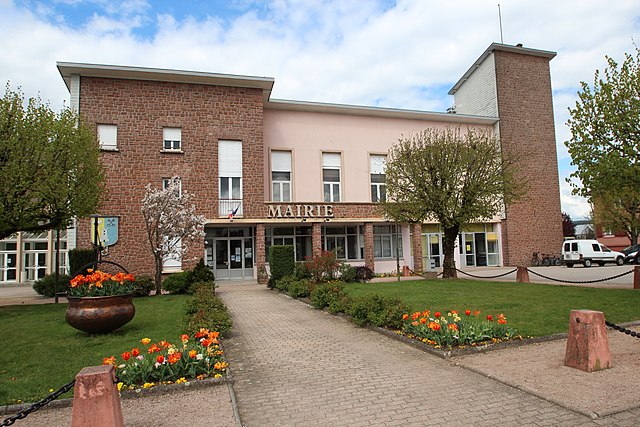
arrondissement of Saint-Dié-des-Vosges (arrondissement de Saint-Dié-des-Vosges)

- arrondissement of France
- Country:

- Capital: Saint-Dié-des-Vosges
- Coordinates: 48° 15' 0" N, 6° 55' 0" E


- GPS tracks (wikiloc): [Link]
- Population: 91533
- Wikipedia en: wiki(en)
- Wikipedia: wiki(fr)
- Wikidata storage: Wikidata: Q669792
- Freebase ID: [/m/0956rf]
- GeoNames ID: Alt: [2980826]
- INSEE arrondissement code: [883]
- GNS Unique Feature ID: -1464637
Includes regions:

canton of Brouvelieures
- canton of France (until March 2015)
- Country:
- Capital: Brouvelieures
- Coordinates: 48° 14' 11" N, 6° 43' 27" E
- GPS tracks (wikiloc): [Link]

canton of Provenchères-sur-Fave
- canton of France (until March 2015)
- Country:
- Capital: Provenchères-sur-Fave
- Coordinates: 48° 18' 31" N, 7° 4' 9" E
- GPS tracks (wikiloc): [Link]
canton of Saint-Dié-des-Vosges-Est
- canton of France (until March 2015)
- Country:
- Capital: Saint-Dié-des-Vosges
- Coordinates: 48° 17' 1" N, 6° 56' 56" E
- GPS tracks (wikiloc): [Link]


canton of Raon-l'Étape
- canton of France
- Country:
- Capital: Raon-l'Étape
- Coordinates: 48° 24' 8" N, 6° 49' 49" E
- GPS tracks (wikiloc): [Link]
- Population: 24343
canton of Saint-Dié-des-Vosges-Ouest
- canton of France
- Country:
- Capital: Saint-Dié-des-Vosges
- Coordinates: 48° 17' 1" N, 6° 56' 56" E
- GPS tracks (wikiloc): [Link]


canton of Gérardmer
- canton of France
- Country:
- Capital: Gérardmer
- Coordinates: 48° 4' 9" N, 6° 52' 15" E
- GPS tracks (wikiloc): [Link]
- Population: 25708