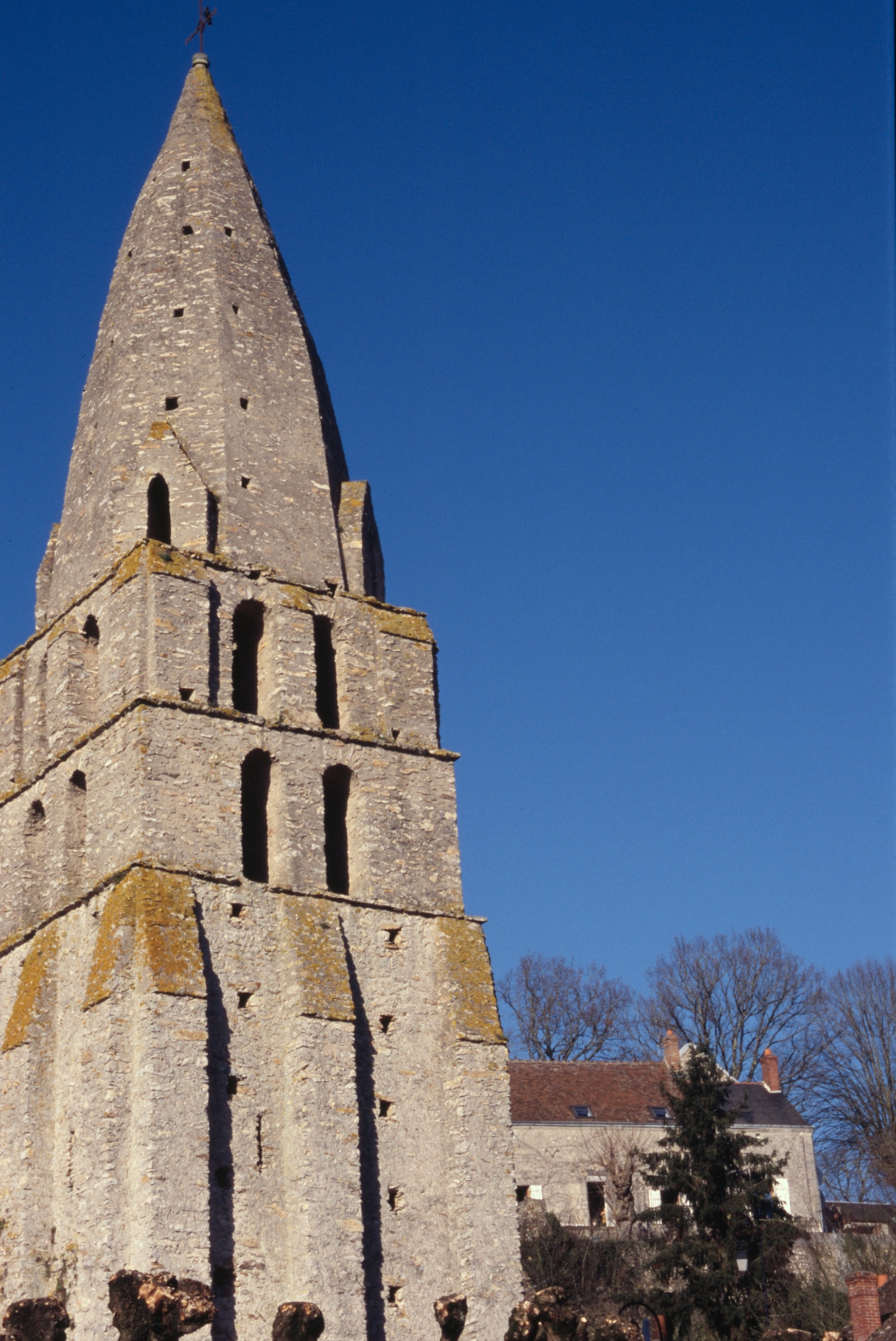
Cormery (Cormery)

- commune in Indre-et-Loire, France
- Country:

- Postal Code: 37320
- Coordinates: 47° 16' 2" N, 0° 50' 12" E


- GPS tracks (wikiloc): [Link]
- Area: 6.07 sq km
- Population: 1770
- Web site: http://www.cormery.fr
- Wikipedia en: wiki(en)
- Wikipedia: wiki(fr)
- Wikidata storage: Wikidata: Q1135988
- Wikipedia Commons Category: [Link]
- Wikipedia Commons Maps Category: [Link]
- Freebase ID: [/m/03nvfl9]
- GeoNames ID: Alt: [6448694]
- SIREN number: [213700834]
- BnF ID: [15257634w]
- VIAF ID: Alt: [200042266]
- WOEID: [587015]
- INSEE municipality code: 37083
Shares border with regions:


Esvres
- commune in Indre-et-Loire, France
- Country:
- Postal Code: 37320
- Coordinates: 47° 17' 4" N, 0° 47' 10" E
- GPS tracks (wikiloc): [Link]
- Area: 35.85 sq km
- Population: 5702
- Web site: [Link]

Courçay
- commune in Indre-et-Loire, France
- Country:
- Postal Code: 37310
- Coordinates: 47° 15' 2" N, 0° 52' 33" E
- GPS tracks (wikiloc): [Link]
- Area: 24.77 sq km
- Population: 814
- Web site: [Link]


Truyes
- commune in Indre-et-Loire, France
- Country:
- Postal Code: 37320
- Coordinates: 47° 16' 22" N, 0° 51' 0" E
- GPS tracks (wikiloc): [Link]
- Area: 16.39 sq km
- Population: 2344
- Web site: [Link]


Tauxigny
- former commune in Indre-et-Loire, France
- Country:
- Postal Code: 37310
- Coordinates: 47° 12' 50" N, 0° 50' 4" E
- GPS tracks (wikiloc): [Link]
- Area: 36.83 sq km
- Population: 1403
- Web site: [Link]


Saint-Branchs
- commune in Indre-et-Loire, France
- Country:
- Postal Code: 37320
- Coordinates: 47° 13' 37" N, 0° 46' 20" E
- GPS tracks (wikiloc): [Link]
- Area: 51.16 sq km
- Population: 2594
- Web site: [Link]