Tauxigny (Tauxigny)

- former commune in Indre-et-Loire, France
- Country:

- Postal Code: 37310
- Coordinates: 47° 12' 50" N, 0° 50' 4" E


- GPS tracks (wikiloc): [Link]
- Area: 36.83 sq km
- Population: 1403
- Web site: http://www.tauxigny.fr
- Wikipedia en: wiki(en)
- Wikipedia: wiki(fr)
- Wikidata storage: Wikidata: Q1170692
- Wikipedia Commons Category: [Link]
- Freebase ID: [/m/03nvf79]
- GeoNames ID: Alt: [6433139]
- SIREN number: [213702541]
- BnF ID: [15257802t]
- TGN ID: [1035824]
- INSEE municipality code: 37254
Shares border with regions:


Dolus-le-Sec
- commune in Indre-et-Loire, France
- Country:
- Postal Code: 37310
- Coordinates: 47° 9' 53" N, 0° 53' 34" E
- GPS tracks (wikiloc): [Link]
- Area: 27.27 sq km
- Population: 668

Courçay
- commune in Indre-et-Loire, France
- Country:
- Postal Code: 37310
- Coordinates: 47° 15' 2" N, 0° 52' 33" E
- GPS tracks (wikiloc): [Link]
- Area: 24.77 sq km
- Population: 814
- Web site: [Link]


Cormery
- commune in Indre-et-Loire, France
- Country:
- Postal Code: 37320
- Coordinates: 47° 16' 2" N, 0° 50' 12" E
- GPS tracks (wikiloc): [Link]
- Area: 6.07 sq km
- Population: 1770
- Web site: [Link]

Le Louroux
- commune in Indre-et-Loire, France
- Country:
- Postal Code: 37240
- Coordinates: 47° 9' 38" N, 0° 47' 11" E
- GPS tracks (wikiloc): [Link]
- Area: 28.87 sq km
- Population: 520
- Web site: [Link]


Saint-Branchs
- commune in Indre-et-Loire, France
- Country:
- Postal Code: 37320
- Coordinates: 47° 13' 37" N, 0° 46' 20" E
- GPS tracks (wikiloc): [Link]
- Area: 51.16 sq km
- Population: 2594
- Web site: [Link]


Saint-Bauld
- former commune in Indre-et-Loire, France
- Country:
- Postal Code: 37310
- Coordinates: 47° 10' 48" N, 0° 50' 14" E
- GPS tracks (wikiloc): [Link]
- Area: 4.11 sq km
- Population: 196


Louans
- commune in Indre-et-Loire, France
- Country:
- Postal Code: 37320
- Coordinates: 47° 11' 3" N, 0° 44' 47" E
- GPS tracks (wikiloc): [Link]
- Area: 18.02 sq km
- Population: 634
- Web site: [Link]

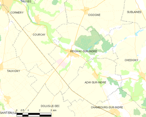
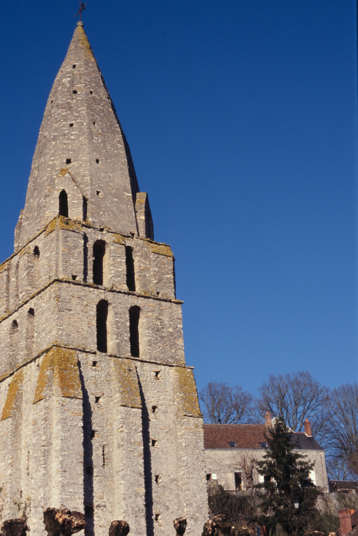
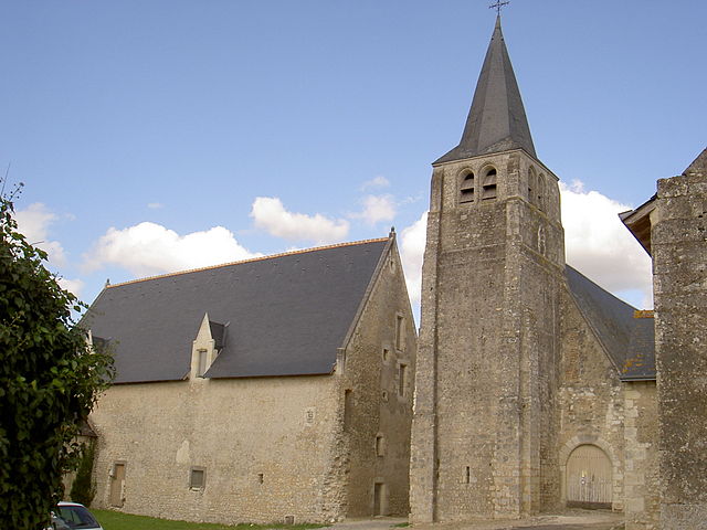
Reignac-sur-Indre
- commune in Indre-et-Loire, France
- Country:
- Postal Code: 37310
- Coordinates: 47° 13' 56" N, 0° 55' 0" E
- GPS tracks (wikiloc): [Link]
- Area: 22.44 sq km
- Population: 1183
- Web site: [Link]