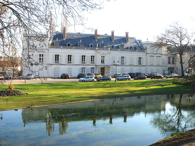
Courcouronnes (Courcouronnes)

- commune in Essonne, France
- Country:

- Postal Code: 91080
- Coordinates: 48° 37' 5" N, 2° 24' 25" E


- GPS tracks (wikiloc): [Link]
- Area: 4.37 sq km
- Population: 13344
- Web site: http://www.courcouronnes.fr
- Wikipedia en: wiki(en)
- Wikipedia: wiki(fr)
- Wikidata storage: Wikidata: Q1138493
- Wikipedia Commons Category: [Link]
- Freebase ID: [/m/06181l]
- Freebase ID: [/m/06181l]
- GeoNames ID: Alt: [3023056]
- GeoNames ID: Alt: [3023056]
- SIREN number: [219101821]
- SIREN number: [219101821]
- BnF ID: [152801035]
- BnF ID: [152801035]
- VIAF ID: Alt: [167532849]
- VIAF ID: Alt: [167532849]
- GND ID: Alt: [4743240-8]
- GND ID: Alt: [4743240-8]
- Library of Congress authority ID: Alt: [n2001101571]
- Library of Congress authority ID: Alt: [n2001101571]
- Twitter username: Alt: [courcouronnes_]
- Twitter username: Alt: [courcouronnes_]
- INSEE municipality code: 91182
- INSEE municipality code: 91182
Shares border with regions:


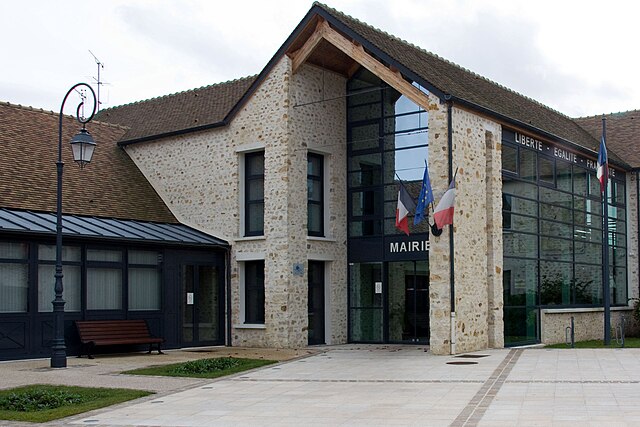
Évry
- commune in Essonne, France
- Country:
- Postal Code: 91000
- Coordinates: 48° 37' 26" N, 2° 25' 46" E
- GPS tracks (wikiloc): [Link]
- AboveSeaLevel: 53 м m
- Area: 8.33 sq km
- Population: 53871
- Web site: [Link]

Lisses
- commune in Essonne, France
- Country:
- Postal Code: 91090
- Coordinates: 48° 35' 52" N, 2° 25' 35" E
- GPS tracks (wikiloc): [Link]
- Area: 10.4 sq km
- Population: 7586
- Web site: [Link]
Ris-Orangis
- commune in Essonne, France
- Country:
- Postal Code: 91130
- Coordinates: 48° 39' 4" N, 2° 24' 47" E
- GPS tracks (wikiloc): [Link]
- Area: 8.71 sq km
- Population: 27797
- Web site: [Link]
Bondoufle
- commune in Essonne, France
- Country:
- Postal Code: 91070
- Coordinates: 48° 36' 48" N, 2° 22' 50" E
- GPS tracks (wikiloc): [Link]
- Area: 6.76 sq km
- Population: 9066
- Web site: [Link]