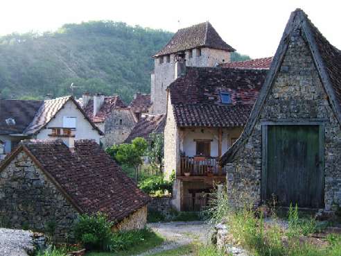
Cras (Cras)

- commune in Lot, France
- Country:

- Postal Code: 46360
- Coordinates: 44° 34' 3" N, 1° 32' 0" E


- GPS tracks (wikiloc): [Link]
- Area: 10.22 sq km
- Population: 97
- Wikipedia en: wiki(en)
- Wikipedia: wiki(fr)
- Wikidata storage: Wikidata: Q1326595
- Wikipedia Commons Category: [Link]
- Freebase ID: [/m/03mgmqz]
- GeoNames ID: Alt: [6449238]
- SIREN number: [214600793]
- BnF ID: [152608208]
- PACTOLS thesaurus ID: [pcrtSxDkr3xKIV]
- INSEE municipality code: 46079
Shares border with regions:

Saint-Martin-de-Vers
- former commune in Lot, France
- Country:
- Postal Code: 46360
- Coordinates: 44° 34' 51" N, 1° 33' 32" E
- GPS tracks (wikiloc): [Link]
- Area: 9.93 sq km
- Population: 101
Lauzès
- commune in Lot, France
- Country:
- Postal Code: 46360
- Coordinates: 44° 34' 7" N, 1° 34' 51" E
- GPS tracks (wikiloc): [Link]
- Area: 6.39 sq km
- Population: 169


Cabrerets
- commune in Lot, France
- Country:
- Postal Code: 46330
- Coordinates: 44° 30' 22" N, 1° 39' 17" E
- GPS tracks (wikiloc): [Link]
- Area: 43.38 sq km
- Population: 230
Cours
- former commune in Lot, France
- Country:
- Postal Code: 46090
- Coordinates: 44° 31' 7" N, 1° 32' 27" E
- GPS tracks (wikiloc): [Link]
- Area: 17.05 sq km
- Population: 283
Nadillac
- commune in Lot, France
- Country:
- Postal Code: 46360
- Coordinates: 44° 33' 45" N, 1° 31' 6" E
- GPS tracks (wikiloc): [Link]
- Area: 7.35 sq km
- Population: 62