Creney-près-Troyes (Creney-près-Troyes)

- commune in Aube, France
- Country:

- Postal Code: 10150
- Coordinates: 48° 19' 56" N, 4° 7' 37" E


- GPS tracks (wikiloc): [Link]
- Area: 15.76 sq km
- Population: 1783
- Wikipedia en: wiki(en)
- Wikipedia: wiki(fr)
- Wikidata storage: Wikidata: Q1146672
- Wikipedia Commons Category: [Link]
- Freebase ID: [/m/03m8rhp]
- GeoNames ID: Alt: [6614740]
- SIREN number: [211001094]
- BnF ID: [15246207f]
- PACTOLS thesaurus ID: [pcrt8aSqJxn6eG]
- INSEE municipality code: 10115
Shares border with regions:


Lavau
- commune in Aube, France
- Country:
- Postal Code: 10150
- Coordinates: 48° 19' 30" N, 4° 5' 12" E
- GPS tracks (wikiloc): [Link]
- Area: 5.74 sq km
- Population: 989


Saint-Parres-aux-Tertres
- commune in Aube, France
- Country:
- Postal Code: 10410
- Coordinates: 48° 17' 59" N, 4° 7' 4" E
- GPS tracks (wikiloc): [Link]
- Area: 11.82 sq km
- Population: 3106
- Web site: [Link]
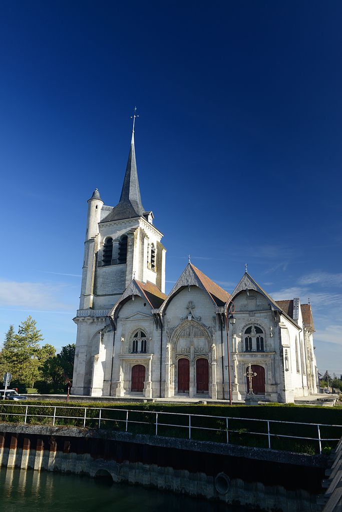

Pont-Sainte-Marie
- commune in Aube, France
- Country:
- Postal Code: 10150
- Coordinates: 48° 19' 14" N, 4° 6' 5" E
- GPS tracks (wikiloc): [Link]
- Area: 3.99 sq km
- Population: 4976

Villechétif
- commune in Aube, France
- Country:
- Postal Code: 10410
- Coordinates: 48° 18' 41" N, 4° 8' 42" E
- GPS tracks (wikiloc): [Link]
- Area: 12.24 sq km
- Population: 921


Vailly
- commune in Aube, France
- Country:
- Postal Code: 10150
- Coordinates: 48° 22' 10" N, 4° 7' 19" E
- GPS tracks (wikiloc): [Link]
- Area: 11.25 sq km
- Population: 292


Luyères
- commune in Aube, France
- Country:
- Postal Code: 10150
- Coordinates: 48° 22' 56" N, 4° 11' 42" E
- GPS tracks (wikiloc): [Link]
- AboveSeaLevel: 150 м m
- Area: 17.37 sq km
- Population: 453


Assencières
- commune in Aube, France
- Country:
- Postal Code: 10220
- Coordinates: 48° 21' 31" N, 4° 11' 56" E
- GPS tracks (wikiloc): [Link]
- Area: 7.39 sq km
- Population: 175