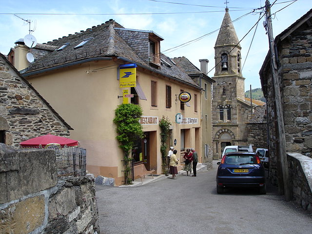
Cubiérettes (Cubiérettes)
- commune in Lozère, France
- Country:

- Postal Code: 48190
- Coordinates: 44° 27' 33" N, 3° 47' 14" E


- GPS tracks (wikiloc): [Link]
- Area: 11.34 sq km
- Population: 54
- Wikipedia en: wiki(en)
- Wikipedia: wiki(fr)
- Wikidata storage: Wikidata: Q192684
- Wikipedia Commons Category: [Link]
- Freebase ID: [/m/02z0t_8]
- Freebase ID: [/m/02z0t_8]
- GeoNames ID: Alt: [6614690]
- GeoNames ID: Alt: [6614690]
- SIREN number: [214800542]
- SIREN number: [214800542]
- BnF ID: [15261460n]
- BnF ID: [15261460n]
- INSEE municipality code: 48054
- INSEE municipality code: 48054
Shares border with regions:


Le Pont-de-Montvert
- former commune in Lozère, France
- Country:

- Postal Code: 48220
- Coordinates: 44° 21' 48" N, 3° 44' 37" E


- GPS tracks (wikiloc): [Link]
- Area: 90.25 sq km
- Population: 291


Cubières
- commune in Lozère, France
- Country:

- Postal Code: 48190
- Coordinates: 44° 28' 23" N, 3° 46' 21" E


- GPS tracks (wikiloc): [Link]
- Area: 48.88 sq km
- Population: 162
