Dammarie-sur-Loing (Dammarie-sur-Loing)

- commune in Loiret, France
- Country:

- Postal Code: 45230
- Coordinates: 47° 47' 2" N, 2° 52' 50" E


- GPS tracks (wikiloc): [Link]
- Area: 20.94 sq km
- Population: 503
- Wikipedia en: wiki(en)
- Wikipedia: wiki(fr)
- Wikidata storage: Wikidata: Q1167459
- Wikipedia Commons Category: [Link]
- Freebase ID: [/m/03nwgsd]
- GeoNames ID: Alt: [6434580]
- SIREN number: [214501215]
- BnF ID: [152605135]
- VIAF ID: Alt: [186747874]
- SUDOC authorities ID: [160827280]
- INSEE municipality code: 45121
Shares border with regions:


Rogny-les-Sept-Écluses
- commune in Yonne, France
- Country:
- Postal Code: 89220
- Coordinates: 47° 44' 46" N, 2° 53' 0" E
- GPS tracks (wikiloc): [Link]
- AboveSeaLevel: 60 м m
- Area: 32.59 sq km
- Population: 712
- Web site: [Link]

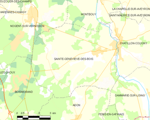
Sainte-Geneviève-des-Bois
- commune in Loiret, France
- Country:
- Postal Code: 45230
- Coordinates: 47° 49' 5" N, 2° 49' 6" E
- GPS tracks (wikiloc): [Link]
- Area: 40.74 sq km
- Population: 1083
- Web site: [Link]

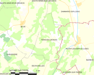
Feins-en-Gâtinais
- commune in Loiret, France
- Country:
- Postal Code: 45230
- Coordinates: 47° 44' 47" N, 2° 50' 27" E
- GPS tracks (wikiloc): [Link]
- Area: 11.89 sq km
- Population: 38


Aillant-sur-Milleron
- commune in Loiret, France
- Country:
- Postal Code: 45230
- Coordinates: 47° 47' 34" N, 2° 55' 47" E
- GPS tracks (wikiloc): [Link]
- Area: 26.93 sq km
- Population: 404
- Web site: [Link]

Châtillon-Coligny
- commune in Loiret, France
- Country:
- Postal Code: 45230
- Coordinates: 47° 49' 22" N, 2° 50' 47" E
- GPS tracks (wikiloc): [Link]
- Area: 25.53 sq km
- Population: 1911
- Web site: [Link]


Adon
- commune in Loiret, France
- Country:
- Postal Code: 45230
- Coordinates: 47° 45' 47" N, 2° 47' 45" E
- GPS tracks (wikiloc): [Link]
- Area: 24.65 sq km
- Population: 226
- Web site: [Link]