Dannelbourg (Dannelbourg)

- commune in Moselle, France
- Country:

- Postal Code: 57820
- Coordinates: 48° 44' 35" N, 7° 14' 8" E


- GPS tracks (wikiloc): [Link]
- Area: 2.95 sq km
- Population: 496
- Wikipedia en: wiki(en)
- Wikipedia: wiki(fr)
- Wikidata storage: Wikidata: Q21859
- Wikipedia Commons Category: [Link]
- Freebase ID: [/m/03qdx7q]
- Freebase ID: [/m/03qdx7q]
- GeoNames ID: Alt: [6437469]
- GeoNames ID: Alt: [6437469]
- SIREN number: [215701699]
- SIREN number: [215701699]
- BnF ID: [15265677w]
- BnF ID: [15265677w]
- VIAF ID: Alt: [245907401]
- VIAF ID: Alt: [245907401]
- INSEE municipality code: 57169
- INSEE municipality code: 57169
Shares border with regions:

Henridorff
- commune in Moselle, France
- Country:
- Postal Code: 57820
- Coordinates: 48° 44' 1" N, 7° 12' 37" E
- GPS tracks (wikiloc): [Link]
- Area: 7.31 sq km
- Population: 687


Mittelbronn
- commune in Moselle, France
- Country:
- Postal Code: 57370
- Coordinates: 48° 46' 12" N, 7° 13' 30" E
- GPS tracks (wikiloc): [Link]
- Area: 7.71 sq km
- Population: 681

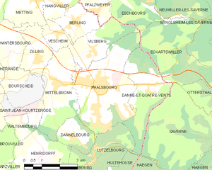
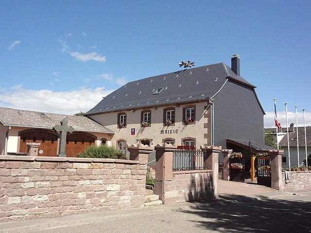
Phalsbourg
- commune in Moselle, France
- Country:
- Postal Code: 57370
- Coordinates: 48° 46' 4" N, 7° 15' 30" E
- GPS tracks (wikiloc): [Link]
- Area: 13.15 sq km
- Population: 4729
- Web site: [Link]
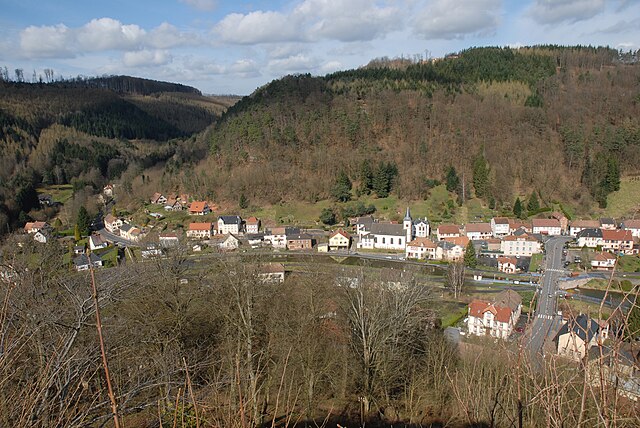

Lutzelbourg
- commune in Moselle, France
- Country:
- Postal Code: 57820
- Coordinates: 48° 44' 4" N, 7° 15' 5" E
- GPS tracks (wikiloc): [Link]
- Area: 5.84 sq km
- Population: 610