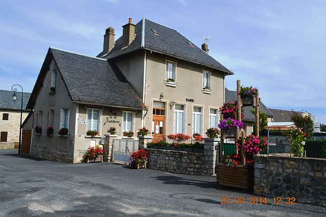
Deux-Verges (Deux-Verges)

- commune in Cantal, France
- Country:

- Postal Code: 15110
- Coordinates: 44° 48' 24" N, 3° 1' 25" E


- GPS tracks (wikiloc): [Link]
- Area: 11.2 sq km
- Population: 51
- Wikipedia en: wiki(en)
- Wikipedia: wiki(fr)
- Wikidata storage: Wikidata: Q805195
- Wikipedia Commons Category: [Link]
- Freebase ID: [/m/03mb76g]
- GeoNames ID: Alt: [6447266]
- SIREN number: [211500608]
- BnF ID: [15248230f]
- INSEE municipality code: 15060
Shares border with regions:


Saint-Rémy-de-Chaudes-Aigues
- commune in Cantal, France
- Country:
- Postal Code: 15110
- Coordinates: 44° 46' 31" N, 3° 1' 51" E
- GPS tracks (wikiloc): [Link]
- Area: 14.87 sq km
- Population: 116


Chaudes-Aigues
- commune in Cantal, France
- Country:
- Postal Code: 15110
- Coordinates: 44° 51' 16" N, 3° 0' 15" E
- GPS tracks (wikiloc): [Link]
- Area: 53.16 sq km
- Population: 891


Jabrun
- commune in Cantal, France
- Country:
- Postal Code: 15110
- Coordinates: 44° 48' 28" N, 2° 57' 40" E
- GPS tracks (wikiloc): [Link]
- Area: 34.03 sq km
- Population: 161

Anterrieux
- commune in Cantal, France
- Country:
- Postal Code: 15110
- Coordinates: 44° 50' 8" N, 3° 2' 38" E
- GPS tracks (wikiloc): [Link]
- Area: 16.16 sq km
- Population: 123