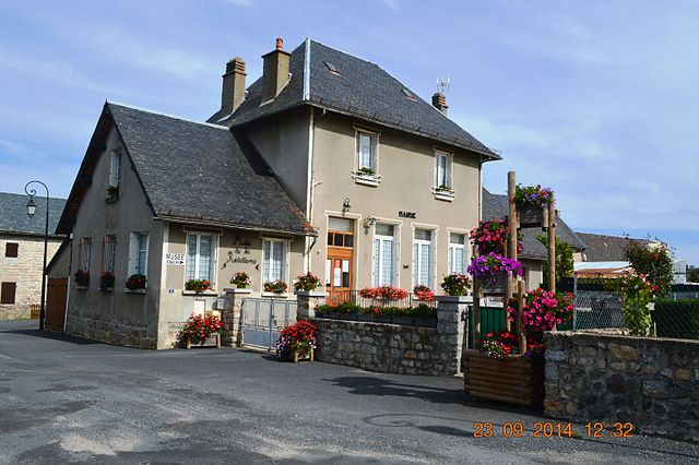
Chaudes-Aigues (Chaudes-Aigues)
- commune in Cantal, France
- Country:

- Postal Code: 15110
- Coordinates: 44° 51' 16" N, 3° 0' 15" E


- GPS tracks (wikiloc): [Link]
- Area: 53.16 sq km
- Population: 891
- Wikipedia en: wiki(en)
- Wikipedia: wiki(fr)
- Wikidata storage: Wikidata: Q269112
- Wikipedia Commons Category: [Link]
- Freebase ID: [/m/08sgky]
- GeoNames ID: Alt: [3025983]
- SIREN number: [211500459]
- BnF ID: [15248215j]
- VIAF ID: Alt: [140873041]
- Library of Congress authority ID: Alt: [n94003018]
- WOEID: [585168]
- INSEE municipality code: 15045
Shares border with regions:


Saint-Martial
- commune in Cantal, France
- Country:

- Postal Code: 15110
- Coordinates: 44° 52' 22" N, 3° 2' 43" E


- GPS tracks (wikiloc): [Link]
- Area: 14.19 sq km
- Population: 80


Neuvéglise
- former commune in Cantal, France
- Country:

- Postal Code: 15260
- Coordinates: 44° 55' 41" N, 2° 59' 0" E


- GPS tracks (wikiloc): [Link]
- Area: 54.7 sq km
- Population: 1113
- Web site: [Link]


Jabrun
- commune in Cantal, France
- Country:

- Postal Code: 15110
- Coordinates: 44° 48' 28" N, 2° 57' 40" E


- GPS tracks (wikiloc): [Link]
- Area: 34.03 sq km
- Population: 161


Anterrieux
- commune in Cantal, France
- Country:

- Postal Code: 15110
- Coordinates: 44° 50' 8" N, 3° 2' 38" E


- GPS tracks (wikiloc): [Link]
- Area: 16.16 sq km
- Population: 123
Deux-Verges
- commune in Cantal, France
- Country:

- Postal Code: 15110
- Coordinates: 44° 48' 24" N, 3° 1' 25" E


- GPS tracks (wikiloc): [Link]
- Area: 11.2 sq km
- Population: 51


Espinasse
- commune in Cantal, France
- Country:

- Postal Code: 15110
- Coordinates: 44° 52' 19" N, 2° 56' 30" E


- GPS tracks (wikiloc): [Link]
- AboveSeaLevel: 900 м m
- Area: 16.72 sq km
- Population: 78
Maurines
- commune in Cantal, France
- Country:

- Postal Code: 15110
- Coordinates: 44° 52' 14" N, 3° 5' 8" E


- GPS tracks (wikiloc): [Link]
- Area: 14.29 sq km
- Population: 109
