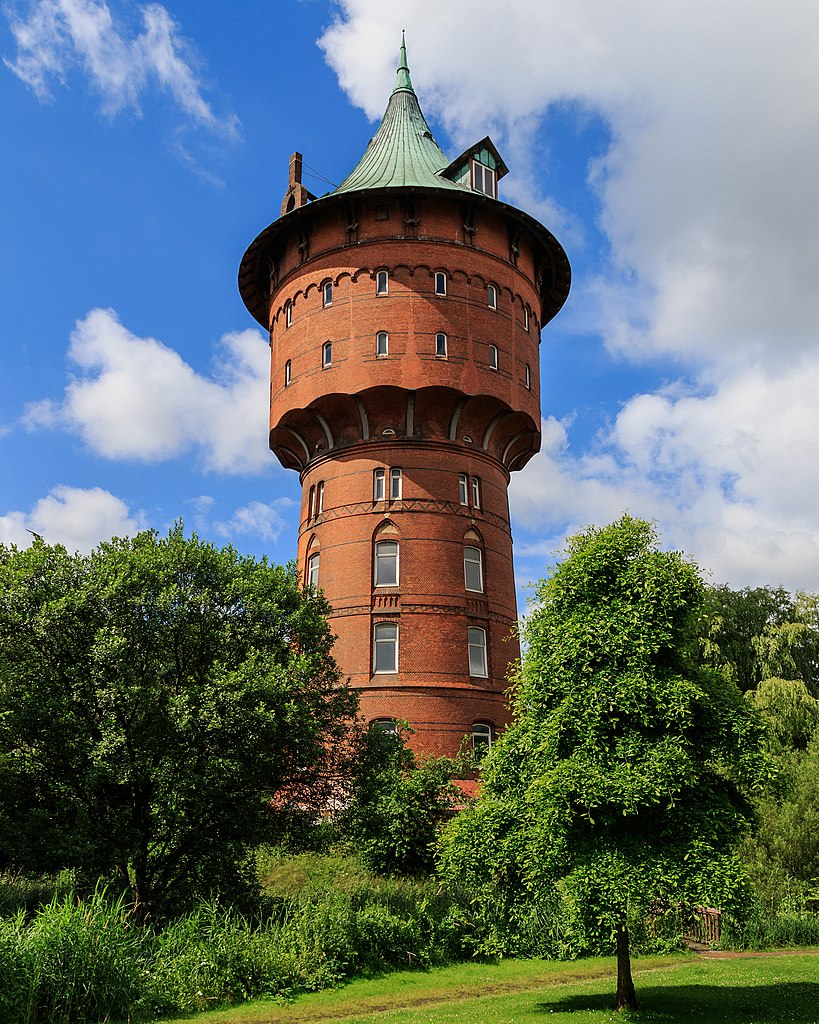
Dithmarschen (Kreis Dithmarschen)

- German district
 Hiking in Dithmarschen
Dithmarschen, located in northern Germany, is known for its unique landscapes, rich history, and diverse outdoor activities, making it a great destination for hiking enthusiasts. Here are some highlights of hiking in this region:
Scenic Landscapes
-
Coastal Trails: Dithmarschen lies along the North Sea coast, featuring beautiful coastal landscapes. The Wadden Sea National Park is a UNESCO World Heritage Site, known for its unique tidal flats, wildlife, and stunning views. Hiking along the coastal paths provides opportunities to witness the unique ecosystem and possibly spot seals.
-
Countryside Trails: Inland, you can find picturesque farmland, small villages, and charming historical sites. Many trails weave through scenic fields, meadows, and forests, offering a peaceful hiking experience.
Hiking Recommendations
-
Wadden Sea Trails: Explore the various walking routes available in the Wadden Sea area. The paths allow for different lengths and difficulties, catering to both casual walkers and serious hikers.
-
Dithmarscher Erde (Dithmarschen Soil): This region has numerous marked hiking trails (Wanderwege), including circular routes that are often well-maintained and easy to navigate.
-
Parks and Nature Reserves: The region boasts several parks and nature reserves where you can enjoy hiking. The landscape includes heathlands, forests, and wetlands, creating diverse environments to explore.
Preparation
-
Trail Maps: It's advisable to obtain detailed maps of the hiking trails in Dithmarschen, which can usually be found online or at local tourism offices.
-
Weather Considerations: The coastal weather can be unpredictable, often changing rapidly. Always check the forecast and dress in layers, bringing waterproof gear if necessary.
-
Wildlife Awareness: While hiking, keep an eye out for the unique flora and fauna, especially in protected areas like the Wadden Sea. Respect wildlife and stay on designated paths.
Best Times to Hike
The ideal times for hiking in Dithmarschen are during the late spring (May-June) and early autumn (September-October) when the weather is usually mild, and the landscapes are vibrant.
Local Culture and Amenities
Enjoy the local culture by visiting small towns in Dithmarschen, such as Heide and Büsum, where you can find local delicacies, restaurants, and accommodations. Don’t miss out on the regional seafood, particularly the fresh catches from the North Sea.
Overall, Dithmarschen offers a variety of hiking experiences suitable for all levels, from coastal paths with breathtaking ocean views to serene countryside trails. Happy hiking!
- Country:

- Capital: Heide
- Licence Plate Code: HEI
- Coordinates: 54° 4' 48" N, 9° 4' 48" E


- GPS tracks (wikiloc): [Link]
- Web site: http://www.dithmarschen.de
- Wikipedia en: wiki(en)
- Wikipedia: wiki(de)
- Wikidata storage: Wikidata: Q2947
- Wikipedia Commons Gallery: [Link]
- Wikipedia Commons Category: [Link]
- Wikipedia Commons Maps Category: [Link]
- Freebase ID: [/m/0mmln]
- GeoNames ID: Alt: [3249069]
- VIAF ID: Alt: [162491602]
- OSM relation ID: [62576]
- GND ID: Alt: [4012525-7]
- archINFORM location ID: [5820]
- TGN ID: [7076955]
- NUTS code: [DEF05]
- German district key: 01051
Includes regions:
Burg-Sankt Michaelisdonn
Hiking in Burg-Sankt Michaelisdonn
Burg-Sankt Michaelisdonn, located in the northern part of Germany, is a charming village that offers a serene rural setting for hiking enthusiasts. While it may not be the most famous hiking destination, it provides several scenic trails and opportunities to explore the natural beauty of the surrounding area....
Büsum-Wesselburen
- Amt in Dithmarschen, Germany
Hiking in Büsum-Wesselburen
Büsum-Wesselburen is a beautiful area located on the North Sea coast of Germany, known for its scenic landscapes and pleasant hiking opportunities. Here are some highlights for hiking in this region:...
Heider Umland
Hiking in Heider Umland
Heider Umland, located in northern Germany, is a beautiful area that features a variety of landscapes ideal for hiking. The region is characterized by scenic views, rolling hills, woodlands, and farmland, making it perfect for outdoor enthusiasts who appreciate nature and tranquility....
Eider (collective municipality)
- collective municipality of Eider
Hiking in Eider (collective municipality)
Eider, located in Amt Kirchspielslandgemeinde in Germany, is not one of the most commonly known hiking destinations, but it does offer some delightful experiences for outdoor enthusiasts, particularly those who enjoy flat landscapes and serene natural settings....
Marne-Nordsee (collective municipality)
Hiking in Marne-Nordsee (collective municipality)
Hiking in the Marne-Nordsee region in Germany offers a unique blend of picturesque landscapes, cultural experiences, and outdoor adventures. This area, located between the River Elbe and the North Sea, is characterized by its diverse ecosystems, including marshlands, forests, and scenic riverbanks....
Mitteldithmarschen
- amt
Hiking in Mitteldithmarschen
Mitteldithmarschen, located in the northern part of Germany, offers a unique hiking experience characterized by its gentle rolling hills, lush farmlands, and scenic landscapes. Here are some key points about hiking in the region:...


Heide
- town in Schleswig-Holstein
Hiking in Heide
Hiking in Heide, a town located in the state of Schleswig-Holstein, Germany, offers a delightful mix of scenic landscapes and cultural experiences. While Heide itself is primarily known for its traditional charm and local markets, there are various hiking opportunities in and around the area that can satisfy both novice and experienced hikers....
- Country:
- Postal Code: 25746
- Local Dialing Code: 0481
- Licence Plate Code: MED; HEI
- Coordinates: 54° 11' 46" N, 9° 5' 36" E
- GPS tracks (wikiloc): [Link]
- AboveSeaLevel: 11 м m
- Area: 31.97 sq km
- Population: 21573
- Web site: [Link]


Brunsbüttel
- municipality of Germany
Hiking in Brunsbüttel
Brunsbüttel, located in the Schleswig-Holstein region of Germany, is known for its scenic views and proximity to the Elbe River. While it may not be as renowned for hiking as some mountain regions, there are certainly opportunities for outdoor enthusiasts to enjoy the natural beauty of the area. Here are some aspects to consider for hiking in and around Brunsbüttel:...
- Country:
- Postal Code: 25541
- Local Dialing Code: 04855; 04852; 04851
- Licence Plate Code: HEI
- Coordinates: 53° 53' 47" N, 9° 8' 19" E
- GPS tracks (wikiloc): [Link]
- AboveSeaLevel: 4 м m
- Area: 65.21 sq km
- Population: 12644
- Web site: [Link]
Shares border with regions:


Nordfriesland
- German district
Hiking in Nordfriesland
Nordfriesland, located in the northernmost part of Germany, is a picturesque region known for its stunning landscapes, unique geography, and rich cultural history. While it is not traditionally viewed as a hiking hotspot, the region offers several fantastic opportunities for hikers who want to explore its natural beauty....
- Country:
- Licence Plate Code: NF
- Coordinates: 54° 34' 48" N, 9° 0' 0" E
- GPS tracks (wikiloc): [Link]
- Area: 2083.3 sq km
- Population: 163960
- Web site: [Link]
Schleswig-Flensburg
- district of Germany
Hiking in Schleswig-Flensburg
Schleswig-Flensburg is a beautiful region located in northern Germany, known for its stunning landscapes, rich history, and a diversity of hiking opportunities. Here are some key highlights for hiking in this area:...
- Country:
- Licence Plate Code: SL
- Coordinates: 54° 40' 12" N, 9° 34' 48" E
- GPS tracks (wikiloc): [Link]
- AboveSeaLevel: 24 м m
- Web site: [Link]
Rendsburg-Eckernförde
- German district
Hiking in Rendsburg-Eckernförde
Rendsburg-Eckernförde is a beautiful district located in Schleswig-Holstein, Germany. It offers a diverse range of hiking opportunities, ideal for both novice and experienced hikers. Here are some highlights and tips for hiking in this region:...
- Country:
- Licence Plate Code: RD
- Coordinates: 54° 15' 0" N, 9° 45' 0" E
- GPS tracks (wikiloc): [Link]
- AboveSeaLevel: 9 м m
- Web site: [Link]
Steinburg
- German district
Hiking in Steinburg
Steinburg, located in Schleswig-Holstein, Germany, offers some beautiful hiking opportunities for outdoor enthusiasts. The region is characterized by its picturesque landscapes, which include forests, rolling hills, rivers, and charming villages. Here are some key highlights about hiking in Steinburg:...
- Country:
- Licence Plate Code: IZ
- Coordinates: 53° 55' 12" N, 9° 30' 0" E
- GPS tracks (wikiloc): [Link]
- AboveSeaLevel: 15 м m
- Web site: [Link]

Cuxhaven
- German district of Lower Saxony
Hiking in Cuxhaven
Cuxhaven, located in Lower Saxony, Germany, offers a unique hiking experience with its combination of coastal landscapes, nature reserves, and historical sites. Here are some highlights of hiking in the Cuxhaven district:...
- Country:
- Capital: Cuxhaven
- Licence Plate Code: CUX
- Coordinates: 53° 40' 12" N, 8° 49' 48" E
- GPS tracks (wikiloc): [Link]
- AboveSeaLevel: 5 м m
- Area: 2057.78 sq km
- Population: 198670
- Web site: [Link]


Stade
- German district of Lower Saxony
Hiking in Stade
Stade, located in Lower Saxony, Germany, offers a range of hiking opportunities that allow you to explore its picturesque natural landscapes, historical sites, and charming small towns. Here are some highlights for hiking in the Stade district:...
- Country:
- Licence Plate Code: STD
- Coordinates: 53° 34' 48" N, 9° 25' 12" E
- GPS tracks (wikiloc): [Link]
- AboveSeaLevel: 1 м m
- Area: 1266.00 sq km
- Population: 201638
- Web site: [Link]