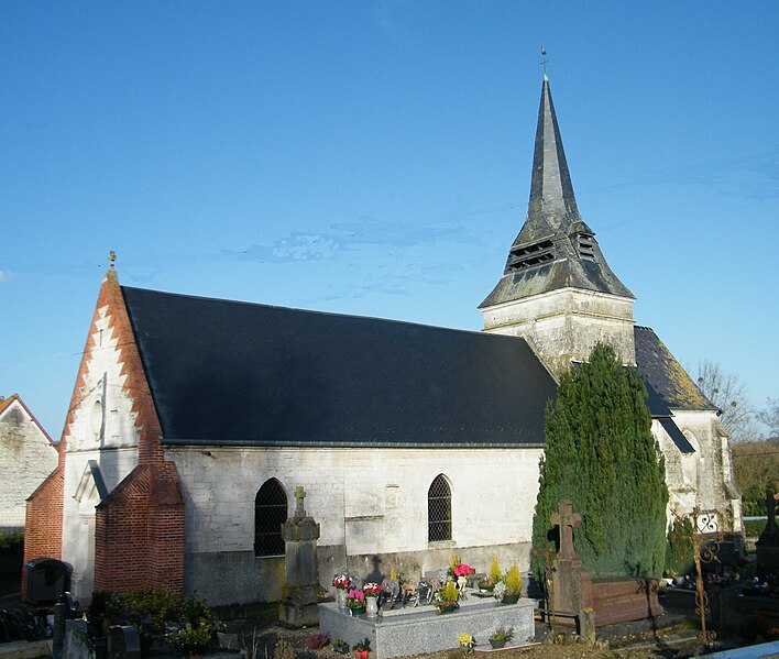
Dominois (Dominois)

- commune in Somme, France
- Country:

- Postal Code: 80120
- Coordinates: 50° 19' 53" N, 1° 51' 9" E


- GPS tracks (wikiloc): [Link]
- Area: 6.15 sq km
- Population: 181
- Wikipedia en: wiki(en)
- Wikipedia: wiki(fr)
- Wikidata storage: Wikidata: Q69026
- Wikipedia Commons Category: [Link]
- Freebase ID: [/m/03nnqdz]
- GeoNames ID: Alt: [6444389]
- SIREN number: [218002368]
- BnF ID: [152767272]
- OSM relation ID: [1378841]
- INSEE municipality code: 80244
Shares border with regions:


Argoules
- commune in Somme, France
- Country:
- Postal Code: 80120
- Coordinates: 50° 20' 34" N, 1° 49' 58" E
- GPS tracks (wikiloc): [Link]
- Area: 9.45 sq km
- Population: 324

Ponches-Estruval
- commune in Somme, France
- Country:
- Postal Code: 80150
- Coordinates: 50° 18' 34" N, 1° 53' 42" E
- GPS tracks (wikiloc): [Link]
- Area: 7.04 sq km
- Population: 111

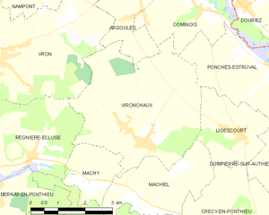
Vironchaux
- commune in Somme, France
- Country:
- Postal Code: 80150
- Coordinates: 50° 17' 20" N, 1° 49' 19" E
- GPS tracks (wikiloc): [Link]
- Area: 16.14 sq km
- Population: 478

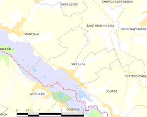
Saulchoy
- commune in Pas-de-Calais, France
- Country:
- Postal Code: 62870
- Coordinates: 50° 20' 57" N, 1° 50' 59" E
- GPS tracks (wikiloc): [Link]
- Area: 5.29 sq km
- Population: 313
- Web site: [Link]


Douriez
- commune in Pas-de-Calais, France
- Country:
- Postal Code: 62870
- Coordinates: 50° 19' 56" N, 1° 52' 39" E
- GPS tracks (wikiloc): [Link]
- Area: 8.84 sq km
- Population: 335