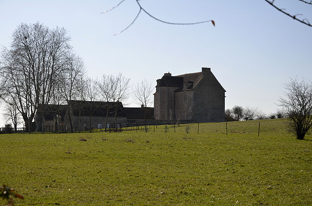
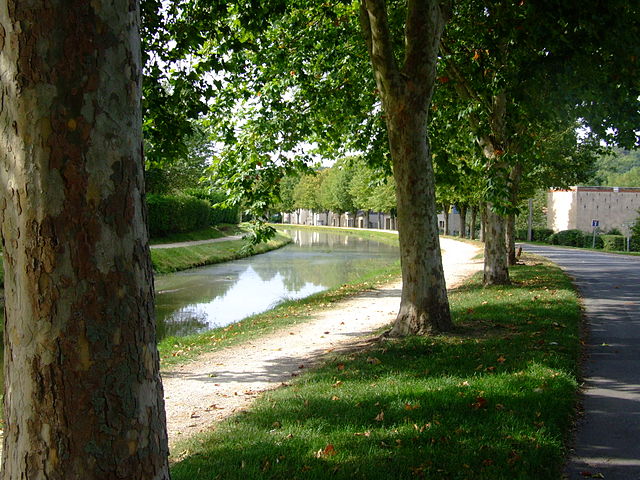
Drevant (Drevant)

- commune in Cher, France
- Country:

- Postal Code: 18200
- Coordinates: 46° 41' 37" N, 2° 31' 30" E


- GPS tracks (wikiloc): [Link]
- Area: 4.84 sq km
- Population: 563
- Wikipedia en: wiki(en)
- Wikipedia: wiki(fr)
- Wikidata storage: Wikidata: Q1173534
- Wikipedia Commons Category: [Link]
- Freebase ID: [/m/03mfcqm]
- GeoNames ID: Alt: [6447475]
- SIREN number: [211800867]
- BnF ID: [15249432x]
- Digital Atlas of the Roman Empire ID: [20173]
- INSEE municipality code: 18086
Shares border with regions:

Colombiers
- commune in Cher, France
- Country:
- Postal Code: 18200
- Coordinates: 46° 42' 3" N, 2° 32' 24" E
- GPS tracks (wikiloc): [Link]
- Area: 9.51 sq km
- Population: 405


Saint-Georges-de-Poisieux
- commune in Cher, France
- Country:
- Postal Code: 18200
- Coordinates: 46° 40' 43" N, 2° 29' 31" E
- GPS tracks (wikiloc): [Link]
- Area: 15.61 sq km
- Population: 455


Ainay-le-Vieil
- commune in Cher, France
- Country:
- Postal Code: 18200
- Coordinates: 46° 40' 1" N, 2° 33' 7" E
- GPS tracks (wikiloc): [Link]
- Area: 13.77 sq km
- Population: 187

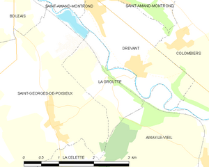
La Groutte
- commune in Cher, France
- Country:
- Postal Code: 18200
- Coordinates: 46° 41' 12" N, 2° 30' 38" E
- GPS tracks (wikiloc): [Link]
- Area: 2.92 sq km
- Population: 130

Saint-Amand-Montrond
- commune in Cher, France
- Country:
- Postal Code: 18200
- Coordinates: 46° 43' 22" N, 2° 30' 18" E
- GPS tracks (wikiloc): [Link]
- Area: 20.17 sq km
- Population: 9919
- Web site: [Link]