arrondissement of Saint-Amand-Montrond (arrondissement de Saint-Amand-Montrond)

- arrondissement of France
- Country:

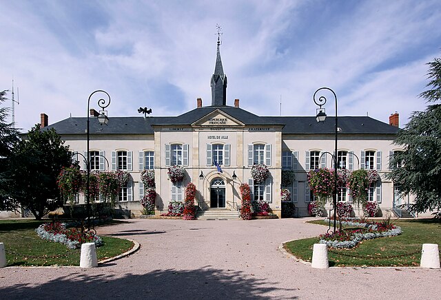
- Capital: Saint-Amand-Montrond
- Coordinates: 46° 45' 0" N, 2° 30' 0" E


- GPS tracks (wikiloc): [Link]
- Area: 2670 sq km
- Population: 64490
- Wikipedia en: wiki(en)
- Wikipedia: wiki(fr)
- Wikidata storage: Wikidata: Q165750
- Freebase ID: [/m/0954_b]
- GeoNames ID: Alt: [2981836]
- INSEE arrondissement code: [182]
Includes regions:


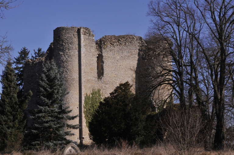
canton of Le Châtelet
- canton of France (until March 2015)
- Country:
- Capital: Le Châtelet
- Coordinates: 46° 38' 33" N, 2° 17' 2" E
- GPS tracks (wikiloc): [Link]

canton of Saulzais-le-Potier
- canton of France
- Country:
- Capital: Saulzais-le-Potier
- Coordinates: 46° 35' 59" N, 2° 29' 48" E
- GPS tracks (wikiloc): [Link]


canton of Châteaumeillant
- canton of France
- Country:
- Capital: Châteaumeillant
- Coordinates: 46° 33' 46" N, 2° 12' 5" E
- GPS tracks (wikiloc): [Link]
- Population: 15119

canton of Châteauneuf-sur-Cher
- canton of France
- Country:
- Capital: Châteauneuf-sur-Cher
- Coordinates: 46° 51' 30" N, 2° 19' 2" E
- GPS tracks (wikiloc): [Link]

canton of Dun-sur-Auron
- canton of France
- Country:
- Capital: Dun-sur-Auron
- Coordinates: 46° 53' 8" N, 2° 34' 21" E
- GPS tracks (wikiloc): [Link]
- Population: 15649


canton of La Guerche-sur-l'Aubois
- canton of France
- Country:
- Capital: La Guerche-sur-l'Aubois
- Coordinates: 46° 57' 7" N, 2° 56' 54" E
- GPS tracks (wikiloc): [Link]
- Population: 13385


canton of Charenton-du-Cher
- canton of France (until March 2015)
- Country:
- Capital: Charenton-du-Cher
- Coordinates: 46° 43' 50" N, 2° 39' 11" E
- GPS tracks (wikiloc): [Link]

canton of Saint-Amand-Montrond
- canton of France
- Country:
- Capital: Saint-Amand-Montrond
- Coordinates: 46° 43' 25" N, 2° 30' 20" E
- GPS tracks (wikiloc): [Link]
- Population: 15770
Shares border with regions:


arrondissement of Nevers
- arrondissement of France
- Country:
- Capital: Nevers
- Coordinates: 46° 55' 0" N, 3° 20' 0" E
- GPS tracks (wikiloc): [Link]
- Area: 2020 sq km
- Population: 117173