Entre-Deux (Entre-Deux)

- commune in La Réunion, France
- Country:

- Postal Code: 97414
- Coordinates: 21° 14' 56" S, 55° 28' 13" W


- GPS tracks (wikiloc): [Link]
- Area: 66.83 sq km
- Population: 6781
- Web site: http://www.village-entredeux.fr
- Wikipedia en: wiki(en)
- Wikipedia: wiki(fr)
- Wikidata storage: Wikidata: Q1014800
- Wikipedia Commons Category: [Link]
- Freebase ID: [/m/027mndt]
- SIREN number: [219740032]
- INSEE municipality code: 97403
Shares border with regions:

Cilaos
- commune in La Réunion, France
- Country:
- Postal Code: 97413
- Coordinates: 21° 8' 7" S, 55° 28' 16" W
- GPS tracks (wikiloc): [Link]
- Area: 84.4 sq km
- Population: 5350
- Web site: [Link]

Le Tampon
- commune in La Réunion, France
- Country:
- Postal Code: 97430
- Coordinates: 21° 16' 41" S, 55° 30' 55" W
- GPS tracks (wikiloc): [Link]
- Area: 165.43 sq km
- Population: 76310
- Web site: [Link]

Saint-Louis
- commune in La Réunion, France
- Country:
- Postal Code: 97450
- Coordinates: 21° 17' 12" S, 55° 24' 33" W
- GPS tracks (wikiloc): [Link]
- Area: 98.9 sq km
- Population: 53524
- Web site: [Link]
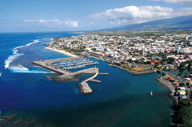

Saint-Pierre
- commune in La Réunion, France
- Country:
- Postal Code: 97410
- Coordinates: 21° 20' 31" S, 55° 28' 40" W
- GPS tracks (wikiloc): [Link]
- Area: 95.99 sq km
- Population: 84063
- Web site: [Link]

Saint-Benoît
- commune in La Réunion, France
- Country:
- Postal Code: 97470
- Coordinates: 21° 2' 2" S, 55° 42' 46" W
- GPS tracks (wikiloc): [Link]
- AboveSeaLevel: 0 м m
- Area: 229.61 sq km
- Population: 37940
- Web site: [Link]