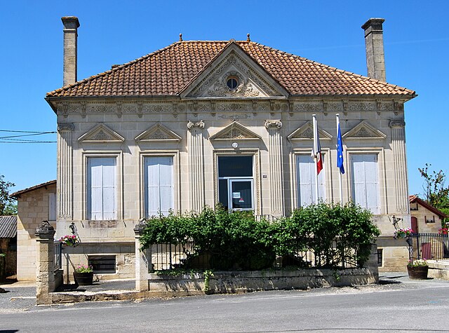
Espiet (Espiet)

- commune in Gironde, France
- Country:

- Postal Code: 33420
- Coordinates: 44° 47' 59" N, 0° 15' 44" E


- GPS tracks (wikiloc): [Link]
- Area: 6.79 sq km
- Population: 766
- Web site: http://www.espiet.fr
- Wikipedia en: wiki(en)
- Wikipedia: wiki(fr)
- Wikidata storage: Wikidata: Q722258
- Wikipedia Commons Category: [Link]
- Freebase ID: [/m/03nrz4n]
- GeoNames ID: Alt: [6432217]
- SIREN number: [213301575]
- BnF ID: [15256209b]
- PACTOLS thesaurus ID: [pcrtRK6oz7DHwJ]
- INSEE municipality code: 33157
Shares border with regions:


Daignac
- commune in Gironde, France
- Country:
- Postal Code: 33420
- Coordinates: 44° 47' 58" N, 0° 14' 58" E
- GPS tracks (wikiloc): [Link]
- Area: 5.73 sq km
- Population: 481
- Web site: [Link]


Saint-Léon
- commune in Gironde, France
- Country:
- Postal Code: 33670
- Coordinates: 44° 46' 7" N, 0° 16' 21" E
- GPS tracks (wikiloc): [Link]
- Area: 4.49 sq km
- Population: 342
- Web site: [Link]


Camiac-et-Saint-Denis
- commune in Gironde, France
- Country:
- Postal Code: 33420
- Coordinates: 44° 47' 42" N, 0° 16' 29" E
- GPS tracks (wikiloc): [Link]
- Area: 6.6 sq km
- Population: 359


Blésignac
- commune in Gironde, France
- Country:
- Postal Code: 33670
- Coordinates: 44° 46' 31" N, 0° 15' 29" E
- GPS tracks (wikiloc): [Link]
- Area: 2.5 sq km
- Population: 316
- Web site: [Link]


Tizac-de-Curton
- commune in Gironde, France
- Country:
- Postal Code: 33420
- Coordinates: 44° 49' 16" N, 0° 15' 2" E
- GPS tracks (wikiloc): [Link]
- Area: 3.97 sq km
- Population: 313


La Sauve
- commune in Gironde, France
- Country:
- Postal Code: 33670
- Coordinates: 44° 46' 10" N, 0° 18' 43" E
- GPS tracks (wikiloc): [Link]
- AboveSeaLevel: 81 м m
- Area: 18.64 sq km
- Population: 1437
- Web site: [Link]

Saint-Quentin-de-Baron
- commune in Gironde, France
- Country:
- Postal Code: 33750
- Coordinates: 44° 49' 4" N, 0° 17' 13" E
- GPS tracks (wikiloc): [Link]
- Area: 8.69 sq km
- Population: 2340
- Web site: [Link]