Fay (Fay)

- commune in Sarthe, France
- Country:

- Postal Code: 72550
- Coordinates: 48° 0' 29" N, 0° 4' 14" E


- GPS tracks (wikiloc): [Link]
- Area: 9.48 sq km
- Population: 617
- Web site: http://commune-fay.fr/
- Wikipedia en: wiki(en)
- Wikipedia: wiki(fr)
- Wikidata storage: Wikidata: Q1226549
- Wikipedia Commons Category: [Link]
- Freebase ID: [/m/03qk2dl]
- GeoNames ID: Alt: [6617558]
- SIREN number: [217201300]
- BnF ID: [15273686k]
- INSEE municipality code: 72130
Shares border with regions:

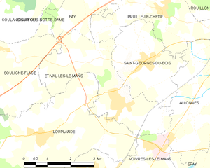
Étival-lès-le-Mans
- commune in Sarthe, France
- Country:
- Postal Code: 72700
- Coordinates: 47° 57' 23" N, 0° 5' 22" E
- GPS tracks (wikiloc): [Link]
- Area: 10.34 sq km
- Population: 1953
- Web site: [Link]


Trangé
- commune in Sarthe, France
- Country:
- Postal Code: 72650
- Coordinates: 48° 1' 36" N, 0° 6' 40" E
- GPS tracks (wikiloc): [Link]
- Area: 11.11 sq km
- Population: 1356


Souligné-Flacé
- commune in Sarthe, France
- Country:
- Postal Code: 72210
- Coordinates: 47° 58' 27" N, 0° 0' 54" E
- GPS tracks (wikiloc): [Link]
- Area: 16.49 sq km
- Population: 692


Pruillé-le-Chétif
- commune in Sarthe, France
- Country:
- Postal Code: 72700
- Coordinates: 47° 59' 34" N, 0° 6' 31" E
- GPS tracks (wikiloc): [Link]
- Area: 10.3 sq km
- Population: 1322
- Web site: [Link]


Chaufour-Notre-Dame
- commune in Sarthe, France
- Country:
- Postal Code: 72550
- Coordinates: 48° 1' 31" N, 0° 4' 30" E
- GPS tracks (wikiloc): [Link]
- Area: 11.19 sq km
- Population: 1059