Ferrières-lès-Ray (Ferrières-lès-Ray)

- commune in Haute-Saône, France
- Country:

- Postal Code: 70130
- Coordinates: 47° 34' 49" N, 5° 48' 13" E


- GPS tracks (wikiloc): [Link]
- Area: 4 sq km
- Population: 35
- Wikipedia en: wiki(en)
- Wikipedia: wiki(fr)
- Wikidata storage: Wikidata: Q903927
- Wikipedia Commons Category: [Link]
- Freebase ID: [/m/03nvtfw]
- GeoNames ID: Alt: [6441936]
- SIREN number: [217002310]
- INSEE municipality code: 70231
Shares border with regions:
Recologne
- commune in Haute-Saône, France
- Country:
- Postal Code: 70130
- Coordinates: 47° 34' 56" N, 5° 46' 35" E
- GPS tracks (wikiloc): [Link]
- Area: 1.15 sq km
- Population: 30
Tincey-et-Pontrebeau
- commune in Haute-Saône, France
- Country:
- Postal Code: 70120
- Coordinates: 47° 36' 24" N, 5° 47' 34" E
- GPS tracks (wikiloc): [Link]
- Area: 6.95 sq km
- Population: 85
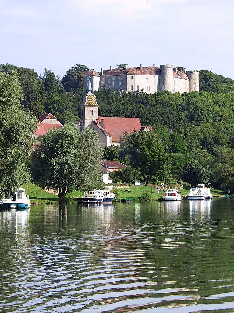

Ray-sur-Saône
- commune in Haute-Saône, France
- Country:
- Postal Code: 70130
- Coordinates: 47° 35' 10" N, 5° 49' 38" E
- GPS tracks (wikiloc): [Link]
- Area: 7.88 sq km
- Population: 207


Vellexon-Queutrey-et-Vaudey
- commune in Haute-Saône, France
- Country:
- Postal Code: 70130
- Coordinates: 47° 33' 45" N, 5° 48' 19" E
- GPS tracks (wikiloc): [Link]
- AboveSeaLevel: 205 м m
- Area: 24.98 sq km
- Population: 473