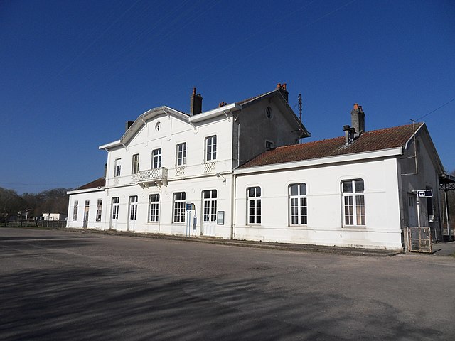
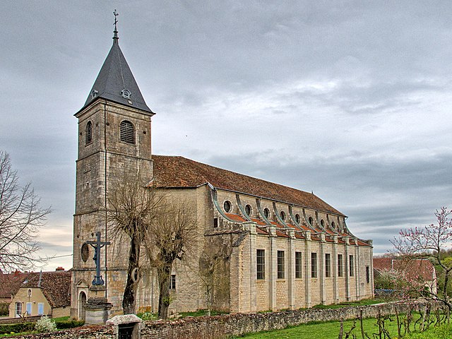
arrondissement of Vesoul (arrondissement de Vesoul)
- arrondissement of France
 Hiking in arrondissement of Vesoul
The Arrondissement of Vesoul is a beautiful region located in the Haute-Saône department in the Bourgogne-Franche-Comté region of eastern France. It's characterized by a stunning landscape of rolling hills, forests, and charming villages, making it an appealing destination for hiking enthusiasts. Here are some key highlights for hiking in this area:
1. Scenic Trails
- Les Ballons des Vosges Regional Nature Park: While not entirely within the Arrondissement of Vesoul, this park’s proximity offers access to many trails with breathtaking views, diverse flora and fauna, and a mix of challenging and easier hikes.
- Sentier de la Vallée du Scey: This trail follows the Scey River and is great for a leisurely hike while enjoying nature and spotting local wildlife.
2. Natural Attractions
- The Plateau des Mille Étangs: Known for its many small lakes and wetlands, this area offers serene hiking paths where you can experience beautiful landscapes and observe seasonal wildlife.
- Mont Henri: This peak provides a fantastic panoramic view of the surrounding countryside and is a rewarding option for hikers looking for a bit of elevation.
3. Charming Villages
- Explore picturesque villages such as Gray and Vesoul, which have historical significance and beautiful architecture. Many hiking trails connect these towns, allowing you to experience local culture alongside nature.
4. Regional Cuisine
After a day of hiking, treat yourself to local specialties at nearby restaurants. The region is known for its cheese, sausages, and regional wines. Don’t miss trying Comté cheese!
5. Best Time to Hike
The best seasons for hiking in the Arrondissement of Vesoul are spring and early fall when the weather is mild, and the scenery is vibrant with blooming flowers and autumn colors.
6. Safety Considerations
- Always check the weather before heading out, as conditions can change rapidly in the countryside.
- Ensure you have adequate supplies, including water, snacks, and a first-aid kit.
- It’s advisable to let someone know your hiking plan and expected return time.
Whether you’re a seasoned hiker or a beginner, the Arrondissement of Vesoul has trails to suit all levels. Take your time to explore the natural beauty and enjoy the tranquility this region offers!
- Country:

- Capital: Vesoul
- Coordinates: 47° 35' 0" N, 5° 50' 0" E


- GPS tracks (wikiloc): [Link]
- Area: 35120 sq km
- Population: 127980
- Wikipedia en: wiki(en)
- Wikipedia: wiki(fr)
- Wikidata storage: Wikidata: Q702750
- Freebase ID: [/m/095bsh]
- GeoNames ID: Alt: [2969561]
- INSEE arrondissement code: [702]
- GNS Unique Feature ID: -1475929
Includes regions:
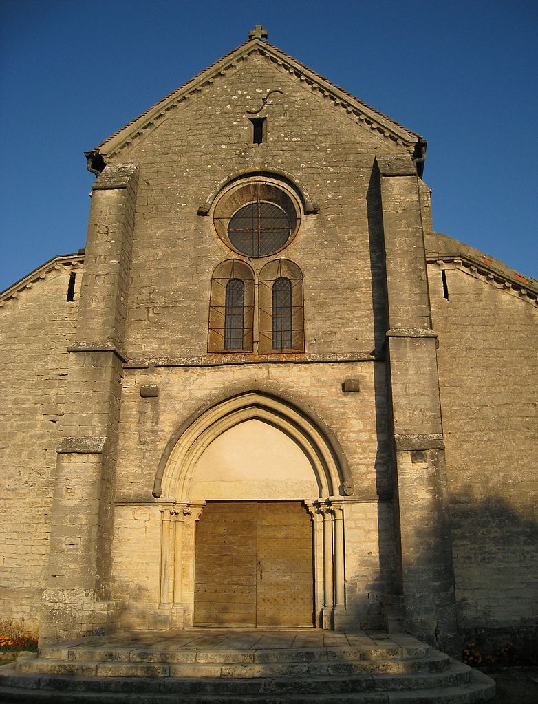
canton of Autrey-lès-Gray
- canton of France (until March 2015)
 Hiking in canton of Autrey-lès-Gray
Canton d'Autrey-lès-Gray, located in the Haute-Saône department in the Bourgogne-Franche-Comté region of eastern France, offers a lovely backdrop for hiking enthusiasts. This area is characterized by rolling hills, forests, and charming villages which provide a serene and picturesque environment perfect for outdoor activities....
- Country:

- Capital: Autrey-lès-Gray
- Coordinates: 47° 29' 14" N, 6° 29' 30" E


- GPS tracks (wikiloc): [Link]

canton of Montbozon
- canton of France (until March 2015)
Canton de Montbozon is a picturesque region located in the Doubs department in the Bourgogne-Franche-Comté region of eastern France. The area is known for its beautiful natural landscapes, rolling hills, rivers, and forests, making it an excellent destination for hiking enthusiasts....

canton of Champlitte
- Canton of France
- Country:

- Capital: Champlitte
- Coordinates: 47° 37' 1" N, 5° 30' 53" E


- GPS tracks (wikiloc): [Link]


canton of Gray
- canton of France
- Country:

- Coordinates: 47° 26' 42" N, 5° 35' 32" E


- GPS tracks (wikiloc): [Link]
- Population: 14123

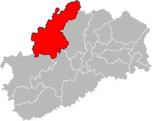
canton of Jussey
- canton of France
- Country:

- Capital: Jussey
- Coordinates: 47° 49' 35" N, 5° 54' 5" E


- GPS tracks (wikiloc): [Link]
- Population: 12185
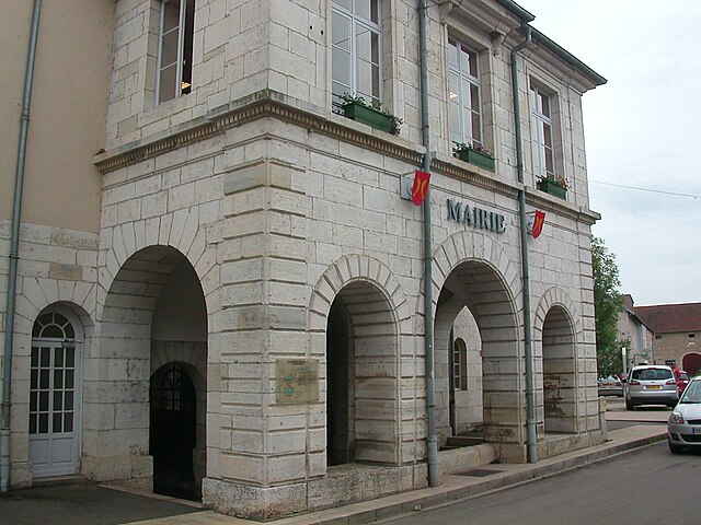

canton of Dampierre-sur-Salon
- canton of France
- Country:

- Capital: Dampierre-sur-Salon
- Coordinates: 47° 33' 28" N, 5° 40' 51" E


- GPS tracks (wikiloc): [Link]
- Population: 11106


canton of Marnay
- canton of France
The Canton of Marnay, located in the Haute-Saône department in the Bourgogne-Franche-Comté region of France, offers a range of beautiful landscapes and trails suitable for hiking enthusiasts. Here are some highlights and tips for hiking in this area:...
- Country:

- Capital: Marnay
- Coordinates: 47° 17' 26" N, 5° 46' 20" E


- GPS tracks (wikiloc): [Link]
- Population: 15145

canton of Combeaufontaine
- canton of France (until March 2015)
- Country:

- Capital: Combeaufontaine
- Coordinates: 47° 42' 39" N, 5° 53' 31" E


- GPS tracks (wikiloc): [Link]

canton of Noroy-le-Bourg
- canton of France
- Country:

- Capital: Noroy-le-Bourg
- Coordinates: 47° 36' 56" N, 6° 18' 22" E


- GPS tracks (wikiloc): [Link]


canton of Port-sur-Saône
- canton of France
- Country:

- Capital: Port-sur-Saône
- Coordinates: 47° 41' 21" N, 6° 2' 43" E


- GPS tracks (wikiloc): [Link]
- Population: 14550
canton of Vitrey-sur-Mance
- canton of France
- Country:

- Capital: Vitrey-sur-Mance
- Coordinates: 47° 48' 54" N, 5° 45' 43" E


- GPS tracks (wikiloc): [Link]


canton of Rioz
- canton of France
The Canton of Rioz, located in the region of Bourgogne-Franche-Comté in eastern France, offers a variety of scenic landscapes and hiking opportunities. Nestled between the Jura Mountains and the Vosges, this area is characterized by rolling hills, forests, rivers, and charming villages, making it an inviting destination for outdoor enthusiasts....
- Country:

- Capital: Rioz
- Coordinates: 47° 25' 28" N, 6° 4' 15" E


- GPS tracks (wikiloc): [Link]
- Population: 16004

canton of Fresne-Saint-Mamès
- canton of France (until March 2015)
- Country:

- Capital: Fresne-Saint-Mamès
- Coordinates: 47° 32' 55" N, 5° 51' 42" E


- GPS tracks (wikiloc): [Link]


canton of Scey-sur-Saône-et-Saint-Albin
- canton of France
- Country:

- Capital: Scey-sur-Saône-et-Saint-Albin
- Coordinates: 47° 39' 57" N, 5° 58' 19" E


- GPS tracks (wikiloc): [Link]
- Population: 12436

