Feurs (Feurs)

- commune in Loire, France
- Country:

- Postal Code: 42110
- Coordinates: 45° 44' 27" N, 4° 13' 33" E


- GPS tracks (wikiloc): [Link]
- AboveSeaLevel: 366 м m
- Area: 24.39 sq km
- Population: 8056
- Web site: http://www.feurs.org
- Wikipedia en: wiki(en)
- Wikipedia: wiki(fr)
- Wikidata storage: Wikidata: Q504919
- Wikipedia Commons Category: [Link]
- Freebase ID: [/m/08z4x8]
- Freebase ID: [/m/08z4x8]
- GeoNames ID: Alt: [6455106]
- GeoNames ID: Alt: [6455106]
- SIREN number: [214200941]
- SIREN number: [214200941]
- BnF ID: [15259663z]
- BnF ID: [15259663z]
- VIAF ID: Alt: [236454931]
- VIAF ID: Alt: [236454931]
- archINFORM location ID: [6865]
- archINFORM location ID: [6865]
- PACTOLS thesaurus ID: [pcrtoMs0BK4poT]
- PACTOLS thesaurus ID: [pcrtoMs0BK4poT]
- Encyclopædia Britannica Online ID: [place/Feurs]
- Encyclopædia Britannica Online ID: [place/Feurs]
- Pleiades ID: [167771]
- Pleiades ID: [167771]
- INSEE municipality code: 42094
- INSEE municipality code: 42094
Shares border with regions:

Cleppé
- commune in Loire, France
- Country:
- Postal Code: 42110
- Coordinates: 45° 46' 9" N, 4° 10' 49" E
- GPS tracks (wikiloc): [Link]
- Area: 15.48 sq km
- Population: 559


Civens
- commune in Loire, France
- Country:
- Postal Code: 42110
- Coordinates: 45° 46' 48" N, 4° 15' 9" E
- GPS tracks (wikiloc): [Link]
- Area: 13.1 sq km
- Population: 1376

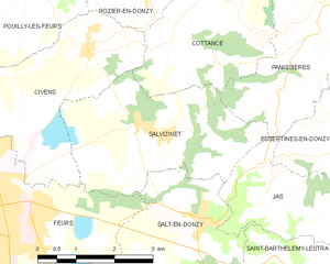
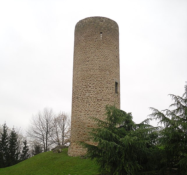
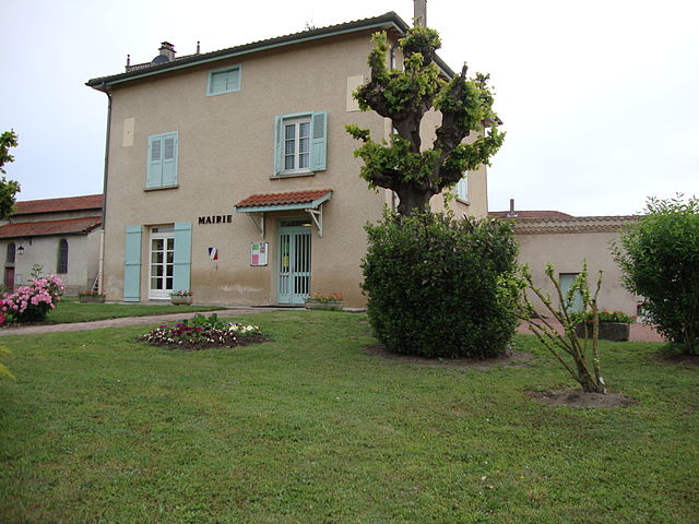
Salvizinet
- commune in Loire, France
- Country:
- Postal Code: 42110
- Coordinates: 45° 45' 34" N, 4° 16' 29" E
- GPS tracks (wikiloc): [Link]
- Area: 10.84 sq km
- Population: 600
- Web site: [Link]


Salt-en-Donzy
- commune in Loire, France
- Country:
- Postal Code: 42110
- Coordinates: 45° 44' 15" N, 4° 17' 20" E
- GPS tracks (wikiloc): [Link]
- Area: 8.93 sq km
- Population: 543

Saint-Laurent-la-Conche
- commune in Loire, France
- Country:
- Postal Code: 42210
- Coordinates: 45° 41' 2" N, 4° 12' 41" E
- GPS tracks (wikiloc): [Link]
- Area: 15.51 sq km
- Population: 619


Valeille
- commune in Loire, France
- Country:
- Postal Code: 42110
- Coordinates: 45° 42' 27" N, 4° 18' 25" E
- GPS tracks (wikiloc): [Link]
- AboveSeaLevel: 400 м m
- Area: 16.43 sq km
- Population: 717


Chambéon
- commune in Loire, France
- Country:
- Postal Code: 42110
- Coordinates: 45° 41' 49" N, 4° 10' 35" E
- GPS tracks (wikiloc): [Link]
- Area: 16.85 sq km
- Population: 521


Poncins
- commune in Loire, France
- Country:
- Postal Code: 42110
- Coordinates: 45° 43' 41" N, 4° 9' 45" E
- GPS tracks (wikiloc): [Link]
- Area: 20.63 sq km
- Population: 1009
- Web site: [Link]