Flangebouche (Flangebouche)

- commune in Doubs, France
 Hiking in Flangebouche
Flangebouche, located in the Jura Mountains of France, is a hidden gem for hikers looking for beautiful landscapes, diverse terrain, and a mix of natural and cultural experiences. The region offers numerous trails suitable for all levels of hikers, from beginners to experienced trekkers.
Key Features of Hiking in Flangebouche:
-
Scenic Trails: The area is known for its rolling hills, dense forests, and panoramic views of the surrounding Jura Mountains. Trails vary in length and difficulty, providing options for day hikes or longer excursions.
-
Natural Attractions: Hikers can explore various natural features, including the nearby Doubs River, limestone cliffs, and lush valleys. Wildlife enthusiasts may also spot diverse flora and fauna along the trails.
-
Cultural Heritage: Besides the stunning natural scenery, Flangebouche is rich in cultural history, with old farms, traditional villages, and historical landmarks that hikers can discover along the way.
-
Trail Conditions: Most trails are well-marked and maintained, though conditions can vary, especially after rain. It's always wise to check local sources or guides for updated trail information.
-
Safety and Preparation: As with any hiking adventure, it's important to wear appropriate footwear and clothing, bring plenty of water, and let someone know your planned route and expected return time.
-
Best Time to Visit: The best seasons for hiking in Flangebouche are spring and autumn, when the weather is mild, and the landscapes are particularly beautiful with blooming flowers or autumn foliage.
-
Local Amenities: The area has small towns where hikers can find accommodations, dining, and services. Some local eateries may serve traditional regional cuisine, offering a taste of the culture after a long day on the trails.
Whether you’re looking to experience serene landscapes, engage with nature, or immerse yourself in local culture, hiking in Flangebouche can provide a rewarding outdoor experience. Always be sure to check local maps and guides for the most current details and recommendations!
- Country:

- Postal Code: 25390
- Coordinates: 47° 8' 24" N, 6° 28' 18" E


- GPS tracks (wikiloc): [Link]
- Area: 23.27 sq km
- Population: 749
- Wikipedia en: wiki(en)
- Wikipedia: wiki(fr)
- Wikidata storage: Wikidata: Q908532
- Wikipedia Commons Category: [Link]
- Freebase ID: [/m/03mh8bk]
- Freebase ID: [/m/03mh8bk]
- GeoNames ID: Alt: [3018392]
- GeoNames ID: Alt: [3018392]
- SIREN number: [212502439]
- SIREN number: [212502439]
- BnF ID: [15252469s]
- BnF ID: [15252469s]
- INSEE municipality code: 25243
- INSEE municipality code: 25243
Shares border with regions:


Orchamps-Vennes
- commune in Doubs, France
Hiking in Orchamps-Vennes
Orchamps-Vennes is a charming village located in the Doubs department of the Bourgogne-Franche-Comté region in eastern France. This area offers a variety of hiking opportunities that cater to different experience levels, from casual walkers to more experienced hikers....
- Country:
- Postal Code: 25390
- Coordinates: 47° 8' 3" N, 6° 31' 31" E
- GPS tracks (wikiloc): [Link]
- Area: 24.79 sq km
- Population: 2085


Gilley
- commune in Doubs, France
Hiking in Gilley
Gilley is a charming village located in the Doubs department of the Bourgogne-Franche-Comté region in eastern France. It’s a great spot for hiking enthusiasts, offering picturesque landscapes, lush forests, and scenic views of the surrounding Jura mountains....
- Country:
- Postal Code: 25650
- Coordinates: 47° 2' 51" N, 6° 29' 4" E
- GPS tracks (wikiloc): [Link]
- Area: 17.27 sq km
- Population: 1615
- Web site: [Link]


Grandfontaine-sur-Creuse
- commune in Doubs, France
Hiking in Grandfontaine-sur-Creuse
Grandfontaine-sur-Creuse is a picturesque village located in the Vienne department of France. Its natural beauty and varied terrain make it an excellent destination for hiking enthusiasts. Here are some highlights about hiking in and around Grandfontaine-sur-Creuse:...
- Country:
- Postal Code: 25510
- Coordinates: 47° 11' 34" N, 6° 27' 15" E
- GPS tracks (wikiloc): [Link]
- Area: 5.9 sq km
- Population: 72


Longemaison
- commune in Doubs, France
Hiking in Longemaison
Longemaison is a small commune located in the Jura department in east-central France, known for its beautiful natural landscapes and outdoor activities, including hiking. Here are some highlights and tips for hiking in and around Longemaison:...
- Country:
- Postal Code: 25690
- Coordinates: 47° 4' 54" N, 6° 27' 34" E
- GPS tracks (wikiloc): [Link]
- Area: 9.63 sq km
- Population: 146
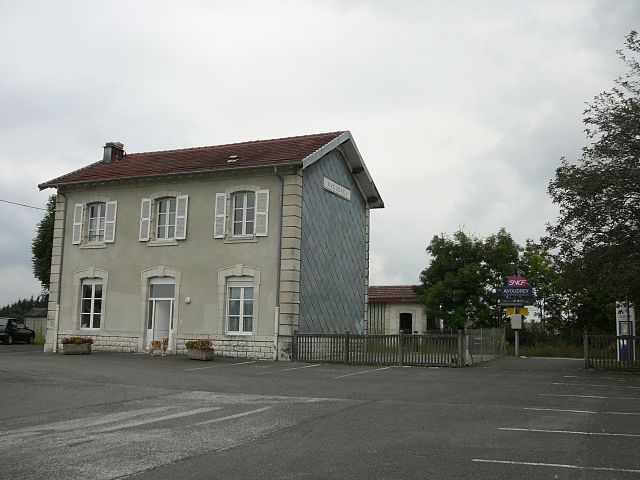

Avoudrey
- commune in Doubs, France
Hiking in Avoudrey
Avoudrey is a picturesque commune located in the Doubs department in the Bourgogne-Franche-Comté region of eastern France. Its location near the Jura Mountains provides a range of hiking opportunities that cater to different skill levels. Here are some highlights about hiking in the Avoudrey region:...
- Country:
- Postal Code: 25690
- Coordinates: 47° 8' 11" N, 6° 26' 8" E
- GPS tracks (wikiloc): [Link]
- Area: 12.86 sq km
- Population: 896


Loray
- commune in Doubs, France
Hiking in Loray
It seems like there may be a mix-up with the name "Loray," as it does not appear to be a widely recognized hiking destination. However, if you were referring to an area near Loray or a specific park or region within a locality, please clarify....
- Country:
- Postal Code: 25390
- Coordinates: 47° 9' 11" N, 6° 29' 44" E
- GPS tracks (wikiloc): [Link]
- Area: 14.39 sq km
- Population: 491