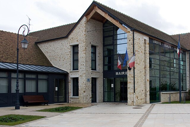
Fleury-Mérogis (Fleury-Mérogis)

- commune in Essonne, France
- Country:

- Postal Code: 91700
- Coordinates: 48° 37' 46" N, 2° 21' 41" E


- GPS tracks (wikiloc): [Link]
- Area: 6.51 sq km
- Population: 10180
- Web site: http://www.mairie-fleury-merogis.fr
- Wikipedia en: wiki(en)
- Wikipedia: wiki(fr)
- Wikidata storage: Wikidata: Q828640
- Wikipedia Commons Category: [Link]
- Freebase ID: [/m/08ry45]
- Freebase ID: [/m/08ry45]
- GeoNames ID: Alt: [3018279]
- GeoNames ID: Alt: [3018279]
- SIREN number: [219102357]
- SIREN number: [219102357]
- BnF ID: [152801213]
- BnF ID: [152801213]
- VIAF ID: Alt: [146587323]
- VIAF ID: Alt: [146587323]
- Library of Congress authority ID: Alt: [n95082770]
- Library of Congress authority ID: Alt: [n95082770]
- INSEE municipality code: 91235
- INSEE municipality code: 91235
Shares border with regions:

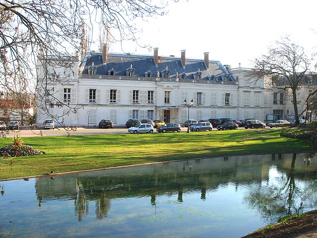
Sainte-Geneviève-des-Bois
- commune in Essonne, France
- Country:
- Postal Code: 91700
- Coordinates: 48° 38' 16" N, 2° 19' 56" E
- GPS tracks (wikiloc): [Link]
- Area: 9.27 sq km
- Population: 35857
- Web site: [Link]

Grigny
- commune in Essonne, France
- Country:
- Postal Code: 91350
- Coordinates: 48° 39' 24" N, 2° 23' 17" E
- GPS tracks (wikiloc): [Link]
- Area: 4.87 sq km
- Population: 28424
- Web site: [Link]

Viry-Châtillon
- commune in Essonne, France
- Country:
- Postal Code: 91170
- Coordinates: 48° 40' 10" N, 2° 22' 33" E
- GPS tracks (wikiloc): [Link]
- Area: 6.07 sq km
- Population: 30831
- Web site: [Link]


Le Plessis-Pâté
- commune in Essonne, France
- Country:
- Postal Code: 91220
- Coordinates: 48° 36' 50" N, 2° 19' 45" E
- GPS tracks (wikiloc): [Link]
- Area: 7.58 sq km
- Population: 3987
- Web site: [Link]
Ris-Orangis
- commune in Essonne, France
- Country:
- Postal Code: 91130
- Coordinates: 48° 39' 4" N, 2° 24' 47" E
- GPS tracks (wikiloc): [Link]
- Area: 8.71 sq km
- Population: 27797
- Web site: [Link]
Bondoufle
- commune in Essonne, France
- Country:
- Postal Code: 91070
- Coordinates: 48° 36' 48" N, 2° 22' 50" E
- GPS tracks (wikiloc): [Link]
- Area: 6.76 sq km
- Population: 9066
- Web site: [Link]

Morsang-sur-Orge
- commune in Essonne, France
- Country:
- Postal Code: 91390
- Coordinates: 48° 39' 48" N, 2° 21' 5" E
- GPS tracks (wikiloc): [Link]
- Area: 4.39 sq km
- Population: 21423
- Web site: [Link]