
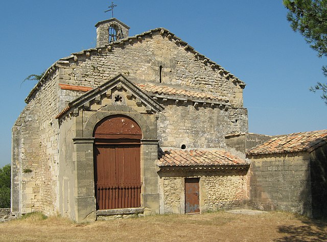
Fontvieille (Fontvieille)

- commune in Bouches-du-Rhône, France
- Country:

- Postal Code: 13990
- Coordinates: 43° 43' 37" N, 4° 42' 32" E


- GPS tracks (wikiloc): [Link]
- Area: 40.18 sq km
- Population: 3627
- Web site: http://www.fontvieille-provence.com
- Wikipedia en: wiki(en)
- Wikipedia: wiki(fr)
- Wikidata storage: Wikidata: Q499246
- Wikipedia Commons Category: [Link]
- Freebase ID: [/m/081g11]
- GeoNames ID: Alt: [6613941]
- SIREN number: [211300389]
- BnF ID: [152473205]
- VIAF ID: Alt: [234208256]
- OSM relation ID: [410450]
- PACTOLS thesaurus ID: [pcrt0050NG60oZ]
- INSEE municipality code: 13038
Shares border with regions:

Saint-Étienne-du-Grès
- commune in Bouches-du-Rhône, France
- Country:
- Postal Code: 13103
- Coordinates: 43° 46' 50" N, 4° 43' 31" E
- GPS tracks (wikiloc): [Link]
- Area: 29.04 sq km
- Population: 2438
- Web site: [Link]
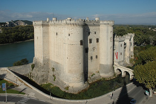
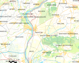
Tarascon
- commune in Bouches-du-Rhône, France
- Country:
- Postal Code: 13150
- Coordinates: 43° 48' 18" N, 4° 39' 34" E
- GPS tracks (wikiloc): [Link]
- Area: 73.97 sq km
- Population: 15056
- Web site: [Link]


Les Baux-de-Provence
- commune in Bouches-du-Rhône, France
- Country:
- Postal Code: 13520
- Coordinates: 43° 44' 38" N, 4° 47' 43" E
- GPS tracks (wikiloc): [Link]
- Area: 18.07 sq km
- Population: 391
- Web site: [Link]


Arles
- commune in Bouches-du-Rhône, France
- Country:
- Postal Code: 13200
- Coordinates: 43° 40' 37" N, 4° 37' 43" E
- GPS tracks (wikiloc): [Link]
- AboveSeaLevel: 57 м m
- Area: 758.93 sq km
- Population: 52886
- Web site: [Link]

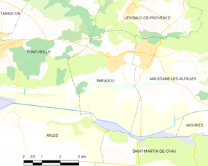
Paradou
- commune in Bouches-du-Rhône, France
- Country:
- Postal Code: 13520
- Coordinates: 43° 43' 16" N, 4° 47' 17" E
- GPS tracks (wikiloc): [Link]
- Area: 16.15 sq km
- Population: 1936
- Web site: [Link]