
Tarascon (Tarascon)

- commune in Bouches-du-Rhône, France
- Country:

- Postal Code: 13150
- Coordinates: 43° 48' 18" N, 4° 39' 34" E


- GPS tracks (wikiloc): [Link]
- Area: 73.97 sq km
- Population: 15056
- Web site: http://www.tarascon.org
- Wikipedia en: wiki(en)
- Wikipedia: wiki(fr)
- Wikidata storage: Wikidata: Q234924
- Wikipedia Commons Gallery: [Link]
- Wikipedia Commons Category: [Link]
- Freebase ID: [/m/0kndt]
- Freebase ID: [/m/0kndt]
- Freebase ID: [/m/0kndt]
- GeoNames ID: Alt: [6427093]
- GeoNames ID: Alt: [6427093]
- GeoNames ID: Alt: [6427093]
- SIREN number: [211301080]
- SIREN number: [211301080]
- SIREN number: [211301080]
- BnF ID: [15247390b]
- BnF ID: [15247390b]
- BnF ID: [15247390b]
- VIAF ID: Alt: [123981328]
- VIAF ID: Alt: [123981328]
- VIAF ID: Alt: [123981328]
- archINFORM location ID: [7062]
- archINFORM location ID: [7062]
- archINFORM location ID: [7062]
- Library of Congress authority ID: Alt: [n81003318]
- Library of Congress authority ID: Alt: [n81003318]
- Library of Congress authority ID: Alt: [n81003318]
- PACTOLS thesaurus ID: [pcrtPj5N1U4mq0]
- PACTOLS thesaurus ID: [pcrtPj5N1U4mq0]
- PACTOLS thesaurus ID: [pcrtPj5N1U4mq0]
- INSEE municipality code: 13108
- INSEE municipality code: 13108
- INSEE municipality code: 13108
Shares border with regions:

Saint-Étienne-du-Grès
- commune in Bouches-du-Rhône, France
- Country:
- Postal Code: 13103
- Coordinates: 43° 46' 50" N, 4° 43' 31" E
- GPS tracks (wikiloc): [Link]
- Area: 29.04 sq km
- Population: 2438
- Web site: [Link]


Beaucaire
- commune in Gard, France
- Country:
- Postal Code: 30300
- Coordinates: 43° 48' 26" N, 4° 38' 36" E
- GPS tracks (wikiloc): [Link]
- Area: 86.52 sq km
- Population: 16094


Graveson
- commune in Bouches-du-Rhône, France
- Country:
- Postal Code: 13690
- Coordinates: 43° 51' 4" N, 4° 46' 24" E
- GPS tracks (wikiloc): [Link]
- Area: 23.54 sq km
- Population: 4838
- Web site: [Link]


Barbentane
- commune in Bouches-du-Rhône, France
- Country:
- Postal Code: 13570
- Coordinates: 43° 53' 58" N, 4° 44' 52" E
- GPS tracks (wikiloc): [Link]
- Area: 27.13 sq km
- Population: 4123
- Web site: [Link]


Vallabrègues
- commune in Gard, France
- Country:
- Postal Code: 30300
- Coordinates: 43° 51' 11" N, 4° 37' 39" E
- GPS tracks (wikiloc): [Link]
- Area: 14.33 sq km
- Population: 1379


Boulbon
- commune in Bouches-du-Rhône, France
- Country:
- Postal Code: 13150
- Coordinates: 43° 51' 45" N, 4° 41' 37" E
- GPS tracks (wikiloc): [Link]
- Area: 19.33 sq km
- Population: 1483
- Web site: [Link]


Arles
- commune in Bouches-du-Rhône, France
- Country:
- Postal Code: 13200
- Coordinates: 43° 40' 37" N, 4° 37' 43" E
- GPS tracks (wikiloc): [Link]
- AboveSeaLevel: 57 м m
- Area: 758.93 sq km
- Population: 52886
- Web site: [Link]
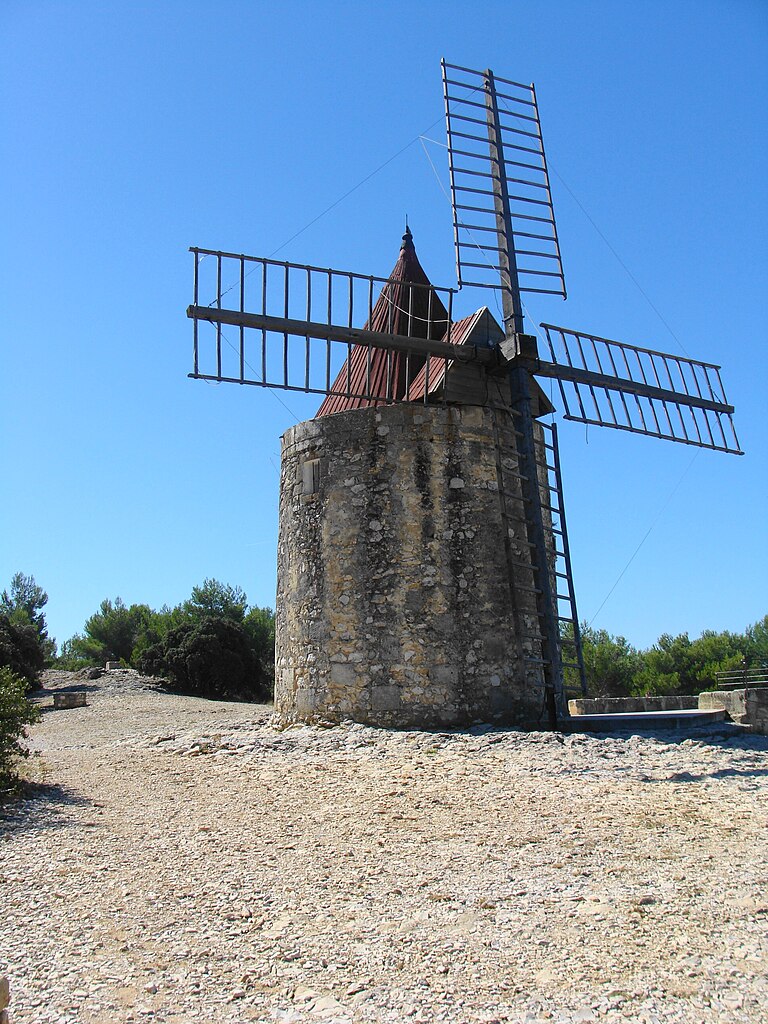
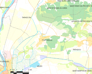
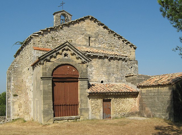
Fontvieille
- commune in Bouches-du-Rhône, France
- Country:
- Postal Code: 13990
- Coordinates: 43° 43' 37" N, 4° 42' 32" E
- GPS tracks (wikiloc): [Link]
- Area: 40.18 sq km
- Population: 3627
- Web site: [Link]


Saint-Pierre-de-Mézoargues
- commune in Bouches-du-Rhône, France
- Country:
- Postal Code: 13150
- Coordinates: 43° 51' 32" N, 4° 38' 56" E
- GPS tracks (wikiloc): [Link]
- AboveSeaLevel: 12 м m
- Area: 4.13 sq km
- Population: 214