.JPG)
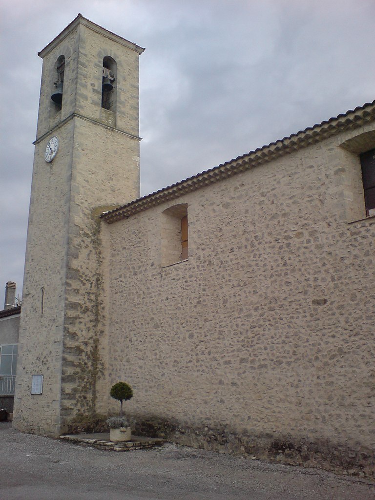
Forcalquier (Forcalquier)
- commune in Alpes-de-Haute-Provence, France
 Hiking in Forcalquier
Forcalquier is a charming town located in the Alpes-de-Haute-Provence region of southeastern France. It is surrounded by stunning natural landscapes, making it a great destination for hiking enthusiasts.
Hiking Highlights in Forcalquier:
-
Diverse Terrain: The area around Forcalquier boasts a variety of terrains, including rocky hills, sprawling fields, and scenic woodlands. This diversity allows hikers of all skill levels to find suitable trails.
-
Local Trails: There are numerous well-marked hiking trails in and around Forcalquier. Popular routes include:
- GR4 (Grande Randonnée 4): This long-distance trail crosses some beautiful landscapes and is part of the larger European network of hiking trails.
- Sentier de la Lavande: A lovely trail that showcases the region's famous lavender fields, especially vibrant during the summer months.
- Montagne de Lure: A slightly more challenging hike that offers breathtaking views of the surrounding region.
-
Natural Beauty: The region is known for its stunning natural beauty, including the Luberon and the Verdon Regional Natural Park, both of which are accessible from Forcalquier.
-
Cultural Sites: While hiking, you can also encounter historical sites, such as ancient chapels, castles, and ruins that reflect the rich history of the area.
-
Climate: Forcalquier enjoys a Mediterranean climate, which means warm summers and mild winters. The best time to hike is usually in the spring (April to June) and fall (September to October) when the weather is pleasant and the landscapes are vibrant.
Tips for Hiking in Forcalquier:
- Preparation: Always check the weather forecast before heading out and wear appropriate hiking gear.
- Hydration: Bring plenty of water, especially during the warmer months when it's easy to become dehydrated.
- Maps and Guides: Consider obtaining local trail maps or hiring a guide if you are unfamiliar with the area. The local tourist office can be a great resource for information and trail recommendations.
- Respect Nature: Follow the Leave No Trace principles to preserve the natural beauty of the trails and surrounding areas.
Overall, hiking in Forcalquier offers a wonderful opportunity to explore the beauty of the French countryside while enjoying the peaceful atmosphere and rich cultural heritage of the region.
- Country:

- Postal Code: 04300
- Coordinates: 43° 57' 33" N, 5° 46' 47" E


- GPS tracks (wikiloc): [Link]
- Area: 42.76 sq km
- Population: 4981
- Web site: http://www.ville-forcalquier.fr
- Wikipedia en: wiki(en)
- Wikipedia: wiki(fr)
- Wikidata storage: Wikidata: Q104431
- Wikipedia Commons Category: [Link]
- Wikipedia Commons Maps Category: [Link]
- Freebase ID: [/m/08pxnl]
- Freebase ID: [/m/08pxnl]
- GeoNames ID: Alt: [3017798]
- GeoNames ID: Alt: [3017798]
- SIREN number: [210400883]
- SIREN number: [210400883]
- BnF ID: [15244426s]
- BnF ID: [15244426s]
- VIAF ID: Alt: [144253972]
- VIAF ID: Alt: [144253972]
- OSM relation ID: [971007]
- OSM relation ID: [971007]
- GND ID: Alt: [4310660-2]
- GND ID: Alt: [4310660-2]
- MusicBrainz area ID: [fe9763f6-e9ae-4fa2-9e0d-49fc3a76db9e]
- MusicBrainz area ID: [fe9763f6-e9ae-4fa2-9e0d-49fc3a76db9e]
- SUDOC authorities ID: [027638871]
- SUDOC authorities ID: [027638871]
- INSEE municipality code: 04088
- INSEE municipality code: 04088
Shares border with regions:

Pierrerue
- commune in Alpes-de-Haute-Provence, France
Hiking in Pierrerue
Pierrerue, located in the Alpes-de-Haute-Provence region of southeastern France, offers a wonderful natural setting for hiking enthusiasts. The area is characterized by stunning landscapes, rolling hills, and a unique blend of Mediterranean and alpine flora. Here are some highlights and tips for hiking in and around Pierrerue:...
- Country:
- Postal Code: 04300
- Coordinates: 43° 57' 22" N, 5° 49' 58" E
- GPS tracks (wikiloc): [Link]
- Area: 10.86 sq km
- Population: 488
- Web site: [Link]

Ongles
- commune in Alpes-de-Haute-Provence, France
Hiking in Ongles
Ongles, located in the Alpes-de-Haute-Provence region of France, offers a unique hiking experience characterized by stunning landscapes, charming rustic villages, and a rich natural environment. Whether you're an experienced hiker or a beginner, you'll find various trails that cater to different skill levels....
- Country:
- Postal Code: 04230
- Coordinates: 44° 1' 40" N, 5° 44' 1" E
- GPS tracks (wikiloc): [Link]
- Area: 31.46 sq km
- Population: 363

Sigonce
- commune in Alpes-de-Haute-Provence, France
Hiking in Sigonce
Sigonce, a picturesque village located in the Provence-Alpes-Côte d'Azur region of France, is a hidden gem for outdoor enthusiasts. The surrounding landscape features rolling hills, dense forests, and stunning views that make it an ideal destination for hiking. Here are some highlights and tips for hiking in Sigonce:...
- Country:
- Postal Code: 04300
- Coordinates: 43° 59' 49" N, 5° 50' 25" E
- GPS tracks (wikiloc): [Link]
- Area: 19.97 sq km
- Population: 429

Villeneuve
- commune in Alpes-de-Haute-Provence, France
Hiking in Villeneuve
Villeneuve, located in the Alpes-de-Haute-Provence region of France, offers beautiful hiking opportunities that showcase the stunning natural landscapes of the area. The region is characterized by its diverse terrains, which include hills, mountains, river valleys, and lush forests, making it an attractive destination for hikers of all skill levels....
- Country:
- Postal Code: 04180
- Coordinates: 43° 53' 39" N, 5° 51' 47" E
- GPS tracks (wikiloc): [Link]
- Area: 25.55 sq km
- Population: 4094
Niozelles
- commune in Alpes-de-Haute-Provence, France
Hiking in Niozelles
Niozelles is a picturesque village located in the Alpes-de-Haute-Provence region of southeastern France. It offers a charming rural landscape, steeped in tranquility and natural beauty, making it a great spot for hiking enthusiasts....
- Country:
- Postal Code: 04300
- Coordinates: 43° 56' 10" N, 5° 50' 15" E
- GPS tracks (wikiloc): [Link]
- Area: 10.47 sq km
- Population: 275

Limans
- commune in Alpes-de-Haute-Provence, France
Hiking in Limans
Hiking in Limans, or coastal areas and wetlands, can be a unique and rewarding experience. However, it seems you might be referring to a specific region, as "Limans" could pertain to various geographical features depending on the context. Here are a few general tips and highlights for hiking in coastal or wetland regions that could be relevant:...
- Country:
- Postal Code: 04300
- Coordinates: 43° 59' 6" N, 5° 43' 50" E
- GPS tracks (wikiloc): [Link]
- Area: 20.97 sq km
- Population: 365

Mane
- commune in Alpes-de-Haute-Provence, France
Hiking in Mane
Mane, located in the Alpes-de-Haute-Provence region of France, offers a picturesque setting for hiking enthusiasts. Nestled in the foothills of the Luberon mountains and surrounded by lush landscapes, it provides a variety of trails suitable for all levels of hikers....
- Country:
- Postal Code: 04300
- Coordinates: 43° 56' 18" N, 5° 46' 3" E
- GPS tracks (wikiloc): [Link]
- Area: 22 sq km
- Population: 1367
- Web site: [Link]

Saint-Maime
- commune in Alpes-de-Haute-Provence, France
Hiking in Saint-Maime
Saint-Maime, located in the Alpes-de-Haute-Provence region of southeastern France, is a great location for hiking enthusiasts. The area is characterized by its stunning landscapes, which include rolling hills, rocky terrain, and picturesque views of the surrounding Provencal countryside....
- Country:
- Postal Code: 04300
- Coordinates: 43° 54' 14" N, 5° 47' 34" E
- GPS tracks (wikiloc): [Link]
- Area: 7.51 sq km
- Population: 835
- Web site: [Link]

Fontienne
- commune in Alpes-de-Haute-Provence, France
Hiking in Fontienne
Fontienne is not a widely known hiking destination, so it's possible that you're referring to a specific area or a local trail that has not gained significant recognition outside its immediate region. Here are some general guidelines and tips for hiking in lesser-known areas that may apply to hiking in Fontienne or similar locations:...
- Country:
- Postal Code: 04230
- Coordinates: 44° 0' 32" N, 5° 47' 36" E
- GPS tracks (wikiloc): [Link]
- Area: 8.18 sq km
- Population: 129