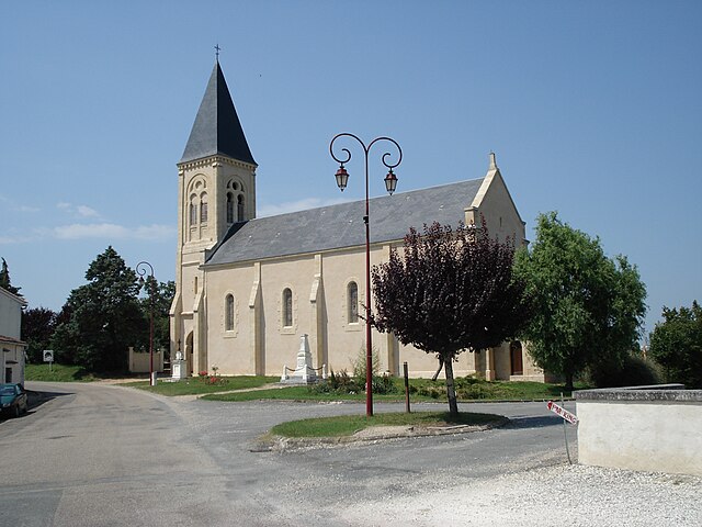
Monfaucon (Monfaucon)

- commune in Dordogne, France
- Country:

- Postal Code: 24130
- Coordinates: 44° 54' 42" N, 0° 14' 14" E


- GPS tracks (wikiloc): [Link]
- Area: 24.74 sq km
- Population: 302
- Web site: http://www.monfaucon.fr/
- Wikipedia en: wiki(en)
- Wikipedia: wiki(fr)
- Wikidata storage: Wikidata: Q530274
- Wikipedia Commons Category: [Link]
- Freebase ID: [/m/03mg71t]
- Freebase ID: [/m/03mg71t]
- GeoNames ID: Alt: [6613780]
- GeoNames ID: Alt: [6613780]
- SIREN number: [212402770]
- SIREN number: [212402770]
- BnF ID: [15251923m]
- BnF ID: [15251923m]
- INSEE municipality code: 24277
- INSEE municipality code: 24277
Shares border with regions:


Saint-Pierre-d'Eyraud
- commune in Dordogne, France
- Country:
- Postal Code: 24130
- Coordinates: 44° 50' 54" N, 0° 19' 7" E
- GPS tracks (wikiloc): [Link]
- Area: 26.16 sq km
- Population: 1776
- Web site: [Link]

Saint-Géraud-de-Corps
- commune in Dordogne, France
- Country:
- Postal Code: 24700
- Coordinates: 44° 57' 7" N, 0° 13' 35" E
- GPS tracks (wikiloc): [Link]
- Area: 14.95 sq km
- Population: 222


Saint-Méard-de-Gurçon
- commune in Dordogne, France
- Country:
- Postal Code: 24610
- Coordinates: 44° 54' 33" N, 0° 11' 1" E
- GPS tracks (wikiloc): [Link]
- Area: 28.38 sq km
- Population: 794
- Web site: [Link]


Fraisse
- commune in Dordogne, France
- Country:
- Postal Code: 24130
- Coordinates: 44° 55' 47" N, 0° 18' 28" E
- GPS tracks (wikiloc): [Link]
- Area: 21.5 sq km
- Population: 169


Le Fleix
- commune in Dordogne, France
- Country:
- Postal Code: 24130
- Coordinates: 44° 52' 29" N, 0° 15' 5" E
- GPS tracks (wikiloc): [Link]
- Area: 18.05 sq km
- Population: 1513
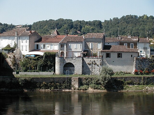

Port-Sainte-Foy-et-Ponchapt
- commune in Dordogne, France
- Country:
- Postal Code: 33220
- Coordinates: 44° 50' 0" N, 0° 12' 0" E
- GPS tracks (wikiloc): [Link]
- AboveSeaLevel: 18 м m
- Area: 18.32 sq km
- Population: 2503
- Web site: [Link]