Genas (Genas)
- commune in Rhône, France
- Country:

- Postal Code: 69740
- Coordinates: 45° 43' 53" N, 5° 0' 8" E


- GPS tracks (wikiloc): [Link]
- Area: 23.84 sq km
- Population: 12741
- Web site: http://www.genas.fr
- Wikipedia en: wiki(en)
- Wikipedia: wiki(fr)
- Wikidata storage: Wikidata: Q767263
- Wikipedia Commons Category: [Link]
- Freebase ID: [/m/03ql6n6]
- Freebase ID: [/m/03ql6n6]
- GeoNames ID: Alt: [3016387]
- GeoNames ID: Alt: [3016387]
- SIREN number: [216902775]
- SIREN number: [216902775]
- BnF ID: [15272363v]
- BnF ID: [15272363v]
- WOEID: [592587]
- WOEID: [592587]
- INSEE municipality code: 69277
- INSEE municipality code: 69277
Shares border with regions:
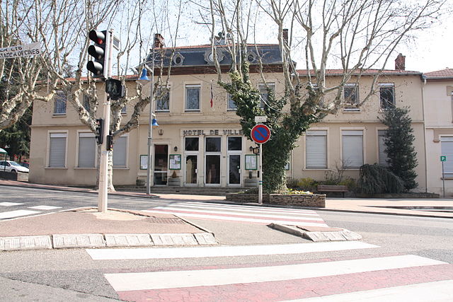

Chassieu
- commune in the metropolis of Lyon, France
- Country:

- Postal Code: 69680
- Coordinates: 45° 44' 40" N, 4° 57' 59" E


- GPS tracks (wikiloc): [Link]
- Area: 11.57 sq km
- Population: 10121
- Web site: [Link]


Pusignan
- commune in Rhône, France
- Country:

- Postal Code: 69330
- Coordinates: 45° 45' 20" N, 5° 4' 2" E


- GPS tracks (wikiloc): [Link]
- Area: 13.04 sq km
- Population: 4011
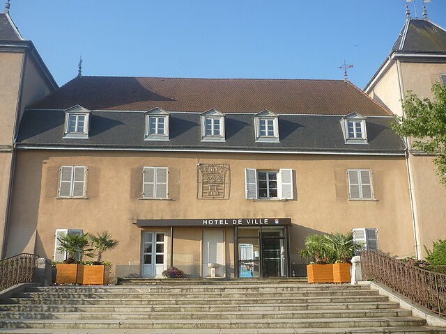

Saint-Bonnet-de-Mure
- commune in Rhône, France
 Hiking in Saint-Bonnet-de-Mure
Saint-Bonnet-de-Mure is a charming commune located near Lyon, in the Auvergne-Rhône-Alpes region of France. While it may not be as famous as some larger hiking destinations, it offers some pleasant trails and outdoor opportunities for hikers. Here are a few points of interest regarding hiking in and around Saint-Bonnet-de-Mure:...
- Country:

- Postal Code: 69720
- Coordinates: 45° 41' 26" N, 5° 1' 45" E


- GPS tracks (wikiloc): [Link]
- Area: 16.34 sq km
- Population: 6851
- Web site: [Link]

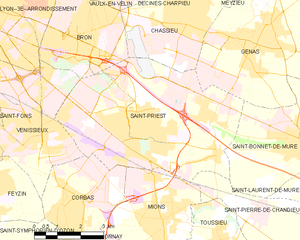
Saint-Priest
- commune in the metropolis of Lyon, France
- Country:

- Postal Code: 69800
- Coordinates: 45° 41' 47" N, 4° 56' 38" E


- GPS tracks (wikiloc): [Link]
- AboveSeaLevel: 208 м m
- Area: 29.71 sq km
- Population: 45097
- Web site: [Link]
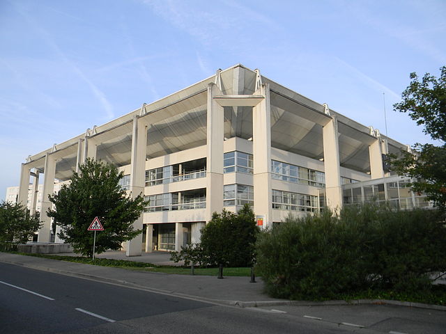
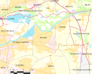
Meyzieu
- commune in the metropolis of Lyon, France
- Country:

- Postal Code: 69330
- Coordinates: 45° 45' 59" N, 5° 0' 10" E


- GPS tracks (wikiloc): [Link]
- AboveSeaLevel: 192 м m
- Area: 23.01 sq km
- Population: 32863
- Web site: [Link]


Colombier-Saugnieu
- commune in Rhône, France
Colombier-Saugnieu, located in the Auvergne-Rhône-Alps region of France, offers a variety of hiking opportunities that showcase the natural beauty of the surrounding landscape. Here are some key points about hiking in this area:...
- Country:

- Postal Code: 69124
- Coordinates: 45° 42' 41" N, 5° 6' 44" E


- GPS tracks (wikiloc): [Link]
- Area: 27.62 sq km
- Population: 2554
