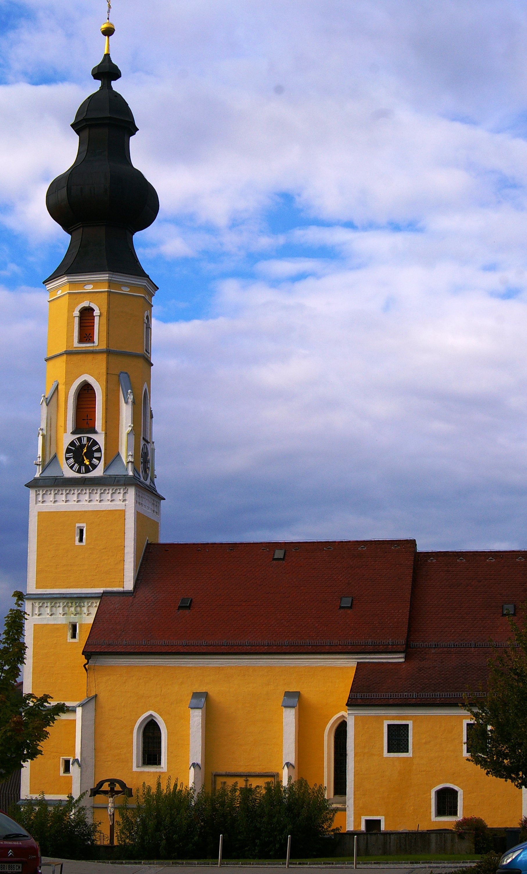
Geretsberg (Geretsberg)
- municipality in Austria
 Hiking in Geretsberg
Geretsberg, located in Austria, offers beautiful hiking opportunities amidst stunning natural landscapes. The region is characterized by rolling hills, lush forests, and picturesque views, making it a delightful destination for outdoor enthusiasts.
Hiking Trails
There are several trails catering to different skill levels:
-
Local Hiking Routes: Many marked trails offer easy to moderate hikes suitable for families and casual hikers. These trails often take you through scenic woodlands and past charming rural areas.
-
Longer Trails: For those looking for a more challenging experience, there are longer routes that can connect to surrounding hills and more elevated areas, providing breathtaking panoramic views of the countryside.
-
Themed Loops: Some trails feature themes, such as nature trails where you can learn about local flora and fauna, or historical trails that provide insights into the area’s rich culture and history.
Best Time to Hike
The best time to hike in Geretsberg is during the spring and fall when the weather is generally mild and the scenery is especially beautiful, with blooming flowers in spring and vibrant foliage in autumn. Summer can be warm, while winter conditions may limit accessibility, especially in higher elevations.
Preparation Tips
- Gear Up: Use sturdy hiking shoes with good grip. A hiking pole can also be helpful in steep or uneven terrain.
- Pack Essentials: Bring enough water and snacks, a map or GPS, a first aid kit, and weather-appropriate clothing.
- Check Weather: Always check the weather forecast before heading out, as conditions can change rapidly.
Safety Considerations
- Stay on marked trails to protect both yourself and the environment.
- Inform someone about your hiking plans and expected return time.
Conclusion
Hiking in Geretsberg offers both tranquility and adventure, a great way to immerse yourself in nature. Whether you’re taking a leisurely stroll or tackling more challenging hikes, the beauty of the landscape will surely enhance your outdoor experience. Happy hiking!
- Country:

- Local Dialing Code: 07748
- Licence Plate Code: BR
- Coordinates: 48° 5' 20" N, 12° 56' 5" E


- GPS tracks (wikiloc): [Link]
- AboveSeaLevel: 491 м m
- Area: 37.54 sq km
- Population: 1187
- Web site: http://www.geretsberg.at
- Wikipedia en: wiki(en)
- Wikipedia: wiki(de)
- Wikidata storage: Wikidata: Q205300
- Wikipedia Commons Category: [Link]
- Freebase ID: [/m/03gv1zl]
- GeoNames ID: Alt: [7871970]
- VIAF ID: Alt: [242362632]
- Austrian municipality key: [40409]
Shares border with regions:
Gilgenberg am Weilhart
- municipality in Austria
Hiking in Gilgenberg am Weilhart
Gilgenberg am Weilhart is a picturesque village in Austria, located in the state of Upper Austria. While it might not be as well-known as some of the larger hiking destinations, it offers a number of scenic trails and beautiful countryside, making it a great spot for hiking enthusiasts....
- Country:
- Postal Code: 5133
- Local Dialing Code: 07728
- Licence Plate Code: BR
- Coordinates: 48° 7' 54" N, 12° 56' 21" E
- GPS tracks (wikiloc): [Link]
- AboveSeaLevel: 466 м m
- Area: 26.58 sq km
- Population: 1327
- Web site: [Link]

Franking
- municipality in Austria
Hiking in Franking
Franking, a small town located in Upper Austria, is nestled near the borders of Bavaria, Germany. It offers a picturesque setting for hiking enthusiasts looking for stunning landscapes, tranquil nature, and a touch of local culture....
- Country:
- Postal Code: 5131
- Local Dialing Code: 06277
- Licence Plate Code: BR
- Coordinates: 48° 3' 3" N, 12° 54' 50" E
- GPS tracks (wikiloc): [Link]
- AboveSeaLevel: 457 м m
- Area: 10.46 sq km
- Population: 953
- Web site: [Link]

Haigermoos
- municipality in Austria
Hiking in Haigermoos
Haigermoos is a lesser-known hiking destination, often sought out for its scenic landscapes and tranquil setting. While it may not be as famous as other locations, it offers a unique experience for hikers who are looking for peace away from the crowds....
- Country:
- Postal Code: 5120
- Local Dialing Code: 06277
- Licence Plate Code: BR
- Coordinates: 48° 2' 41" N, 12° 52' 58" E
- GPS tracks (wikiloc): [Link]
- AboveSeaLevel: 470 м m
- Area: 7.45 sq km
- Population: 610
- Web site: [Link]


Hochburg-Ach
- municipality in Austria
Hiking in Hochburg-Ach
Hochburg-Ach, located in Bavaria, Germany, near the Austrian border, offers a variety of hiking opportunities that showcase the beautiful landscapes of the region. Here are some key points about hiking in Hochburg-Ach:...
- Country:
- Postal Code: 5122
- Local Dialing Code: 07727
- Licence Plate Code: BR
- Coordinates: 48° 7' 50" N, 12° 52' 40" E
- GPS tracks (wikiloc): [Link]
- AboveSeaLevel: 462 м m
- Area: 40.12 sq km
- Population: 3236
- Web site: [Link]
Tarsdorf
- municipality in Austria
Hiking in Tarsdorf
Tarsdorf, located in Austria near the border with Germany, offers a charming backdrop for hiking enthusiasts. The area features picturesque landscapes, rolling hills, and a mix of agricultural land and forests, making it suitable for both recreational walks and more challenging hikes. Here are some highlights for hiking in Tarsdorf:...
- Country:
- Postal Code: 5121
- Local Dialing Code: 06278
- Licence Plate Code: BR
- Coordinates: 48° 4' 48" N, 12° 49' 33" E
- GPS tracks (wikiloc): [Link]
- AboveSeaLevel: 429 м m
- Area: 32.34 sq km
- Population: 2068
- Web site: [Link]

Ostermiething
- municipality in Austria
Hiking in Ostermiething
Ostermiething, a charming municipality located in Upper Austria, offers beautiful landscapes and a variety of hiking opportunities for nature lovers. The region is characterized by its scenic countryside, rolling hills, and lush forests, making it a great destination for both casual walkers and more experienced hikers....
- Country:
- Postal Code: 5121
- Local Dialing Code: 06278
- Licence Plate Code: BR
- Coordinates: 48° 2' 50" N, 12° 49' 50" E
- GPS tracks (wikiloc): [Link]
- AboveSeaLevel: 423 м m
- Area: 21.76 sq km
- Population: 3296
- Web site: [Link]

Eggelsberg
- municipality in Austria
Hiking in Eggelsberg
Eggelsberg, located in Austria, offers beautiful hiking opportunities, especially for those who appreciate scenic landscapes and a tranquil environment. The region is characterized by rolling hills, lush forests, and charming rural views, making it suitable for both casual walkers and more seasoned hikers....
- Country:
- Postal Code: 5142
- Local Dialing Code: 07748
- Licence Plate Code: BR
- Coordinates: 48° 4' 40" N, 12° 59' 34" E
- GPS tracks (wikiloc): [Link]
- AboveSeaLevel: 531 м m
- Area: 24.15 sq km
- Population: 2365
- Web site: [Link]