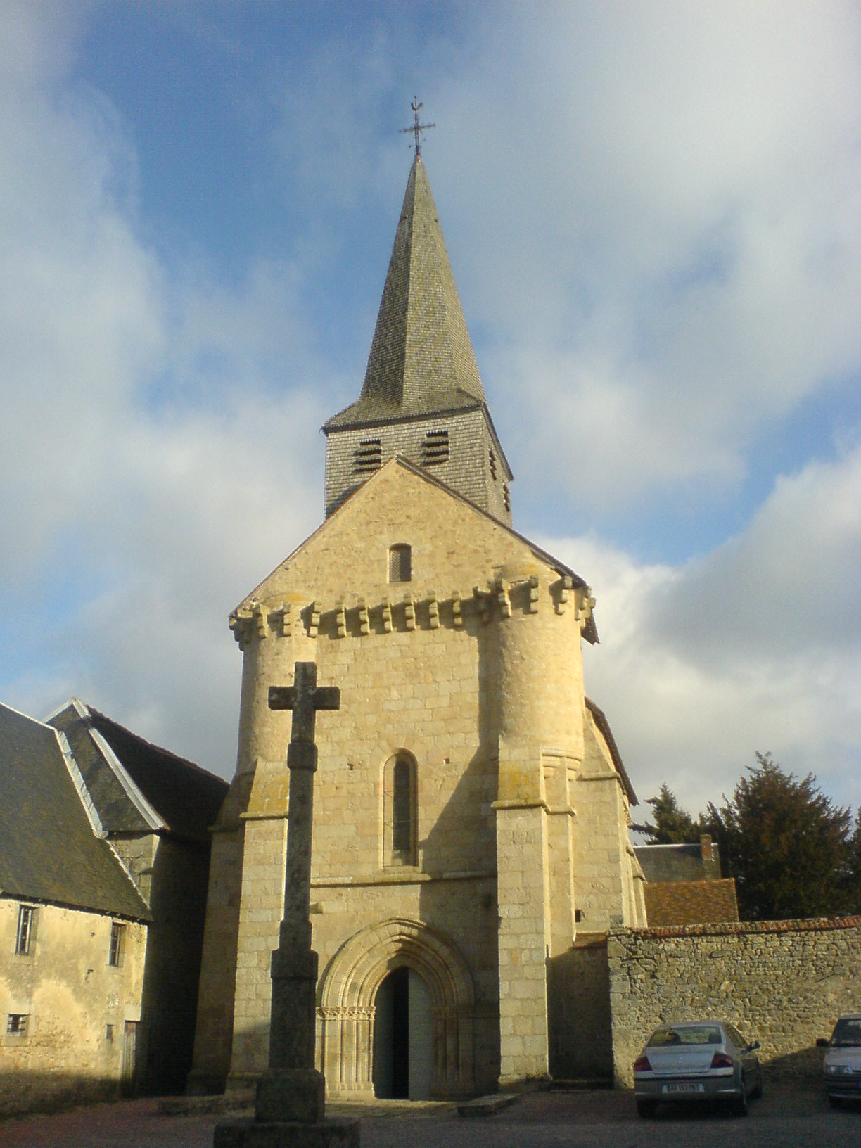
Glénic (Glénic)

- commune in Creuse, France
- Country:

- Postal Code: 23380
- Coordinates: 46° 13' 24" N, 1° 55' 22" E


- GPS tracks (wikiloc): [Link]
- Area: 27.6 sq km
- Population: 657
- Wikipedia en: wiki(en)
- Wikipedia: wiki(fr)
- Wikidata storage: Wikidata: Q738801
- Wikipedia Commons Category: [Link]
- Freebase ID: [/m/03mfjfh]
- Freebase ID: [/m/03mfjfh]
- GeoNames ID: Alt: [3015817]
- GeoNames ID: Alt: [3015817]
- SIREN number: [212309207]
- SIREN number: [212309207]
- BnF ID: [152514802]
- BnF ID: [152514802]
- INSEE municipality code: 23092
- INSEE municipality code: 23092
Shares border with regions:
Saint-Fiel
- commune in Creuse, France
- Country:
- Postal Code: 23000
- Coordinates: 46° 12' 48" N, 1° 53' 43" E
- GPS tracks (wikiloc): [Link]
- Area: 16.72 sq km
- Population: 1037


Roches
- commune in Creuse, France
- Country:
- Postal Code: 23270
- Coordinates: 46° 16' 59" N, 1° 59' 59" E
- GPS tracks (wikiloc): [Link]
- Area: 25.55 sq km
- Population: 368


Sainte-Feyre
- commune in Creuse, France
- Country:
- Postal Code: 23000
- Coordinates: 46° 8' 18" N, 1° 54' 54" E
- GPS tracks (wikiloc): [Link]
- Area: 29.99 sq km
- Population: 2488
- Web site: [Link]


Jouillat
- commune in Creuse, France
- Country:
- Postal Code: 23220
- Coordinates: 46° 15' 26" N, 1° 56' 10" E
- GPS tracks (wikiloc): [Link]
- Area: 22.44 sq km
- Population: 422
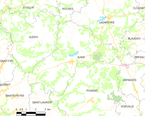
Ajain
- commune in Creuse, France
- Country:
- Postal Code: 23380
- Coordinates: 46° 12' 27" N, 1° 59' 55" E
- GPS tracks (wikiloc): [Link]
- Area: 33.14 sq km
- Population: 1130

Anzême
- commune in Creuse, France
- Country:
- Postal Code: 23000
- Coordinates: 46° 15' 57" N, 1° 51' 49" E
- GPS tracks (wikiloc): [Link]
- Area: 29.5 sq km
- Population: 575