Gorges (Gorges)

- commune in Loire-Atlantique, France
- Country:

- Postal Code: 44190
- Coordinates: 47° 6' 6" N, 1° 18' 14" E


- GPS tracks (wikiloc): [Link]
- Area: 15.77 sq km
- Population: 4495
- Web site: http://www.valleedeclisson.fr/Gorges.119.0.html
- Wikipedia en: wiki(en)
- Wikipedia: wiki(fr)
- Wikidata storage: Wikidata: Q749819
- Wikipedia Commons Category: [Link]
- Freebase ID: [/m/03nwdvp]
- Freebase ID: [/m/03nwdvp]
- GeoNames ID: Alt: [6449099]
- GeoNames ID: Alt: [6449099]
- SIREN number: [214400640]
- SIREN number: [214400640]
- BnF ID: [15260233z]
- BnF ID: [15260233z]
- VIAF ID: Alt: [249372288]
- VIAF ID: Alt: [249372288]
- INSEE municipality code: 44064
- INSEE municipality code: 44064
Shares border with regions:

Saint-Hilaire-de-Clisson
- commune in Loire-Atlantique, France
- Country:
- Postal Code: 44190
- Coordinates: 47° 3' 44" N, 1° 18' 28" E
- GPS tracks (wikiloc): [Link]
- Area: 18.43 sq km
- Population: 2222
- Web site: [Link]


Mouzillon
- commune in Loire-Atlantique, France
- Country:
- Postal Code: 44330
- Coordinates: 47° 8' 29" N, 1° 16' 56" E
- GPS tracks (wikiloc): [Link]
- Area: 16.5 sq km
- Population: 2764
- Web site: [Link]


Saint-Lumine-de-Clisson
- commune in Loire-Atlantique, France
- Country:
- Postal Code: 44190
- Coordinates: 47° 5' 1" N, 1° 20' 13" E
- GPS tracks (wikiloc): [Link]
- Area: 18.26 sq km
- Population: 2118
- Web site: [Link]


Monnières
- commune in Loire-Atlantique, France
- Country:
- Postal Code: 44690
- Coordinates: 47° 7' 54" N, 1° 21' 21" E
- GPS tracks (wikiloc): [Link]
- Area: 9.78 sq km
- Population: 2125
- Web site: [Link]
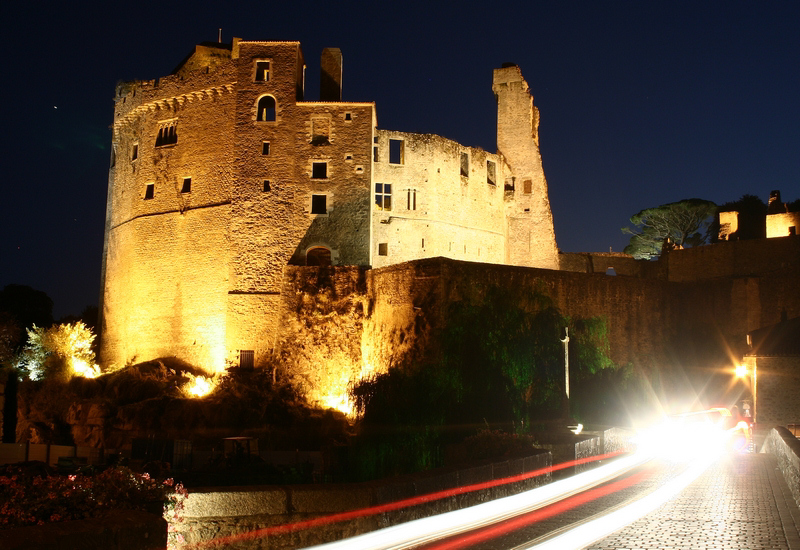

Clisson
- commune in Loire-Atlantique, France
- Country:
- Postal Code: 44190
- Coordinates: 47° 5' 13" N, 1° 17' 1" E
- GPS tracks (wikiloc): [Link]
- Area: 11.3 sq km
- Population: 6883
- Web site: [Link]


Le Pallet
- commune in Loire-Atlantique, France
- Country:
- Postal Code: 44330
- Coordinates: 47° 8' 18" N, 1° 20' 9" E
- GPS tracks (wikiloc): [Link]
- Area: 11.75 sq km
- Population: 3234
- Web site: [Link]