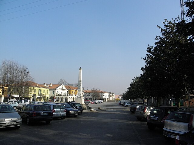
Granze (Granze)
.svg)
- Italian comune
 Hiking in Granze
It appears there's a slight confusion with the name "Granze." If you're referring to a specific hiking location, it might not be widely recognized or could be a misspelling. However, if you meant "Granz" in Austria or "Grenze" in a general sense, I can provide some useful insights.
To help you better, could you specify which area or region you’re interested in hiking? If you meant a different location, such as a specific national park or region known for its hiking trails, please clarify!
- Country:

- Postal Code: 35040
- Local Dialing Code: 0429
- Licence Plate Code: PD
- Coordinates: 45° 11' 0" N, 11° 43' 0" E


- GPS tracks (wikiloc): [Link]
- AboveSeaLevel: 6 м m
- Area: 11.47 sq km
- Population: 2032
- Web site: http://www.comune.granze.pd.it
- Wikipedia en: wiki(en)
- Wikipedia: wiki(it)
- Wikidata storage: Wikidata: Q34422
- Wikipedia Commons Category: [Link]
- Freebase ID: [/m/0gk4k6]
- GeoNames ID: Alt: [6540396]
- OSM relation ID: [44317]
- MusicBrainz area ID: [3e3649fd-7250-4e2e-ace6-bfe87023fc14]
- ISTAT ID: 028043
- Italian cadastre code: E146
Shares border with regions:

Villa Estense
- Italian comune
Hiking in Villa Estense
Villa Estense is a picturesque village located in the Veneto region of Italy, known for its charming landscapes and rural charm. While it might not be a widely recognized hiking destination compared to mountainous regions, there are still opportunities for hiking and enjoying the natural beauty of the area....
- Country:
- Postal Code: 35040
- Local Dialing Code: 0429
- Licence Plate Code: PD
- Coordinates: 45° 10' 0" N, 11° 40' 0" E
- GPS tracks (wikiloc): [Link]
- AboveSeaLevel: 10 м m
- Area: 16.01 sq km
- Population: 2225
- Web site: [Link]
Stanghella
- Italian comune
Hiking in Stanghella
Stanghella is a small town located in the Province of Padua, in the Veneto region of Italy. While it may not be as famous for hiking as other regions of Italy, it offers some opportunities for those who enjoy walking and exploring nature....
- Country:
- Postal Code: 35048
- Local Dialing Code: 0429; 0425
- Licence Plate Code: PD
- Coordinates: 45° 8' 0" N, 11° 45' 0" E
- GPS tracks (wikiloc): [Link]
- AboveSeaLevel: 7 м m
- Area: 19.81 sq km
- Population: 4156
- Web site: [Link]

Vescovana
- comune of Italy
Hiking in Vescovana
Vescovana is a charming village located in the Veneto region of Italy, known for its picturesque landscapes and rich cultural heritage. While Vescovana itself may not be widely recognized for extensive hiking trails, it offers a great starting point for exploring the surrounding areas....
- Country:
- Postal Code: 35040
- Local Dialing Code: 0425
- Licence Plate Code: PD
- Coordinates: 45° 8' 0" N, 11° 43' 0" E
- GPS tracks (wikiloc): [Link]
- AboveSeaLevel: 7 м m
- Area: 22.25 sq km
- Population: 1810
- Web site: [Link]

Solesino
- Italian comune
Hiking in Solesino
Solesino, located in the Veneto region of northern Italy, is surrounded by scenic landscapes that offer a variety of hiking opportunities. While it may not be as widely known as some larger destinations, it provides beautiful trails that showcase the natural beauty of the area....
- Country:
- Postal Code: 35047
- Local Dialing Code: 0429
- Licence Plate Code: PD
- Coordinates: 45° 10' 0" N, 11° 45' 0" E
- GPS tracks (wikiloc): [Link]
- AboveSeaLevel: 10 м m
- Area: 10.14 sq km
- Population: 7025
- Web site: [Link]

Sant'Urbano
- Italian comune
Hiking in Sant'Urbano
Sant'Urbano, a charming area located in the Veneto region of Italy, offers a range of hiking opportunities that cater to various skill levels. Surrounded by beautiful landscapes, including vineyards, rolling hills, and lush forests, hiking here can be a rewarding experience for nature lovers....
- Country:
- Postal Code: 35040
- Local Dialing Code: 0429
- Licence Plate Code: PD
- Coordinates: 45° 8' 0" N, 11° 39' 0" E
- GPS tracks (wikiloc): [Link]
- AboveSeaLevel: 9 м m
- Area: 31.92 sq km
- Population: 2008
- Web site: [Link]

Sant'Elena
- Italian comune
Hiking in Sant'Elena
Sant'Elena is a picturesque area in the Veneto region of Italy, known for its natural beauty and serene landscapes. When it comes to hiking in Sant'Elena, there are several aspects to consider:...
- Country:
- Postal Code: 35040
- Local Dialing Code: 0429
- Licence Plate Code: PD
- Coordinates: 45° 11' 0" N, 11° 43' 0" E
- GPS tracks (wikiloc): [Link]
- AboveSeaLevel: 8 м m
- Area: 8.92 sq km
- Population: 2500
- Web site: [Link]