
Guérande (Guérande)

- commune in Loire-Atlantique, Brittany, France
- Country:

- Postal Code: 44350
- Coordinates: 47° 19' 41" N, 2° 25' 45" E


- GPS tracks (wikiloc): [Link]
- Area: 81.44 sq km
- Population: 16294
- Web site: http://www.ville-guerande.fr
- Wikipedia en: wiki(en)
- Wikipedia: wiki(fr)
- Wikidata storage: Wikidata: Q501971
- Wikipedia Commons Category: [Link]
- Freebase ID: [/m/0284pgc]
- Freebase ID: [/m/0284pgc]
- GeoNames ID: Alt: [3014392]
- GeoNames ID: Alt: [3014392]
- SIREN number: [214400699]
- SIREN number: [214400699]
- BnF ID: [15260238p]
- BnF ID: [15260238p]
- VIAF ID: Alt: [167850284]
- VIAF ID: Alt: [167850284]
- OSM relation ID: [181145]
- OSM relation ID: [181145]
- Library of Congress authority ID: Alt: [n85082914]
- Library of Congress authority ID: Alt: [n85082914]
- Quora topic ID: [Guérande]
- Quora topic ID: [Guérande]
- SUDOC authorities ID: [185341365]
- SUDOC authorities ID: [185341365]
- Twitter username: Alt: [villedeguerande]
- Twitter username: Alt: [villedeguerande]
- Digital Atlas of the Roman Empire ID: [19348]
- Digital Atlas of the Roman Empire ID: [19348]
- INSEE municipality code: 44069
- INSEE municipality code: 44069
Shares border with regions:

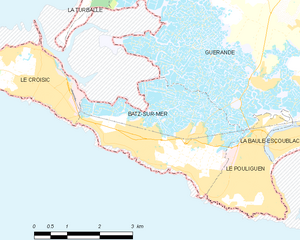
Batz-sur-Mer
- commune in Loire-Atlantique, France
- Country:
- Postal Code: 44740
- Coordinates: 47° 16' 39" N, 2° 28' 49" E
- GPS tracks (wikiloc): [Link]
- Area: 9.27 sq km
- Population: 2974
- Web site: [Link]


Saint-André-des-Eaux
- commune in Loire-Atlantique, France
- Country:
- Postal Code: 44117
- Coordinates: 47° 18' 50" N, 2° 18' 39" E
- GPS tracks (wikiloc): [Link]
- Area: 24.71 sq km
- Population: 6197
- Web site: [Link]

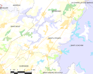
Saint-Lyphard
- commune in Loire-Atlantique, France
- Country:
- Postal Code: 44410
- Coordinates: 47° 23' 52" N, 2° 18' 28" E
- GPS tracks (wikiloc): [Link]
- Area: 24.63 sq km
- Population: 4627
- Web site: [Link]


Le Pouliguen
- commune in Loire-Atlantique, France
- Country:
- Postal Code: 44510
- Coordinates: 47° 16' 37" N, 2° 25' 49" E
- GPS tracks (wikiloc): [Link]
- Area: 4.39 sq km
- Population: 4455
- Web site: [Link]
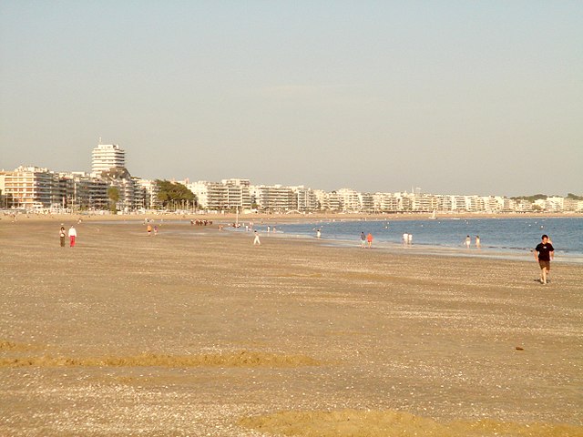

La Baule-Escoublac
- commune in Loire-Atlantique, France
- Country:
- Postal Code: 44500
- Coordinates: 47° 17' 9" N, 2° 23' 32" E
- GPS tracks (wikiloc): [Link]
- AboveSeaLevel: 1 м m
- Area: 22.19 sq km
- Population: 15611
- Web site: [Link]


La Turballe
- commune in Loire-Atlantique, France
- Country:
- Postal Code: 44420
- Coordinates: 47° 20' 44" N, 2° 30' 24" E
- GPS tracks (wikiloc): [Link]
- Area: 18.53 sq km
- Population: 4460
- Web site: [Link]


Saint-Molf
- commune in Loire-Atlantique, France
- Country:
- Postal Code: 44350
- Coordinates: 47° 23' 29" N, 2° 25' 30" E
- GPS tracks (wikiloc): [Link]
- Area: 22.82 sq km
- Population: 2499
- Web site: [Link]


Herbignac
- commune in Loire-Atlantique, France
- Country:
- Postal Code: 44410
- Coordinates: 47° 26' 56" N, 2° 19' 3" E
- GPS tracks (wikiloc): [Link]
- Area: 71.43 sq km
- Population: 6582
- Web site: [Link]