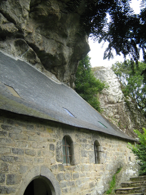
Guern (Guern)

- commune in Morbihan, France
- Country:

- Postal Code: 56310
- Coordinates: 48° 1' 50" N, 3° 5' 30" E


- GPS tracks (wikiloc): [Link]
- Area: 47.01 sq km
- Population: 1343
- Web site: http://guern.free.fr
- Wikipedia en: wiki(en)
- Wikipedia: wiki(fr)
- Wikidata storage: Wikidata: Q69560
- Wikipedia Commons Category: [Link]
- Freebase ID: [/m/03c4c8l]
- GeoNames ID: Alt: [6449862]
- SIREN number: [215600768]
- BnF ID: [152653265]
- PACTOLS thesaurus ID: [pcrt9lrFkNVYtL]
- INSEE municipality code: 56076
Shares border with regions:

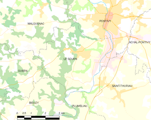
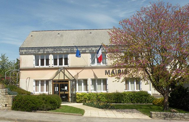
Le Sourn
- commune in Morbihan, France
- Country:
- Postal Code: 56300
- Coordinates: 48° 2' 35" N, 2° 59' 23" E
- GPS tracks (wikiloc): [Link]
- Area: 16.05 sq km
- Population: 2117
- Web site: [Link]


Séglien
- commune in Morbihan, France
- Country:
- Postal Code: 56160
- Coordinates: 48° 6' 25" N, 3° 9' 35" E
- GPS tracks (wikiloc): [Link]
- Area: 38.36 sq km
- Population: 691
- Web site: [Link]

Bieuzy
- commune in Morbihan, France
- Country:
- Postal Code: 56310
- Coordinates: 47° 59' 0" N, 3° 4' 0" E
- GPS tracks (wikiloc): [Link]
- Area: 18.98 sq km
- Population: 769
- Web site: [Link]


Bubry
- commune in Morbihan, France
- Country:
- Postal Code: 56310
- Coordinates: 47° 57' 49" N, 3° 10' 23" E
- GPS tracks (wikiloc): [Link]
- Area: 69.09 sq km
- Population: 2379


Melrand
- commune in Morbihan, France
- Country:
- Postal Code: 56310
- Coordinates: 47° 58' 49" N, 3° 6' 42" E
- GPS tracks (wikiloc): [Link]
- Area: 40.39 sq km
- Population: 1501
- Web site: [Link]

Malguénac
- commune in Morbihan, France
- Country:
- Postal Code: 56300
- Coordinates: 48° 4' 50" N, 3° 3' 5" E
- GPS tracks (wikiloc): [Link]
- Area: 38.45 sq km
- Population: 1823


Locmalo
- commune in Morbihan, France
- Country:
- Postal Code: 56160
- Coordinates: 48° 4' 21" N, 3° 11' 12" E
- GPS tracks (wikiloc): [Link]
- Area: 23.91 sq km
- Population: 909