Le Sourn (Le Sourn)

- commune in Morbihan, France
- Country:

- Postal Code: 56300
- Coordinates: 48° 2' 35" N, 2° 59' 23" E


- GPS tracks (wikiloc): [Link]
- Area: 16.05 sq km
- Population: 2117
- Web site: http://www.lesourn.fr
- Wikipedia en: wiki(en)
- Wikipedia: wiki(fr)
- Wikidata storage: Wikidata: Q127957
- Wikipedia Commons Category: [Link]
- Freebase ID: [/m/03cbp2n]
- GeoNames ID: Alt: [6456220]
- SIREN number: [215602467]
- BnF ID: [152654958]
- INSEE municipality code: 56246
Shares border with regions:
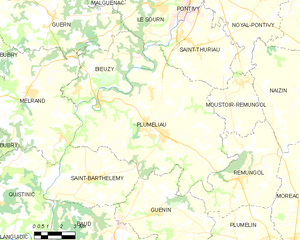
Pluméliau
- commune in Morbihan, France
- Country:
- Postal Code: 56930
- Coordinates: 47° 57' 28" N, 2° 58' 24" E
- GPS tracks (wikiloc): [Link]
- Area: 67.72 sq km
- Population: 3646
- Web site: [Link]


Saint-Thuriau
- commune in Morbihan, France
- Country:
- Postal Code: 56300
- Coordinates: 48° 1' 2" N, 2° 57' 1" E
- GPS tracks (wikiloc): [Link]
- Area: 21.47 sq km
- Population: 1854
- Web site: [Link]


Pontivy
- commune in Morbihan, France
- Country:
- Postal Code: 56300
- Coordinates: 48° 4' 7" N, 2° 57' 46" E
- GPS tracks (wikiloc): [Link]
- AboveSeaLevel: 60 м m
- Area: 24.85 sq km
- Population: 14117
- Web site: [Link]
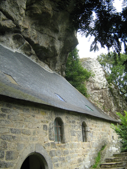

Bieuzy
- commune in Morbihan, France
- Country:
- Postal Code: 56310
- Coordinates: 47° 59' 0" N, 3° 4' 0" E
- GPS tracks (wikiloc): [Link]
- Area: 18.98 sq km
- Population: 769
- Web site: [Link]

Guern
- commune in Morbihan, France
- Country:
- Postal Code: 56310
- Coordinates: 48° 1' 50" N, 3° 5' 30" E
- GPS tracks (wikiloc): [Link]
- Area: 47.01 sq km
- Population: 1343
- Web site: [Link]

Malguénac
- commune in Morbihan, France
- Country:
- Postal Code: 56300
- Coordinates: 48° 4' 50" N, 3° 3' 5" E
- GPS tracks (wikiloc): [Link]
- Area: 38.45 sq km
- Population: 1823