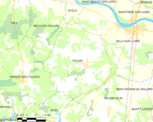
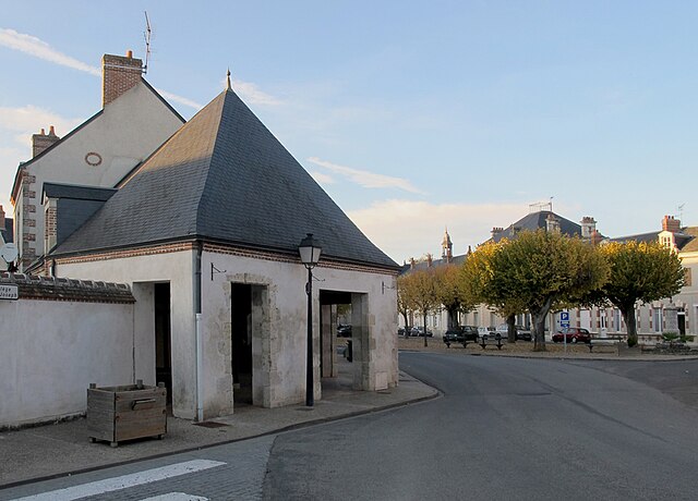
Guilly (Guilly)
- commune in Loiret, France
- Country:

- Postal Code: 45600
- Coordinates: 47° 48' 15" N, 2° 16' 35" E


- GPS tracks (wikiloc): [Link]
- Area: 17.03 sq km
- Population: 645
- Wikipedia en: wiki(en)
- Wikipedia: wiki(fr)
- Wikidata storage: Wikidata: Q1622106
- Wikipedia Commons Category: [Link]
- Freebase ID: [/m/03c6yp7]
- GeoNames ID: Alt: [6613963]
- SIREN number: [214501645]
- BnF ID: [15260556f]
- INSEE municipality code: 45164
Shares border with regions:


Sigloy
- commune in Loiret, France
- Country:

- Postal Code: 45110
- Coordinates: 47° 49' 59" N, 2° 13' 33" E


- GPS tracks (wikiloc): [Link]
- Area: 9.46 sq km
- Population: 673


Sully-sur-Loire
- commune in Loiret, France
- Country:

- Postal Code: 45600
- Coordinates: 47° 45' 54" N, 2° 22' 31" E


- GPS tracks (wikiloc): [Link]
- AboveSeaLevel: 119 м m
- Area: 43.6 sq km
- Population: 5386
- Web site: [Link]


Germigny-des-Prés
- commune in Loiret, France
- Country:

- Postal Code: 45110
- Coordinates: 47° 50' 45" N, 2° 15' 59" E


- GPS tracks (wikiloc): [Link]
- Area: 9.78 sq km
- Population: 742


Neuvy-en-Sullias
- commune in Loiret, France
- Country:

- Postal Code: 45510
- Coordinates: 47° 47' 40" N, 2° 14' 43" E


- GPS tracks (wikiloc): [Link]
- Area: 25.28 sq km
- Population: 1341
- Web site: [Link]


Viglain
- commune in Loiret, France
- Country:

- Postal Code: 45600
- Coordinates: 47° 43' 42" N, 2° 18' 9" E


- GPS tracks (wikiloc): [Link]
- Area: 39.99 sq km
- Population: 880


Saint-Benoît-sur-Loire
- commune in Loiret, France
- Country:

- Postal Code: 45730
- Coordinates: 47° 48' 38" N, 2° 18' 22" E


- GPS tracks (wikiloc): [Link]
- AboveSeaLevel: 100 м m
- Area: 18.27 sq km
- Population: 2055
- Web site: [Link]
