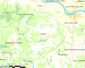
canton of Sully-sur-Loire (canton de Sully-sur-Loire)
- canton of France
- Country:

- Capital: Sully-sur-Loire
- Coordinates: 47° 43' 16" N, 2° 22' 7" E


- GPS tracks (wikiloc): [Link]
- Population: 32337
- Wikipedia en: wiki(en)
- Wikipedia: wiki(fr)
- Wikidata storage: Wikidata: Q1482777
- INSEE canton code: [4521]
Includes regions:


Isdes
- commune in Loiret, France
- Country:

- Postal Code: 45620
- Coordinates: 47° 40' 19" N, 2° 15' 20" E


- GPS tracks (wikiloc): [Link]
- Area: 43.89 sq km
- Population: 549
- Web site: [Link]
Saint-Aignan-le-Jaillard
- commune in Loiret, France
- Country:

- Postal Code: 45600
- Coordinates: 47° 44' 33" N, 2° 26' 21" E


- GPS tracks (wikiloc): [Link]
- Area: 24.31 sq km
- Population: 608


Cerdon
- commune in Loiret, France
- Country:

- Postal Code: 45620
- Coordinates: 47° 38' 9" N, 2° 21' 40" E


- GPS tracks (wikiloc): [Link]
- Area: 67.07 sq km
- Population: 967
- Web site: [Link]


Guilly
- commune in Loiret, France
- Country:

- Postal Code: 45600
- Coordinates: 47° 48' 15" N, 2° 16' 35" E


- GPS tracks (wikiloc): [Link]
- Area: 17.03 sq km
- Population: 645


Lion-en-Sullias
- commune in Loiret, France
- Country:

- Postal Code: 45600
- Coordinates: 47° 43' 37" N, 2° 29' 23" E


- GPS tracks (wikiloc): [Link]
- Area: 24.49 sq km
- Population: 406
- Web site: [Link]


Sully-sur-Loire
- commune in Loiret, France
- Country:

- Postal Code: 45600
- Coordinates: 47° 45' 54" N, 2° 22' 31" E


- GPS tracks (wikiloc): [Link]
- AboveSeaLevel: 119 м m
- Area: 43.6 sq km
- Population: 5386
- Web site: [Link]


Villemurlin
- commune in Loiret, France
- Country:

- Postal Code: 45600
- Coordinates: 47° 41' 6" N, 2° 20' 8" E


- GPS tracks (wikiloc): [Link]
- Area: 48.95 sq km
- Population: 600
- Web site: [Link]


Viglain
- commune in Loiret, France
- Country:

- Postal Code: 45600
- Coordinates: 47° 43' 42" N, 2° 18' 9" E


- GPS tracks (wikiloc): [Link]
- Area: 39.99 sq km
- Population: 880


Saint-Père-sur-Loire
- commune in Loiret, France
- Country:

- Postal Code: 45600
- Coordinates: 47° 46' 29" N, 2° 22' 13" E


- GPS tracks (wikiloc): [Link]
- Area: 10.69 sq km
- Population: 1049
- Web site: [Link]


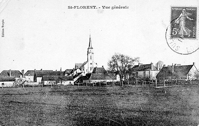
Saint-Florent
- commune in Loiret, France
- Country:

- Postal Code: 45600
- Coordinates: 47° 41' 0" N, 2° 29' 0" E


- GPS tracks (wikiloc): [Link]
- Area: 37.78 sq km
- Population: 448
