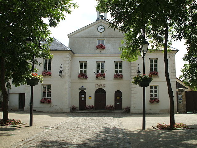
Hérouville-en-Vexin (Hérouville-en-Vexin)

- commune in Val-d'Oise, France
- Country:

- Postal Code: 95300
- Coordinates: 49° 6' 4" N, 2° 7' 58" E


- GPS tracks (wikiloc): [Link]
- Area: 8.42 sq km
- Population: 616
- Web site: http://www.herouville-en-vexin.net
- Wikipedia en: wiki(en)
- Wikipedia: wiki(fr)
- Wikidata storage: Wikidata: Q1459299
- Wikipedia Commons Category: [Link]
- Freebase ID: [/m/03qlkqn]
- Freebase ID: [/m/03qlkqn]
- GeoNames ID: Alt: [3013404]
- GeoNames ID: Alt: [3013404]
- SIREN number: [219503083]
- SIREN number: [219503083]
- BnF ID: [15280457x]
- BnF ID: [15280457x]
- MusicBrainz area ID: [eed44d02-0b39-459b-8c5f-3f43c2d1b823]
- MusicBrainz area ID: [eed44d02-0b39-459b-8c5f-3f43c2d1b823]
- INSEE municipality code: 95308
- INSEE municipality code: 95308
Shares border with regions:

Ennery
- commune in Val-d'Oise, France
- Country:
- Postal Code: 95300
- Coordinates: 49° 4' 28" N, 2° 6' 22" E
- GPS tracks (wikiloc): [Link]
- Area: 7.43 sq km
- Population: 2416
- Web site: [Link]


Labbeville
- commune in Val-d'Oise, France
- Country:
- Postal Code: 95690
- Coordinates: 49° 8' 5" N, 2° 8' 35" E
- GPS tracks (wikiloc): [Link]
- Area: 8.07 sq km
- Population: 606
- Web site: [Link]


Livilliers
- commune in Val-d'Oise, France
- Country:
- Postal Code: 95300
- Coordinates: 49° 5' 44" N, 2° 5' 41" E
- GPS tracks (wikiloc): [Link]
- Area: 6.53 sq km
- Population: 390
- Web site: [Link]


Vallangoujard
- commune in Val-d'Oise, France
- Country:
- Postal Code: 95810
- Coordinates: 49° 8' 23" N, 2° 6' 43" E
- GPS tracks (wikiloc): [Link]
- Area: 7.6 sq km
- Population: 628
- Web site: [Link]


Auvers-sur-Oise
- commune in Val-d'Oise, France
- Country:
- Postal Code: 95430
- Coordinates: 49° 4' 18" N, 2° 10' 27" E
- GPS tracks (wikiloc): [Link]
- Area: 12.69 sq km
- Population: 6964
- Web site: [Link]


Nesles-la-Vallée
- commune in Val-d'Oise, France
- Country:
- Postal Code: 95690
- Coordinates: 49° 7' 48" N, 2° 10' 14" E
- GPS tracks (wikiloc): [Link]
- Area: 13.46 sq km
- Population: 1801