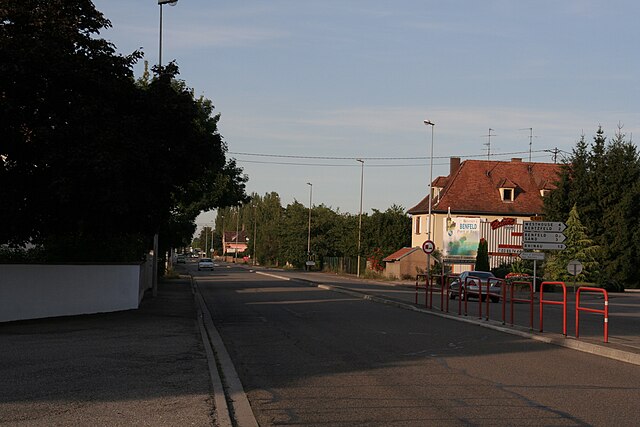
Herbsheim (Herbsheim)

- commune in Bas-Rhin, France
- Country:

- Postal Code: 67230
- Coordinates: 48° 21' 1" N, 7° 37' 53" E


- GPS tracks (wikiloc): [Link]
- Area: 8.6 sq km
- Population: 914
- Wikipedia en: wiki(en)
- Wikipedia: wiki(fr)
- Wikidata storage: Wikidata: Q21378
- Wikipedia Commons Category: [Link]
- Freebase ID: [/m/03m98bq]
- Freebase ID: [/m/03m98bq]
- GeoNames ID: Alt: [6441143]
- GeoNames ID: Alt: [6441143]
- SIREN number: [216701920]
- SIREN number: [216701920]
- BnF ID: [152713341]
- BnF ID: [152713341]
- INSEE municipality code: 67192
- INSEE municipality code: 67192
Shares border with regions:
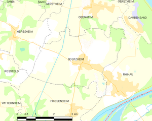
Boofzheim
- commune in Bas-Rhin, France
- Country:
- Postal Code: 67860
- Coordinates: 48° 19' 54" N, 7° 40' 51" E
- GPS tracks (wikiloc): [Link]
- Area: 11.94 sq km
- Population: 1331


Gerstheim
- commune in Bas-Rhin, France
- Country:
- Postal Code: 67150
- Coordinates: 48° 22' 56" N, 7° 42' 9" E
- GPS tracks (wikiloc): [Link]
- Area: 16.42 sq km
- Population: 3382

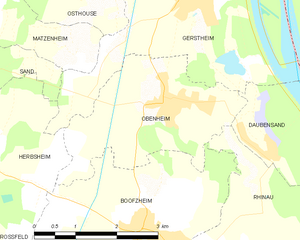
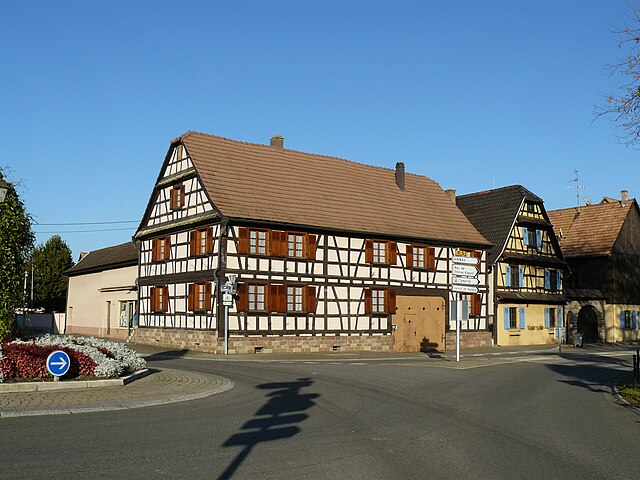
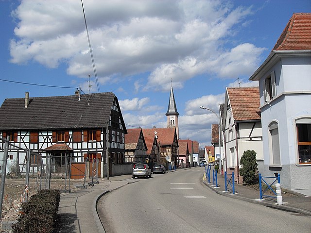
Obenheim
- commune in Bas-Rhin, France
- Country:
- Postal Code: 67230
- Coordinates: 48° 21' 37" N, 7° 41' 21" E
- GPS tracks (wikiloc): [Link]
- Area: 7.99 sq km
- Population: 1405

Rossfeld
- commune in Bas-Rhin, France
- Country:
- Postal Code: 67230
- Coordinates: 48° 20' 21" N, 7° 36' 57" E
- GPS tracks (wikiloc): [Link]
- Area: 6.15 sq km
- Population: 976

Benfeld
- commune in Bas-Rhin, France
- Country:
- Postal Code: 67230
- Coordinates: 48° 22' 14" N, 7° 35' 32" E
- GPS tracks (wikiloc): [Link]
- Area: 7.79 sq km
- Population: 5724
- Web site: [Link]


Sand
- commune in Bas-Rhin, France
- Country:
- Postal Code: 67230
- Coordinates: 48° 22' 58" N, 7° 36' 48" E
- GPS tracks (wikiloc): [Link]
- Area: 6.35 sq km
- Population: 1189