Horneburg (Samtgemeinde Horneburg)

- Samtgemeinde in Lower Saxony
 Hiking in Horneburg
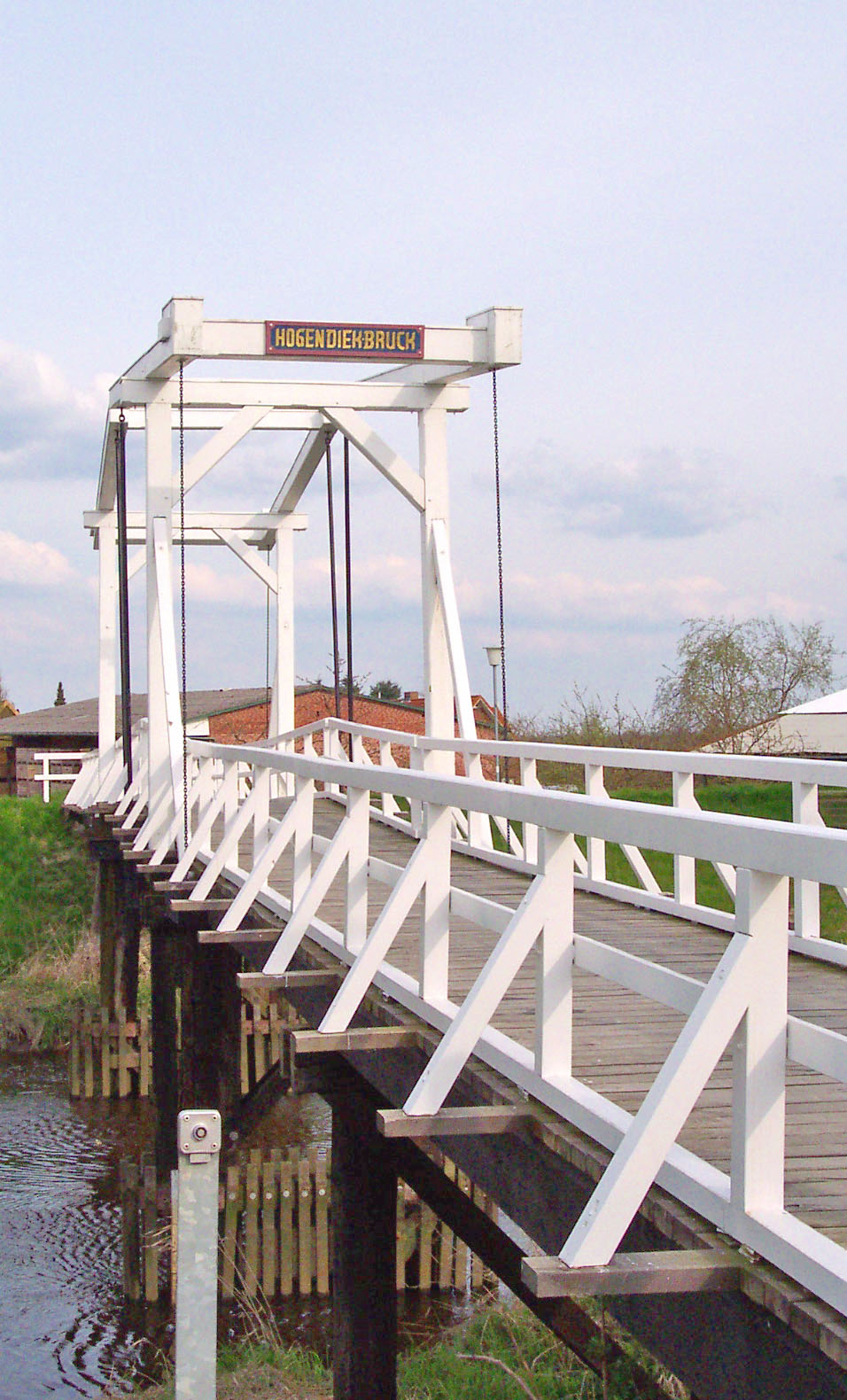
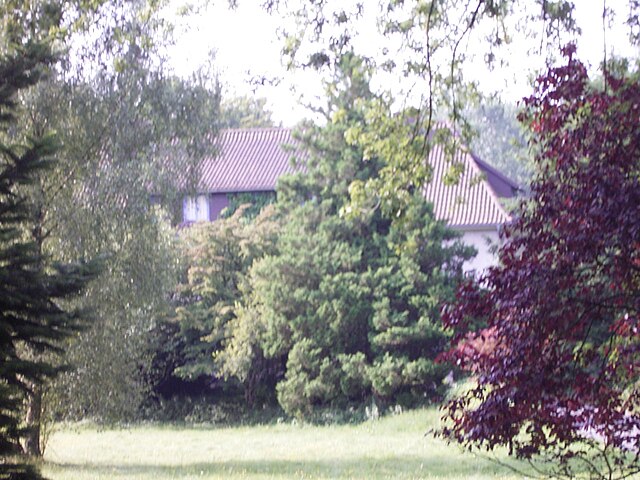
Horneburg, located in the Lower Saxony region of Germany, is surrounded by a picturesque landscape that offers a mix of trails suitable for different hiking levels. While it may not be as well-known as some other hiking destinations in Germany, the area provides a tranquil outdoor experience, ideal for nature lovers and those looking to escape the hustle and bustle of city life.
Key Features for Hiking in Horneburg:
-
Scenic Trails: The region has a variety of paths that wind through forests, fields, and along rivers. The landscape is characterized by its serene natural beauty, making for a pleasant hiking experience.
-
Local Nature Reserves: Nearby nature reserves can provide opportunities for longer hikes and wildlife observation. Look for trails that offer scenic views of local flora and fauna.
-
Accessibility: Horneburg is relatively accessible, making it easy for both locals and visitors to enjoy a day hike. Many trails start from the town or nearby parking areas.
-
Family-Friendly Options: There are trails that are suitable for families and beginners, often featuring shorter distances and flatter terrains.
-
Cultural Sites: In addition to enjoying nature, hikers may also encounter historical landmarks and cultural sites along the way, enriching the hiking experience.
-
Weather Considerations: The best time for hiking is typically from late spring through early autumn when weather conditions are mild. Be prepared for rain, as weather can be changeable.
-
Local Regulations: Always check for any local regulations regarding trail usage, especially in nature reserves, as some areas may have restrictions to protect wildlife.
Tips for Hiking in Horneburg:
-
Wear Appropriate Gear: Good hiking shoes, weather-appropriate clothing, and day packs with water and snacks are essential.
-
Plan Your Route: Research and possibly download trail maps beforehand. There are several online resources and community insights that share trail experiences.
-
Stay Safe: Let someone know your hiking plans, especially if you're venturing on less-popular trails. Carry a charged mobile phone for emergencies.
-
Respect Nature: Follow Leave No Trace principles to keep the trails clean and preserve the beauty of the environment.
By exploring Horneburg and its surrounding areas, you can enjoy a peaceful hiking experience amidst nature, making it a perfect getaway for outdoor enthusiasts.
- Country:

- Coordinates: 53° 30' 0" N, 9° 35' 0" E


- GPS tracks (wikiloc): [Link]
- Population: 12572
- Web site: http://www.horneburg.de/
- Wikipedia en: wiki(en)
- Wikipedia: wiki(de)
- Wikidata storage: Wikidata: Q486804
- Wikipedia Commons Category: [Link]
- Freebase ID: [/m/02w04l4]
- Freebase ID: [/m/02w04l4]
- Freebase ID: [/m/02w04l4]
- VIAF ID: Alt: [242713243]
- VIAF ID: Alt: [242713243]
- VIAF ID: Alt: [242713243]
- OSM relation ID: [445843]
- OSM relation ID: [445843]
- OSM relation ID: [445843]
- GND ID: Alt: [4339017-1]
- GND ID: Alt: [4339017-1]
- GND ID: Alt: [4339017-1]
- German regional key: 033595405
- German regional key: 033595405
- German regional key: 033595405
Includes regions:


Agathenburg
- municipality of Germany
Hiking in Agathenburg
Agathenburg is a small municipality located in Lower Saxony, Germany, and while it may not be as widely recognized as major hiking destinations, it offers opportunities for outdoor enthusiasts who enjoy tranquil and scenic landscapes....
- Country:
- Postal Code: 21684
- Local Dialing Code: 04141
- Licence Plate Code: STD
- Coordinates: 53° 33' 50" N, 9° 31' 47" E
- GPS tracks (wikiloc): [Link]
- AboveSeaLevel: 16 м m
- Area: 11.32 sq km
- Population: 1177
- Web site: [Link]


Dollern
- municipality of Germany
Hiking in Dollern
Dollern is a quaint village located in Lower Saxony, Germany, which is surrounded by beautiful natural landscapes, making it suitable for hiking enthusiasts. While it may not be a well-known hiking destination, here are some aspects you might consider when hiking in and around Dollern:...
- Country:
- Postal Code: 21739
- Local Dialing Code: 04163
- Licence Plate Code: STD
- Coordinates: 53° 32' 0" N, 9° 33' 0" E
- GPS tracks (wikiloc): [Link]
- AboveSeaLevel: 31 м m
- Area: 11.96 sq km
- Population: 2052
- Web site: [Link]

Nottensdorf
- municipality of Germany
Hiking in Nottensdorf
Nottensdorf, located in the northern part of Germany, offers some lovely hiking opportunities in a scenic environment. The region is characterized by a mix of forests, meadows, and waterways, providing a diverse landscape for hikers of all skill levels....
- Country:
- Postal Code: 21640
- Local Dialing Code: 04163
- Licence Plate Code: STD
- Coordinates: 53° 29' 0" N, 9° 36' 0" E
- GPS tracks (wikiloc): [Link]
- AboveSeaLevel: 22 м m
- Area: 7.14 sq km
- Population: 1441
- Web site: [Link]

Horneburg
- municipality of Germany
Hiking in Horneburg
Horneburg is a quaint town in Lower Saxony, Germany. While it might not be as well-known for extensive hiking trails compared to more mountainous regions, there are still opportunities to enjoy nature and hiking in and around the area....
- Country:
- Postal Code: 21640
- Local Dialing Code: 04163
- Licence Plate Code: STD
- Coordinates: 53° 30' 34" N, 9° 34' 30" E
- GPS tracks (wikiloc): [Link]
- AboveSeaLevel: 12 м m
- Area: 17.13 sq km
- Population: 6170
- Web site: [Link]


Bliedersdorf
- municipality of Germany
Hiking in Bliedersdorf
Bliedersdorf is a small village located in the Lower Saxony region of Germany, near the larger town of Lüneburg. While the village itself may not be a well-known hiking destination, the surrounding areas provide opportunities for outdoor exploration. Here are some key points about hiking in and around Bliedersdorf:...
- Country:
- Postal Code: 21640
- Local Dialing Code: 04163
- Licence Plate Code: STD
- Coordinates: 53° 29' 0" N, 9° 34' 0" E
- GPS tracks (wikiloc): [Link]
- AboveSeaLevel: 23 м m
- Area: 12.42 sq km
- Population: 1720
- Web site: [Link]
Shares border with regions:


Buxtehude
- German town
Hiking in Buxtehude
Buxtehude, located in Lower Saxony, Germany, is known for its beautiful landscapes and charming surroundings, making it a great destination for hiking enthusiasts. The area is characterized by its lush woodlands, scenic rivers, and picturesque countryside....
- Country:
- Postal Code: 21614
- Local Dialing Code: 04161
- Licence Plate Code: STD
- Coordinates: 53° 28' 37" N, 9° 42' 4" E
- GPS tracks (wikiloc): [Link]
- AboveSeaLevel: 5 м m
- Area: 76.49 sq km
- Population: 40033
- Web site: [Link]

Harsefeld
- Samtgemeinde in Lower Saxony
Hiking in Harsefeld
Harsefeld, located in the Samtgemeinde (collective municipality) of Harsefeld in Lower Saxony, Germany, offers a beautiful setting for hiking enthusiasts. The region is characterized by its picturesque landscapes, including lush forests, charming rural paths, and scenic views of agricultural fields....
- Country:
- Coordinates: 53° 27' 0" N, 9° 30' 0" E
- GPS tracks (wikiloc): [Link]
- Population: 21294
- Web site: [Link]
Lühe
- Samtgemeinde in Lower Saxony
Hiking in Lühe
Lühe is a small municipality located in Lower Saxony, Germany, situated near the Elbe River. While it may not be a renowned hiking destination like larger national parks or mountainous regions, the area does offer some lovely walking and hiking opportunities for those who enjoy scenic views, nature, and a peaceful environment....
- Country:
- Coordinates: 53° 33' 0" N, 9° 36' 0" E
- GPS tracks (wikiloc): [Link]
- Population: 9939
- Web site: [Link]
Apensen
- Samtgemeinde in Lower Saxony
Hiking in Apensen
Apensen is a municipality located in the Lower Saxony region of Germany, known for its enchanting landscapes, rural charm, and proximity to natural reserves. While it might not be widely recognized as a major hiking destination, it offers various trails and paths that allow hikers to explore its scenic countryside and enjoy the tranquility that nature has to offer....
- Country:
- Coordinates: 53° 26' 9" N, 9° 37' 9" E
- GPS tracks (wikiloc): [Link]
- Area: 74.01 sq km
- Population: 9139
- Web site: [Link]